South Island Day 6 – Routeburn Hike Day 1
We woke up in time to have a little breakfast, make some final adjustments to our backpacks, and double check our route and timing.. We then put our gear on (waterproof head to toe, since it was gonna be wet for the first day at least), and headed to the parks and rec building just a block away from the campsite in Te Anau to catch our bus to the Divide – the western side of the Routeburn track. We had decided to go west to east, as opposed to the more common east to west direction, which i think turned out great… We did it not only due to the steepness of some of the sections, but also, I had a plan to spend some time in Queenstown after the trek, but as you read on, you’ll see that didn’t work out.
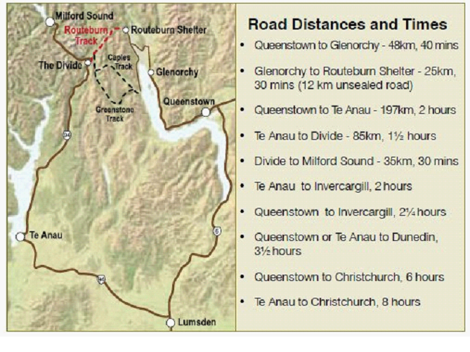
Here is the route we were taking.. the red section is the hike, the rest are bus rides. So Te Anau to Divide was our start, then we walk for 3 days (2 nights) to get to the Routeburn Shelter, then buses eventually all the way back to Te Anau. The walk can be shorter, but we planned on a relaxing stroll, with lots of stops for picture taking, etc.
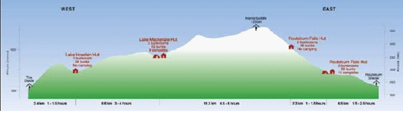
The actual walk elevations are shown below.. We stayed the first night at Lake Mackenzie Hut, then the second night at the Routeburn Falls Hut…
So we started off with a slightly steep climb from the divide.. Which was kinda tough… After the driving ‘injury’ and now lugging around a backpack with 3 days supplies, the shoulder(s) are killing and the feet are getting sore as hell. But it could have been much worse. We were very prepared, with great breathable waterproof gear that we spent good coin on, as well as great hiking boots and great backpacks.
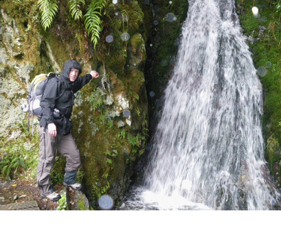
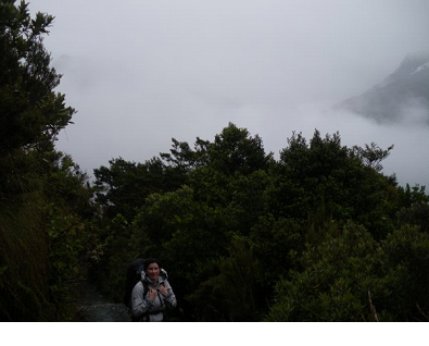
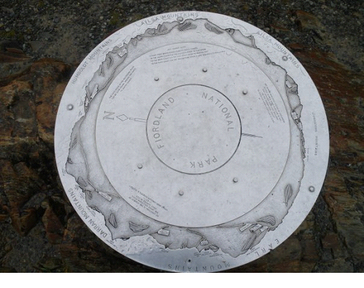
So the first day was a lot of climbing.. though well worth it, with countless amazing waterfalls we would walk right up to, as well as a side trip to the Key Summit. While the rain was making the water falls come alive, we lost out on some landscape visibility… This plaque at the Key Summit shows the 360 degree view of mountains which would be visible on clear days…
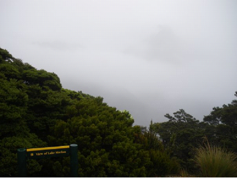
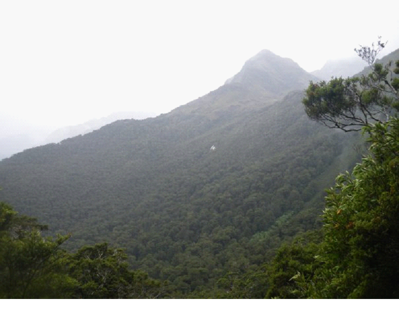
But here is an example what we saw when it came to distant views:
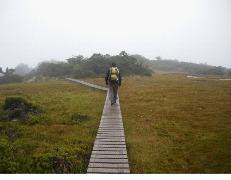
On top of this mountain, at the Key Summit, there was a Alpine Nature walk, with water bogs and other alpine plants.. Here I am walking along a boardwalk above some of the water bogs…
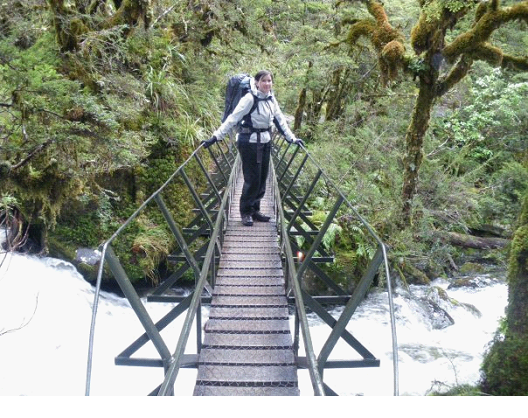
The trails were pretty well groomed, with sturdy bridges in some places – other areas you had to walk into the water across small streams.
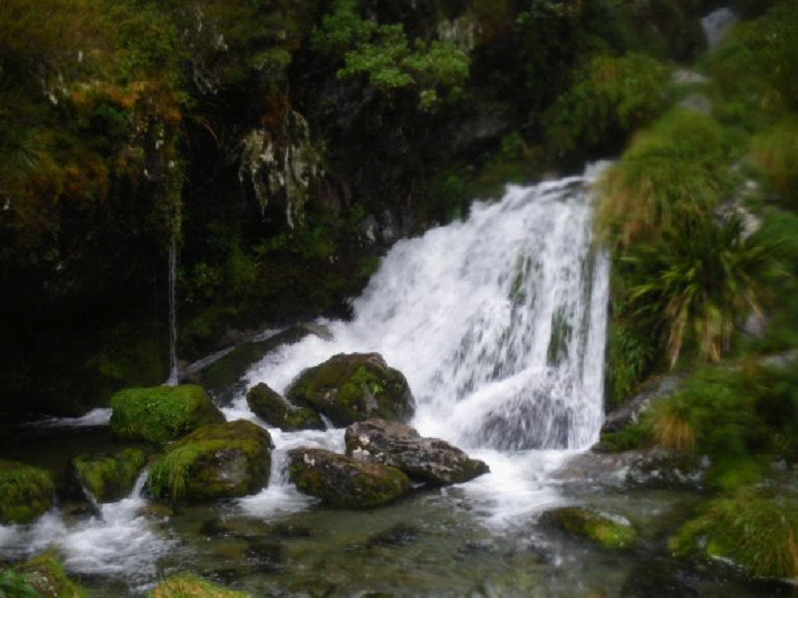
You could see waterfalls in the distance at all times.. Peaking through the forest.. In some cases, the waterfalls you first saw in the distance, were eventually right above you!
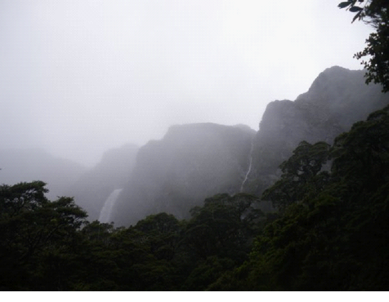
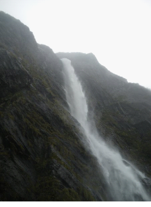
The big falls on the above photo were called Earland Falls.. They were spectacular.. and amazingly enough, the trail basically brings you right under them.. Boy that was windy! And a little too wet to take photos.. But I took one just after passing by it:
And in this pic below, you can see part of the trail (a small bridge) in the bottom right corner:
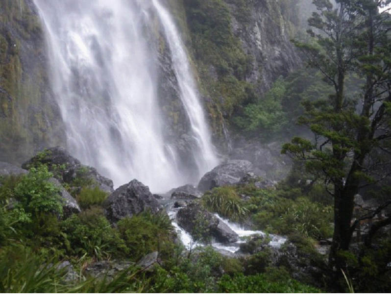
When we were finally able to tear ourselves away from this place, I took another pic looking back, from a few steps into the forest.. I just couldn’t get over the beauty..
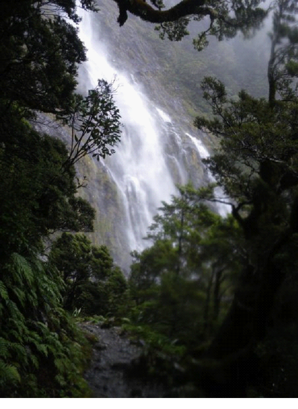
We continued on.. At this point with a camera which was getting a little too wet.. Between the off and on drizzle, the dampness in general, and then a waterfall or two, the water was starting to affect the pics.. But still great looking sites nonetheless..
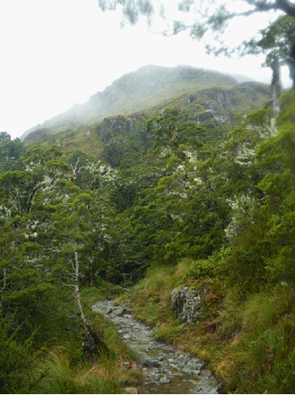
Great pic showing the white lichens growing on the trees in many places:
Once we finally arrived at the Hut, we were told to just grab a bunk that was open, then sign a sheet that you arrived, and what bunk you took… The warden would be paying a visit soon, and would check that you had your reservation ticket, etc. There were basically 3 buildings – a common room that had some bunks on the upper floor above it, a bathroom building with sinks and toilets, and another building with just more bunks. There was also a little cottage, where the warden on duty stayed. The common area had a stove where very wet people were constantly feeding the fire, a few tables and chairs, as well as a kitchen area with a ton of gas stoves to cook on, and a few sinks. The stove area of the hut was jammed with clothes drying, in every possible place they could be hung.. Apparently not everyone heeded the warnings that you are basically guaranteed at least one day of rain while on the track.
Here is a steamy (camera was drying out still) and blurry (it was dim, and I didn’t steady the camera) view of what the bunk building looked like:
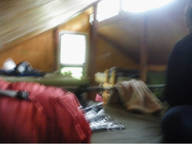
The bunks were basically 4 to a bed, with an upper and lower level. There were 4 of them in this building. We were lucky enough to have an entire level to ourselves to stretch our sleeping bags out on. There is no heat in the building – which was fine with our great sleeping bags (it was a little chilly outside at night – probably 10 degrees or so).
We cooked ourselves up some dinner, ate it, and started playing cards / reading.. And then the warden came. He was hilarious. He got the room’s attention, and preceded to tells some great stories, and some interesting history of the place. He referred to the wardens as the most dangerous creature in the NZ wilderness 😉
Told us stories of people who got lost on the trails.. Some of the folks who came along not realizing it wasn’t going to be a nicely paved path, etc..
Anyway, it wasn’t very hard to fall asleep a little later on.. Our second day of the hike would be the most spectacular, but also the one with the most hiking..