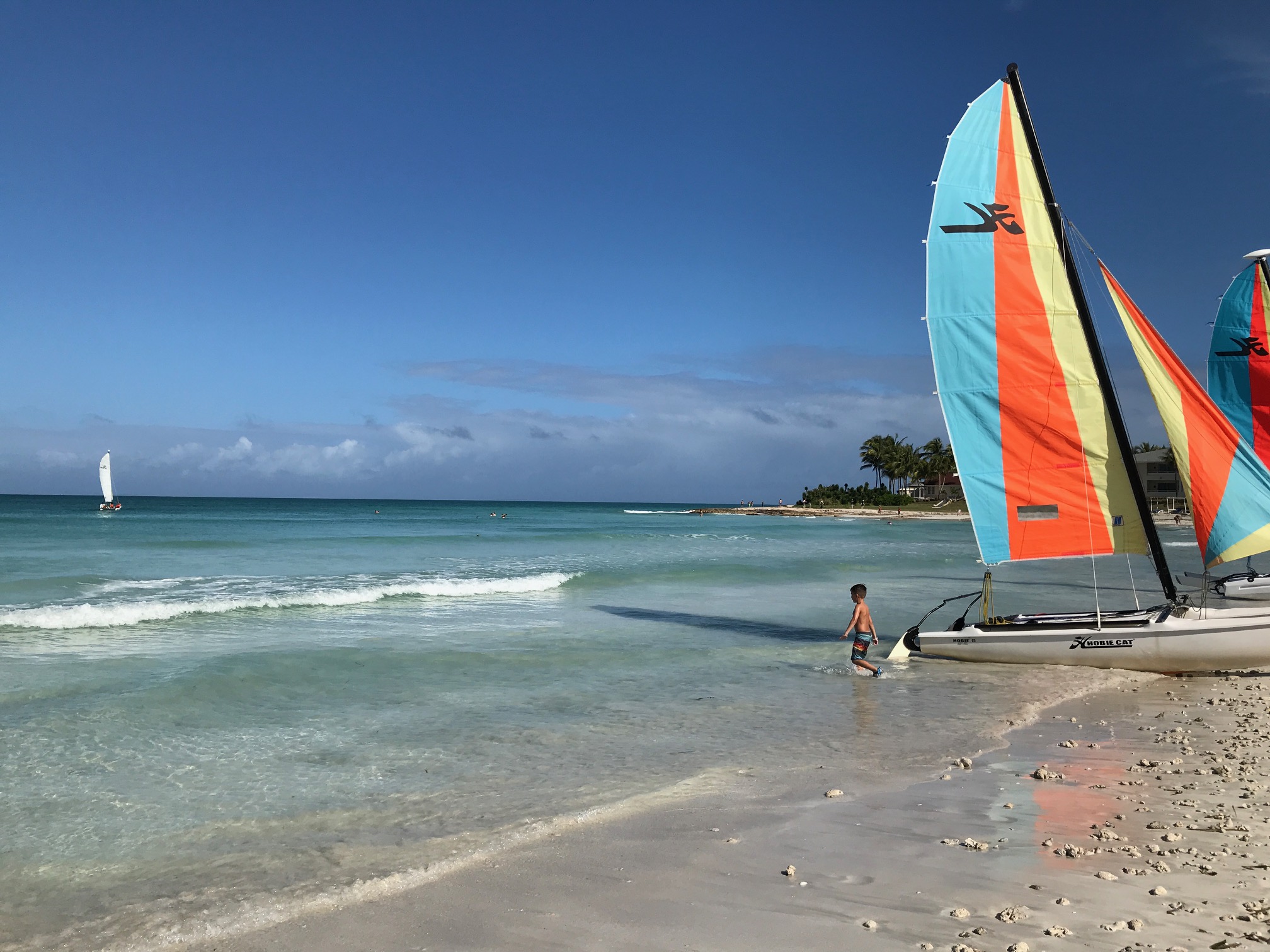
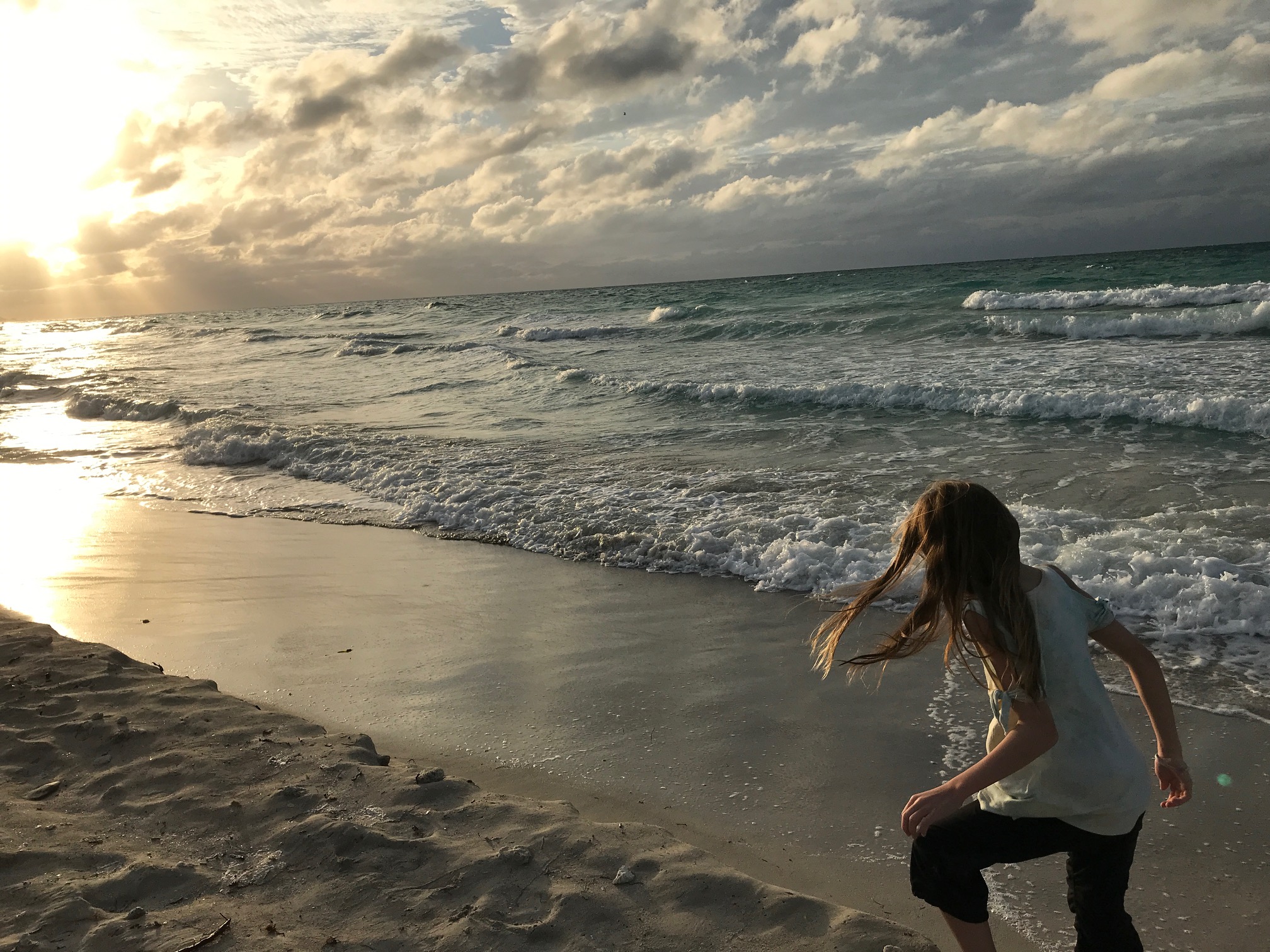
Real quick weekend outing made for a relaxing couple days on the beach / poolside…
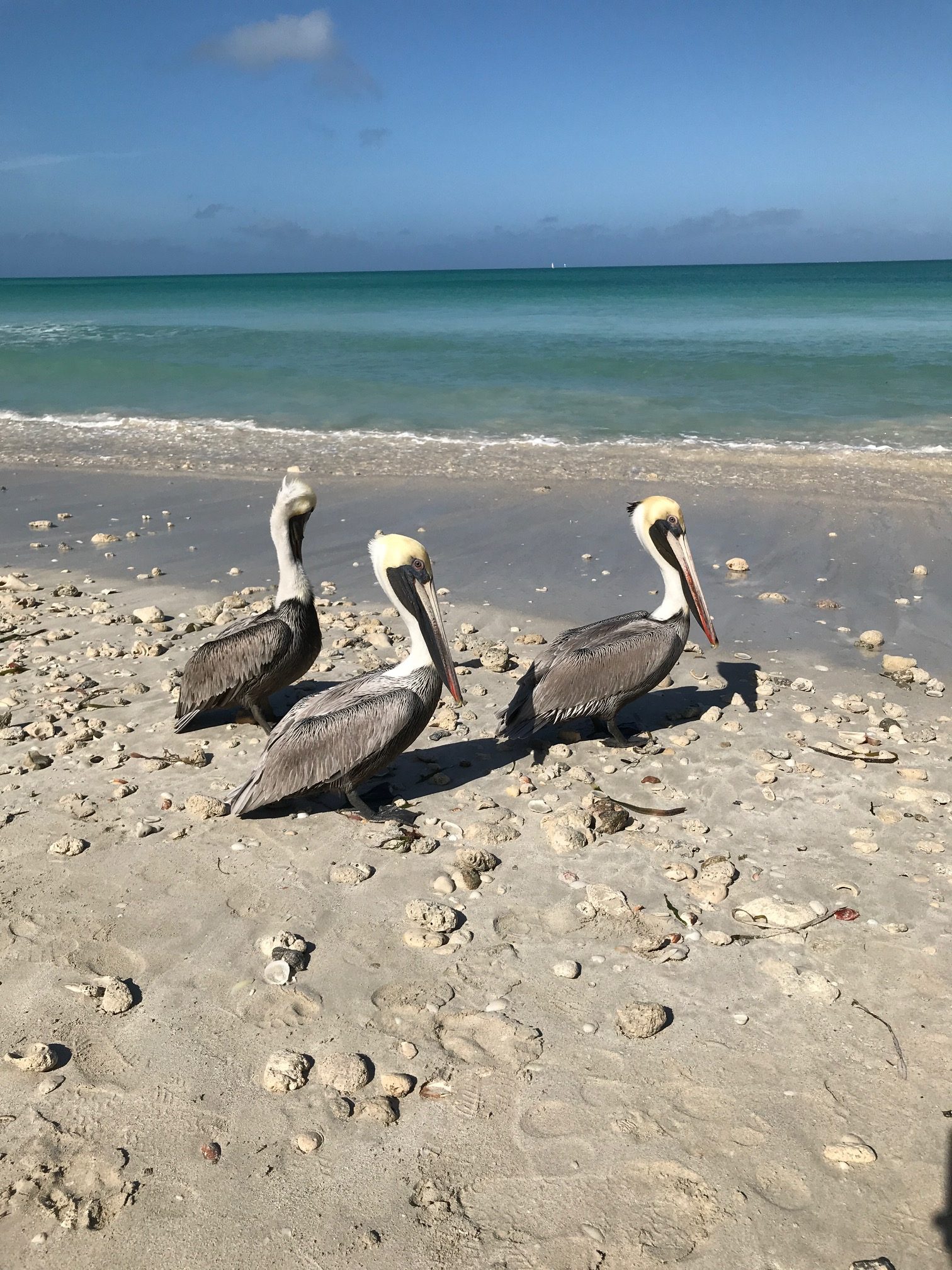
The pelicans hung around quite a bit.. You can see all the corral that was along the shore.. had to pick and choose where to go in to avoid stepping on them.. smooth sand once a few feet into the water though.. and waist high for like 50 feet out. Wonder if the corral is from the recent hurricanes nearby last summer.
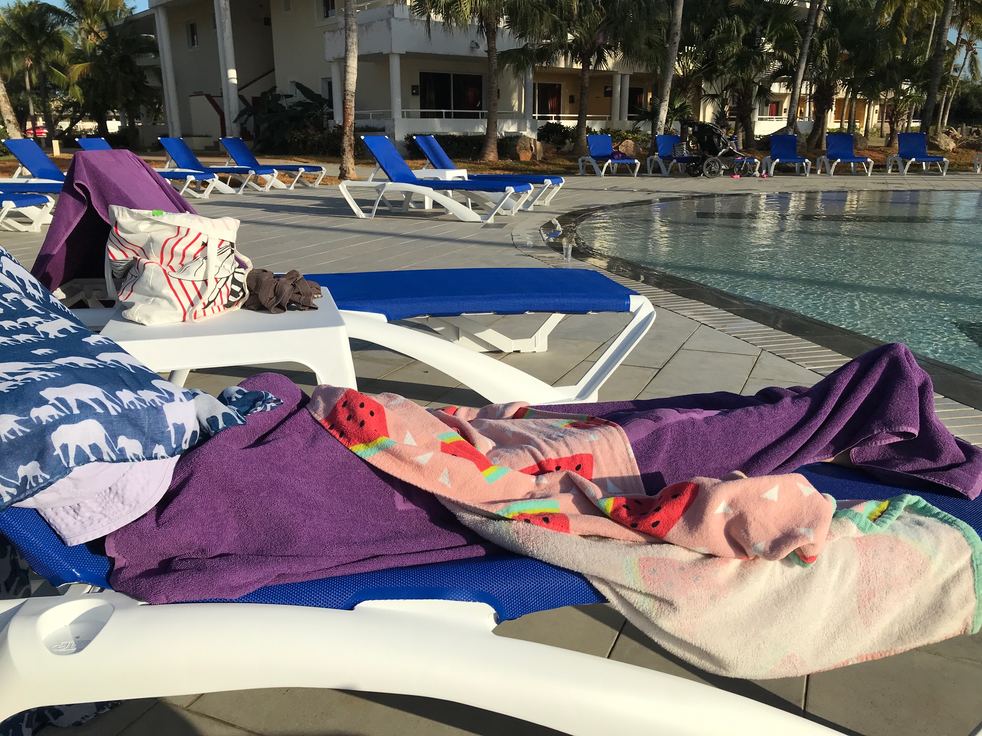
K fell asleep by the pool.. very rare nap! We did get in a little late from our flight..lots of excitement to recover from..
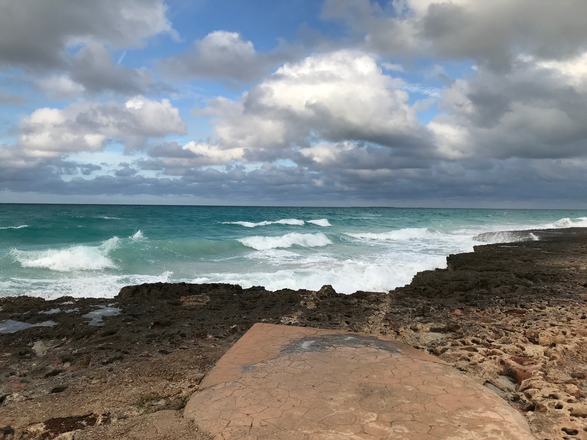
A rocky area behind the apartments..
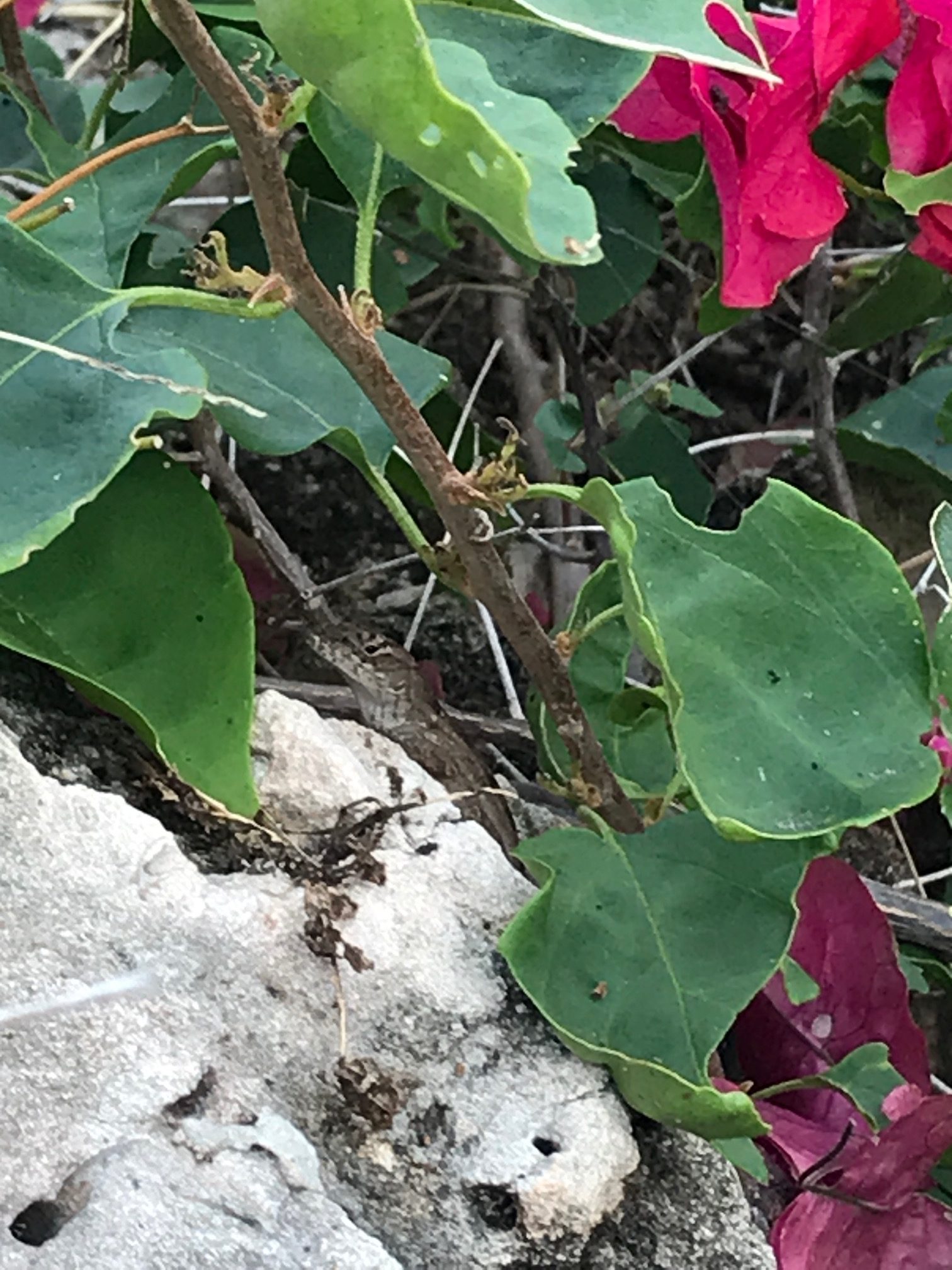
A Cuban lizard..Ola!
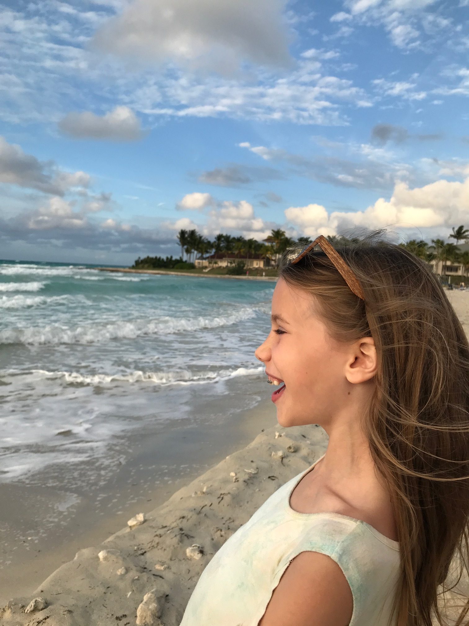
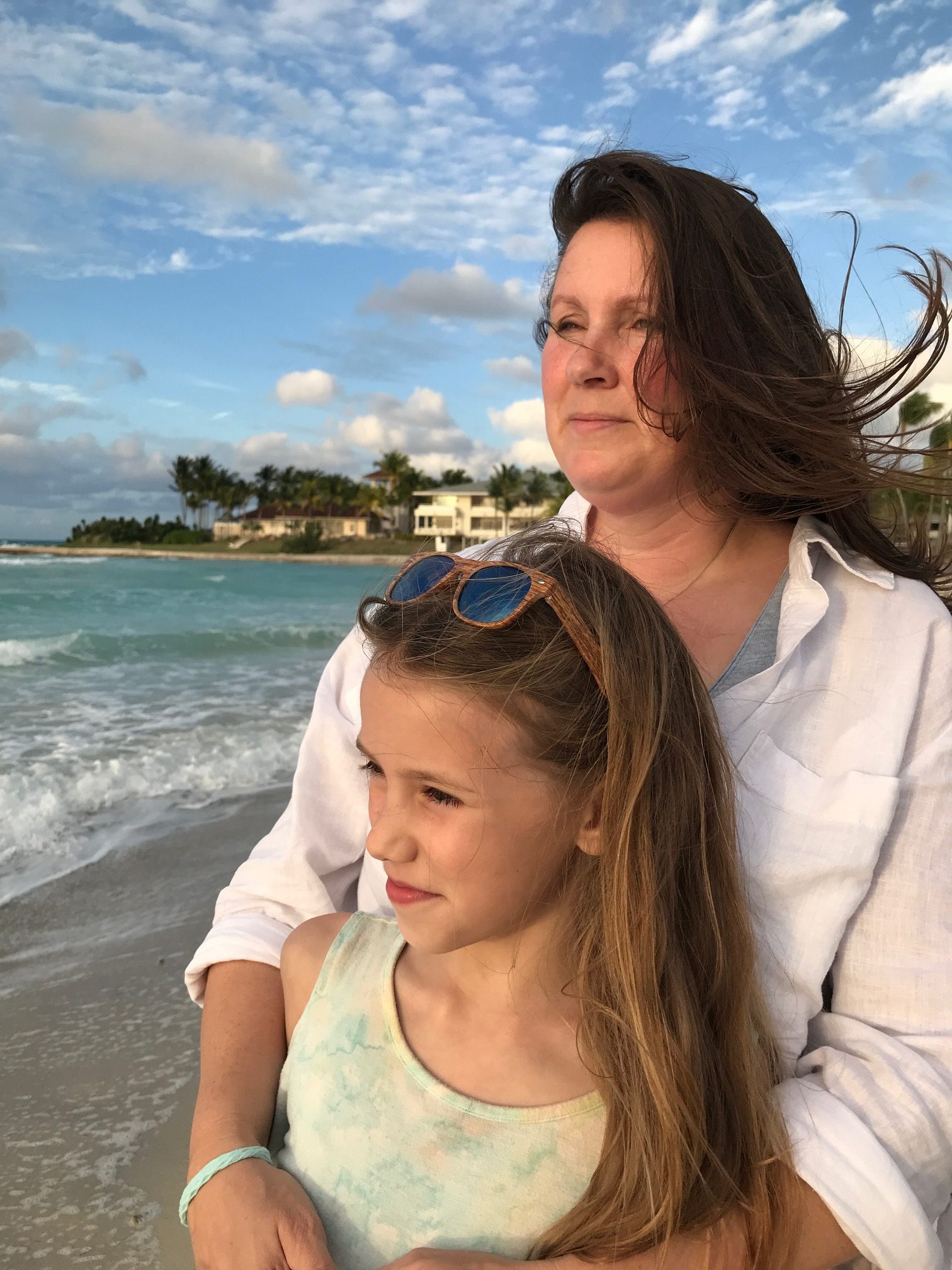
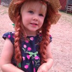
My senoritas..
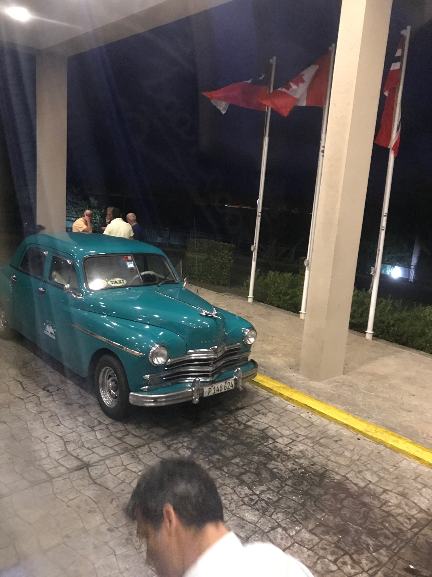
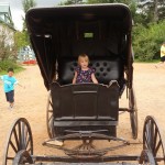
Cuba is full of these classic looking cars.. short and stubby cool looking cars.. Tons of chances to take some pics of great ones, and of course i didn’t .. just this last one from the bus as we headed for the airport
So it was a sad day – the beginning of the end. About 2 days of travelling back home.. Which started out with a drive to airport in Christchurch. Unfortunately, the drop of point for the camper was busy as heck.
Mish stayed at the airport and organized our flights, while I waited for an hour to return the camper.
With all the waiting that we weren’t ready for, we missed the 12pm flight to Auckland.
So we were stuck waiting for a couple more hours, had some lunch at the airport, and got on the 3pm flight.
Once we got to Auckland, we grabbed a shuttle to the Hyatt for our last night’s stay. It was a pretty good plan that way. After about two weeks in a camper, it was great to have a night in a hotel, with a great shower, and all the creature comforts!
We walked around town for a bit, had a dinner on Vulcan street in a little pub, where I watched a bit of jet boat racing called “jetsprinting”.. First time I’d seen that. Typical adrenaline seeking stuff around here. Boat races, where the boats make 90 degree turns, whipping around crazy fast.
After some relaxation, we had a swim at the Hyatt, relaxed in the hot tub.. then went to bed very early, since our flight to Sydney in the morning was at 6am, and we’d have to be there an hour early at least, and it would take close to an hour to get there…
Day 18
We woke at 3am to go to airport for the 6am flight.. Everything went rather smoothly, though we got the very back of the plane…. It wasn’t a long flight though, so not a big deal..
We got onto the flight we wanted from Sydney to Vancouver, so that was a relief though.. So after a couple hours sitting around in the Sydney airport, we headed for Canada!
We were lucky enough to get Executive class seats as well, which would help for the crazy long flight (~16 hours?). They were the bed seats that fold flat for sleeping.. Great stuff.
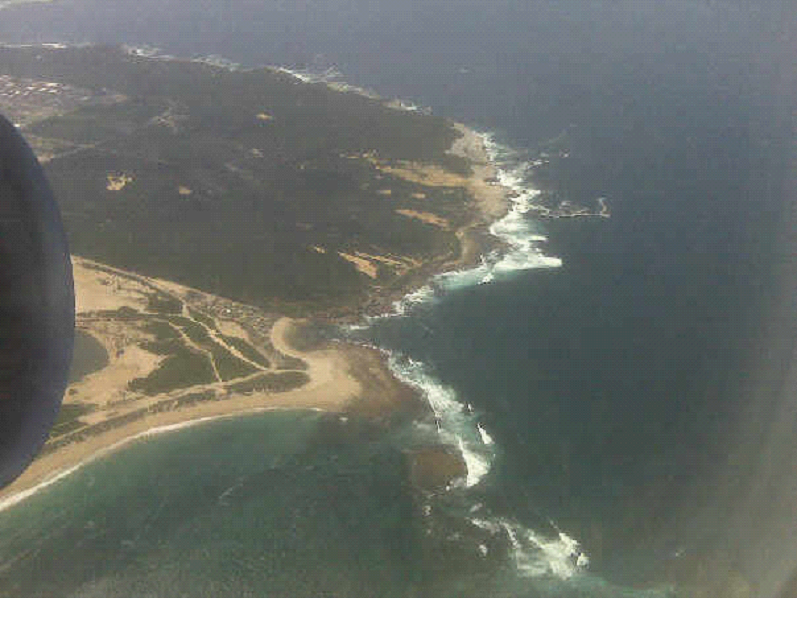
I took a pic with my phone as we left Sydney:
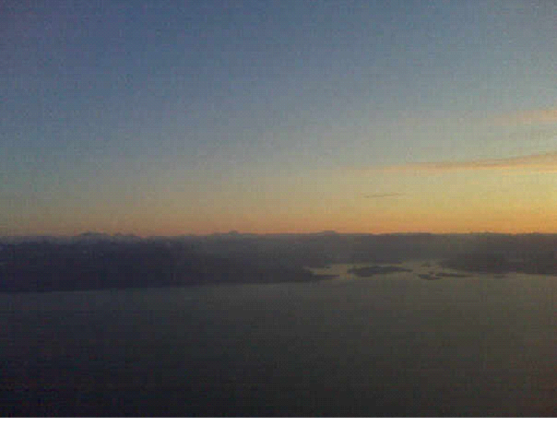
I took another pic from my phone as we approached Vancouver..
We then got onto our Toronto bound flight as planned, though we were at the back of the bus for that one. Mish and I both had isle seats, a couple rows apart from each other.. But at least we got on the flight!
So that wrapped up our Honeymoon in New Zealand.. It was an amazing time.. It was “Sweet As” as they say! I highly recommend NZ to anyone, if you are lucky enough to get the opportunity.. Just to list them out, here are a few things we wanted to do, but didn’t have the chance (3 weeks isn’t near enough for everything!):
White Island: a volcanic island
North Western edge of the north island: sand dunes, sand surfing..
South Island Day 16 – Kaikoura Whale Watching & Dolphins
We drove down the east coast to Kaikoura for the last event of the trip.. A Whale Watch tour which we booked before we left..
My hopes weren’t too high, as I didn’t know too much about the area, though they had a web site that showed stats for what was spotted each day – and they looked like pretty good odds.
We loaded into a pretty powerful boat, with a glassed in interior, and viewing decks outside. When the boat loaded, people rushed the gates, and it turned out that Mish and I had to sit apart inside.. That kinda sucked, but it turned out that we were only inside in-between sightings – and there were to be many of them!
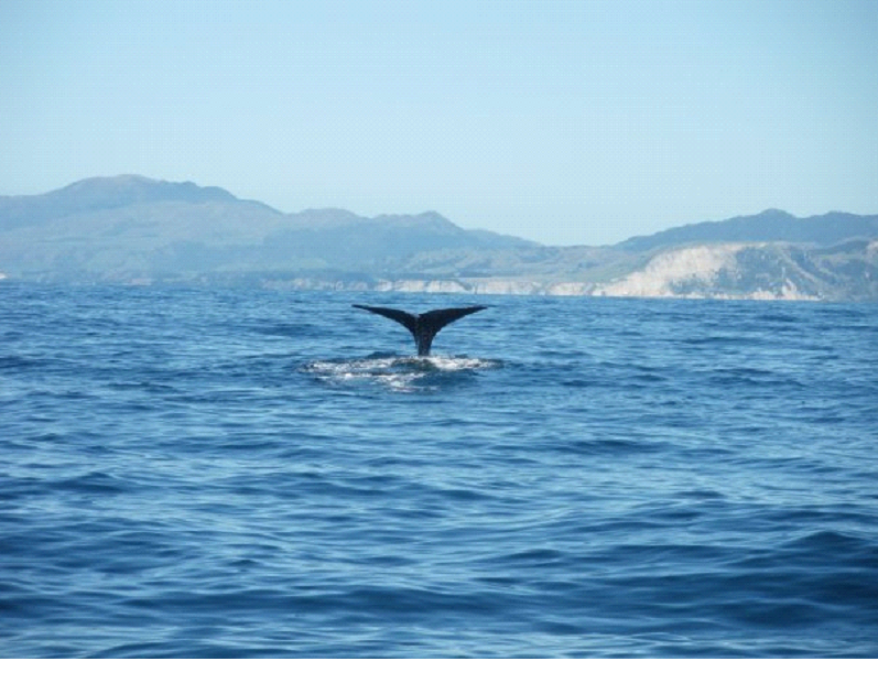
I think within the first half hour, we had our first sighting. The boat launched into high gear, and flew across the ocean to where the whale was.. Then they opened the doors, and we rushed out to get a glimpse of my first Sperm whale.. Here is a pic of him diving..
The next time we got a sighting, I took a short flick to give you an idea of the boat racing.. I missed a couple of the big jumps we made over the waves, but this gives you a bit of the idea..
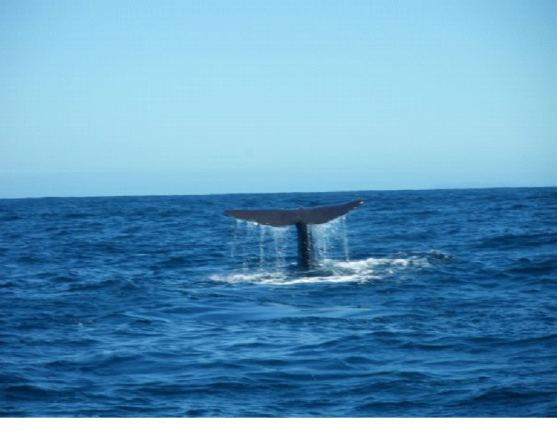
And here is the second Sperm whale diving..
While I took the still photo, Michelle videotaped it with the other camera (yes, we each had our own cameras for this tour!) :
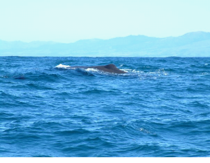
Here is a pic which gives you a bit of the feel for how huge Sperm whales are.. Just massive bodies swimming in the ocean…
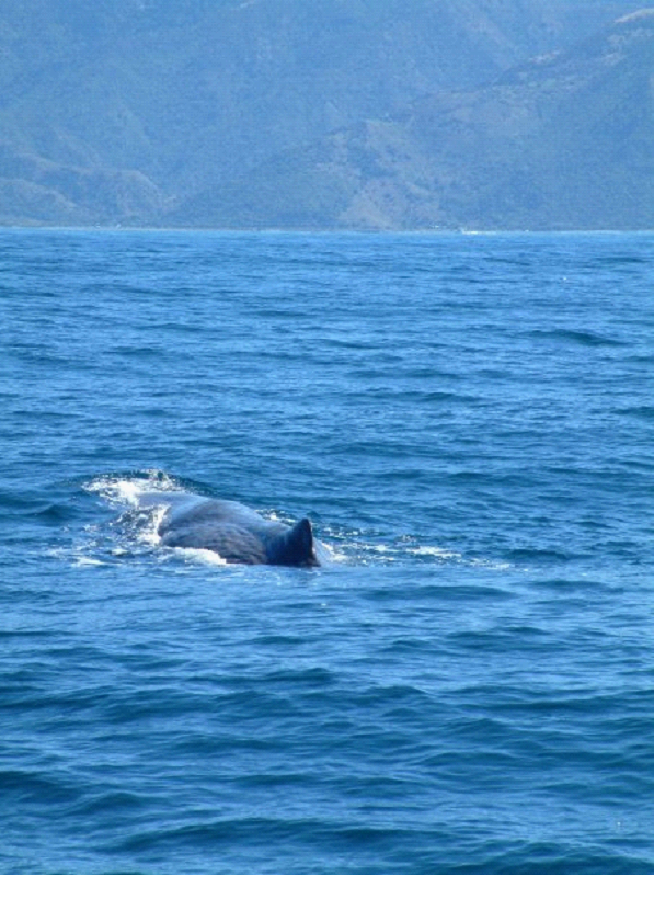
This pic gives you a view to their blubber.. The insulation that allows them to dive for about an hour in the freezing depths..
After about 4 sightings of 3 Sperm whales (the last sighting was the same whale as the first sighting – after he had come back to the surface from his dive which lasted over an hour) we started heading back..
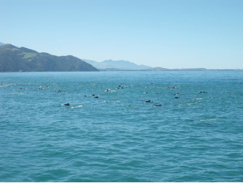
But then they spotted a huge pack of dusky dolphins – 400 or so apparently (we could see about 100, and they say for every 1 you can see, there are 3 under the surface)..
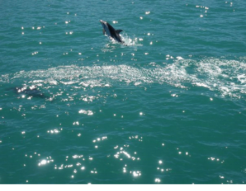
Here is one pic showing one of these little dudes launching up..
They were very ‘playful’.. You could see them jumping and doing flips in the air all over the place.. There were so many of them, I got the feeling I could walk across them to the shore…
Note that the flips aren’t actually them ‘playing’, but actually hunting.. They apparently hunt in packs, and while one guy goes up and splashes the surface, the others wait down below to feed on the fish that got scared down..
It was quite an amazing feeling to see these creatures.. All in the wild, in their natural habitat..
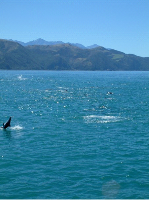
I just caught the landing of the flip in this one.. Notice the amazing background even.. It was a beautiful day, with wicked scenery..
Another group shot..
Sorry for the camera work on this one.. but a couple good flips caught here..
The number of dolphins was just amazing.. It really put the little pack of dolphins we had seen in Milford Sound to shame! (If you haven’t seen it, you can check out all the other days of our honeymoon in the drop down above (click on the name of the slate in the white text box next to my profile pic)
After the tour was over, we grabbed some souvenirs for the nieces, and planned out our flights home for a bit.
We also hit a Fudge factory where the guy makes tons of flavours… He just came back from vacation in the north island. The fudge was great, and he was very friendly.. Just a little shop down the street from the whale watch. Funny how the locals think a trip to the other New Zealand island is a vacation! We met a few like that.. And Australians who had never been to New Zealand.. crazy!
Once we were all sorted out, we headed for Christchurch, which was a much bigger city then we’d seen in a while.. We camped there for the night, ready to head back to the North Island tomorrow..
The day started off by waking up to a bird call that sounded like a door creaking. Was quite annoying, but got us up at about the right time.. Had some breakfast, then made our way to the Kayaking tour company..
We hopped into a bus, which brought us over to a launching area. The launching area was at low tide, so they took the water taxis out by tracker over the sand..
We took the “aqua taxi” from Marahau to Tobu then jumped into our kayaks and headed to Anchorage.
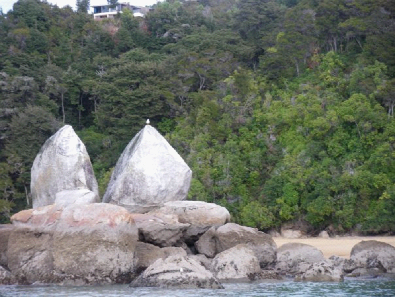
The taxi driver gave us a little info on the area, and stopped by the “apple rock”..
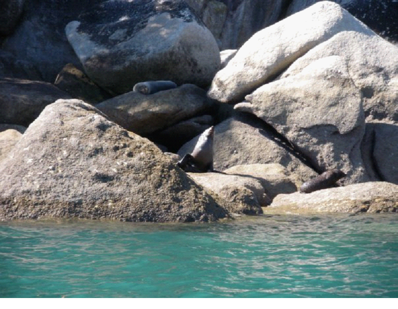
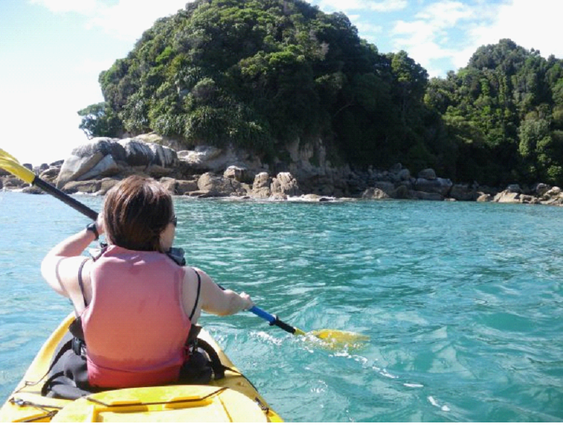
It was a beautiful sunny day, with slightly choppy seas… But great fun to Kayak in. We kayaked out to a little rock island to see some more seals…
Pretty much kayaked around that little island, then continued on..
It got wavy at times, to the point we were worried about tipping over.. With waves at times that rolled by with crests and valleys like 10 feet in height difference..
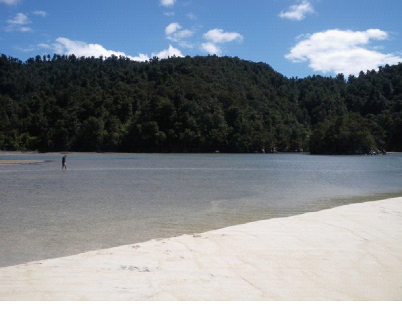
After a couple hours of kayaking along the shore and chatting with our guide, we stopped for a little picnic lunch at a little lagoon which was just starting to fill in as high tide was on it’s way.. This pic is looking into the lagoon, and me walking around:
This pic is looking the other way, out to sea.. The way we came, and went.
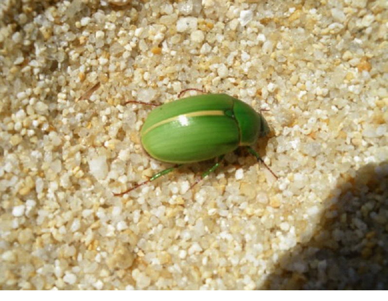
And a random shot of a bug on the beach (Mish was still practicing with the macro shots!):
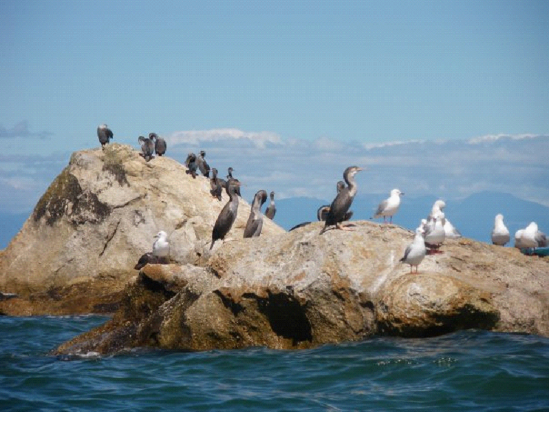
We didn’t mind relaxing on the beach for awhile, since it was quite tiring kayaking for a couple hours.. But eventually we had to head back out.. We passed by some populated rocks..
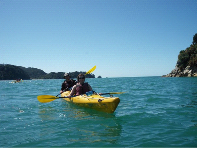
There were lots of beautiful views.. But of course it’s not so easy to take some pictures with your camera while kayaking ;).. Anyway, eventually we got to our destination (thankfully its a one-way trip!), and our guide was nice enough to take our pics (she would do so throughout the trip she said, but today the seas were a little too choppy)
When we hit the beach, it turned out there were a ton of tours that ended there.. Never seen so many Kayaks! Everyone was waiting for the water taxis, so we waited our turn for maybe half hour or so..
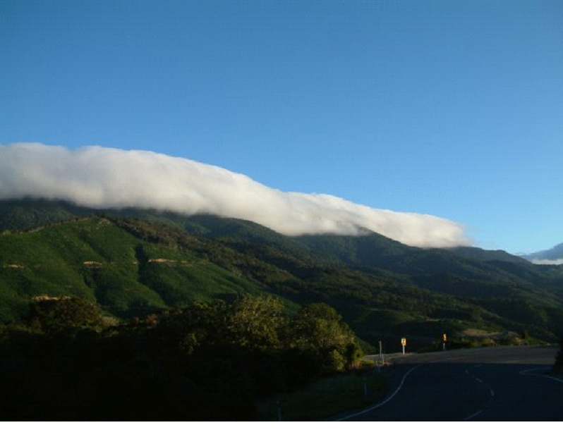
Then we got our aqua taxi back to Marahau, and drove out to Blenheim for the night. On the way, we passed by a little mountain that was being blanketed by a cloud.. It looked so nice Mish had to take a pic:
Another thing about the drive I remember, was that all around Motueka people have written their names and drawn pics with rocks on the low tide sands along the road.. I wish I took a couple pics of that! There were hundreds and hundreds of names and pictures.. Some small, and many large ones. Some of them would likely show up on Google Maps if they took the pic at that time..
We spent the night at Blenheim, which was close enough to Kaikoura so we could get to the Whale watch tour we had booked for tomorrow morning..
South Island Day 13 & 14 – Mapua, Pohara, Pupu Springs, Horseback Riding
Day 13
The weather was a bit iffy.. So we decided to just take our time and make our way close to where we would be horseback riding tomorrow. There would be lots to see on the way..
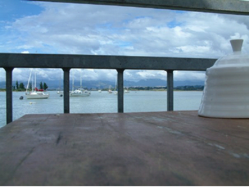
So we drove along the coast for a bit to a small town called Mapua, and had lunch on the wharf.. This is a shot from our lunch table..
It was a nice relaxing lunch, until we started getting eaten by the sand flies – luckily right when we were done.. So we got the heck out of the restaurant and started to move around to keep the bugs away..
The town is known as an artsy area, and the wharf was no exception.. there were plenty of art shops, so we strolled through a couple.. Mish bought some small artwork for her mom and other folks..
We hit the road again, along the coast to Motueka, just to check out the beach, a local pool, and scope out a possible place to stay for tomorrow… There was supposed to be some sort of shipwreck there too, but we didn’t see it..
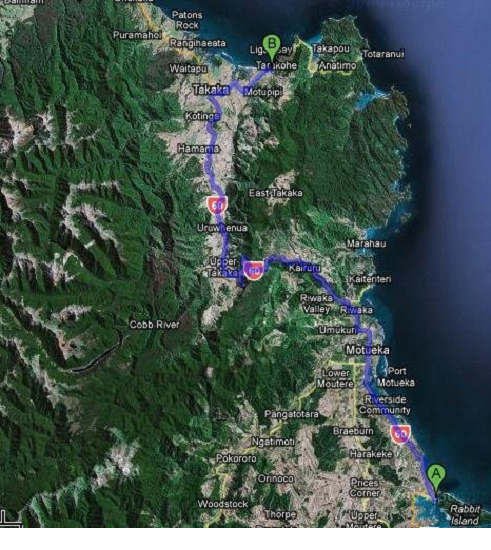
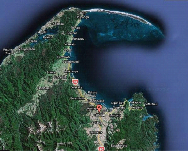
We continued on the road, across another mountain (Takaka hill) which had great valley views and a million zigs and zags. It runs along the edge of Abel Tasman (the upper right green corner of the map above, is a national park called Abel Tasman), which is where we were planning on sea kayaking in a couple days..
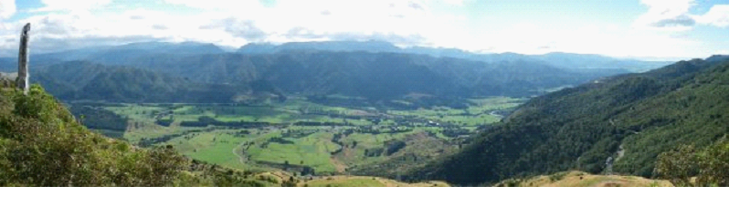
Here is a panoramic near the top of Takaka.. the road zig zags to the right, and eventually leads down to the valley..
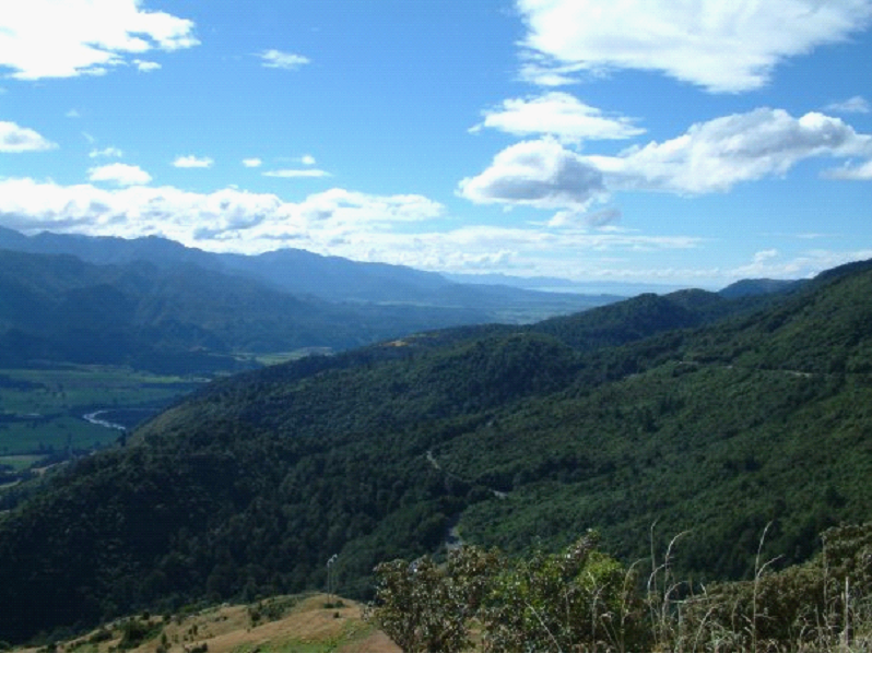
A closer look at the road ahead..
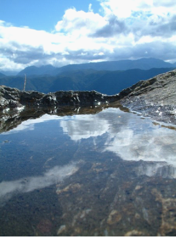
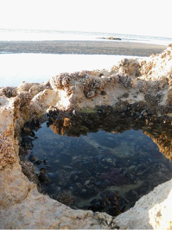
I took a quick shot in the same area.. and while the below pick looks like a big calm lake with mountains around it…
It’s actually just a puddle on a rock, with mountains in the background 😉 I put the camera right on the rock to take the pic..
So we made it to the campsite pretty early, found a spot there, and hung out on the beach (Pohara Beach).
I read on the beach until I couldn’t take the cold wind anymore.. While Mish wandered around the beach and took photos (she claimed it wasn’t do cold).. Maybe I was still wrapping up my little cold I had, but I was not warm! It actually seemed like when the sun was out, it was warm.. But I think there were only 2 clouds in the ski, and they just kept taking turns covering the sun..they seemed to speed to cover the sun, then stop until the next one got there. Very frustrating!
Here are some of Michelle’s pics:
Mish poked and prodded the sea cucumber a bit.. and took a video.. it moves slow, but if you look closely, you kinda see it’s ‘fat’ section moving..
She took a pick of me just before I left for the camper.. I look like an old man! I was facing the sun, with a towel to cover the wind, and I was still cold!
I went back to the camper, and she continued to take more pics for a bit..
When she finally came in, we had dinner, and played cards until the stars came out.
Day 14
Back to glorious sunshine thankfully..And today’s main goal: Horseback Riding!
But first a couple stops.. First, we stopped at The Grove, where limestone is shaped in-between huge trees and vines & roots..
Unfortunately, my Batteries died so no photos of some cool nature there. There were some very interestingly shaped rocks and trees handing on to them.. It was a beautiful spot.
I felt like I was in a Disney film for a bit, when a very friendly little bird danced around me for a while before we left. I thought for a sec it was going to perch on my shoulder!
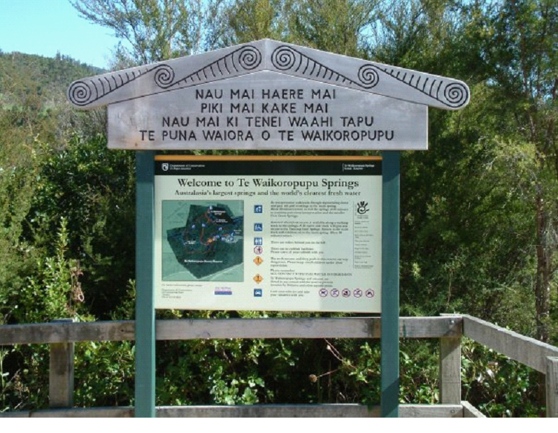
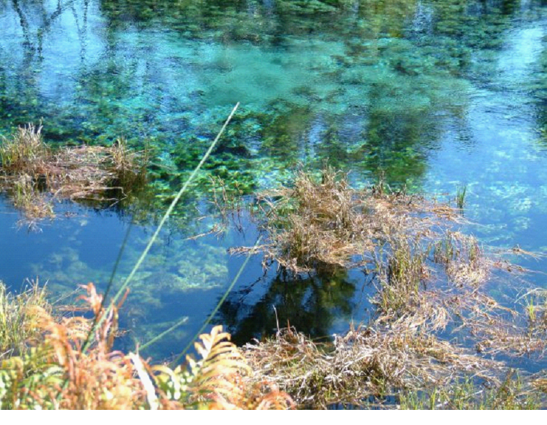
Then we stopped at Pupu (Te Waikoropupu) Springs… The “clearest fresh water in the world”.
Crystal clear and constantly gushing water from the geysers at the bottom of the ponds
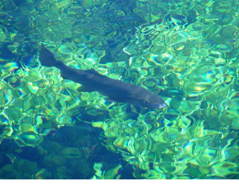
Fish swimming by were really easy to see..
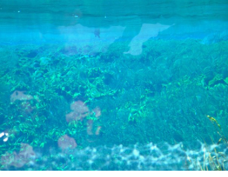
And they had a neat set up, where a couple mirrors where placed under water, so you could see the underwater action.. We watched a duck diving 50 feet away… You can make out the duck’s feet swimming on the surface in the photo below..(it’s a picture of the mirror)
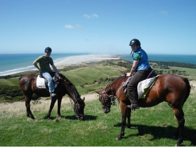
Then we made it to the Farewell Horse Riding, just in time to eat lunch before hopping on our rides. The guide was a friendly young guy from England if I remember right.. He was travelling around, and making cash as a guide.. Currently at this spot, near the Farewell Spit of New Zealand (the sand dunes at the top of this pic – the northern edge of the south island of NZ)..
The funny thing about the pic below (near the start of the trail), is that it kinda looks like I have a headless horse!
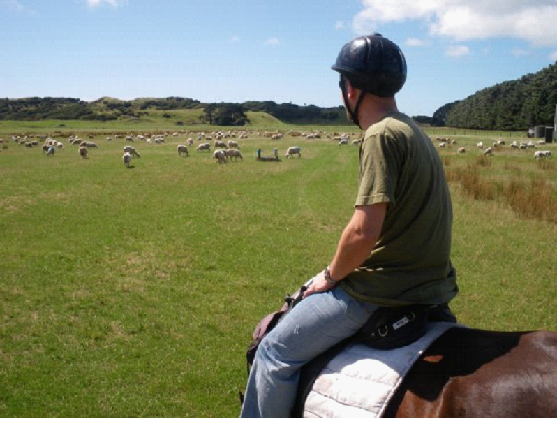
Mine was an old guy (22 yrs) who knew the deal… I only had to nudge him to get back on track or speed up a couple times. He definitely took advantage of my lack of experience, and ate grass constantly (apparently a no-no when riding)
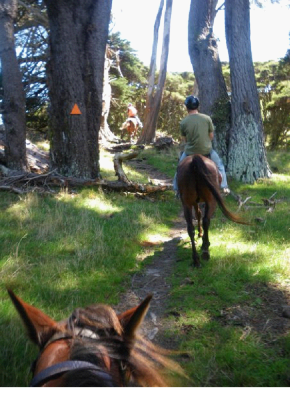
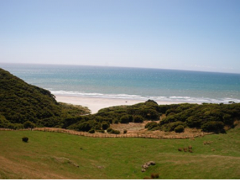
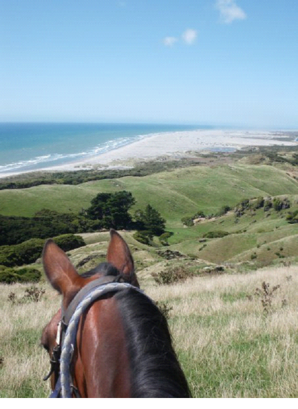
The pic above is about where the trail began to climb.. through a bit of forest. We continued to climb from that point, gaining more and more of a view, such as this one to the beach:
Actually, there were a few trails to choose from, which Mish had a hard time of, since she wanted to do them all.. A beach ride was one of them.. But we went for the hills and view..
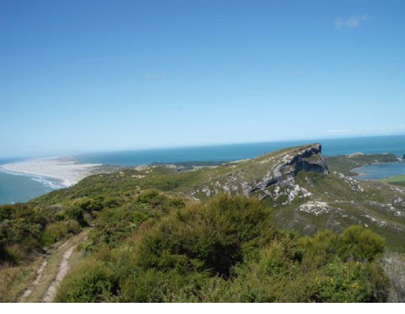
Once the climb was over, we had an amazing view of the Farwell Spit, and all around it really – 360 degrees atop some high hills and above Old Man Rock (a rock face which we could see back at the ranch..)
I took a pic from on the horse, of the spit:
At times on the trail, there were spots to speed up.. I learned the different speeds of a horse.. Trots were a pain to time (where the horse seems to be coming up, while you are coming back down), but the Canter was great fun… Gave me a feel for the power in these horses.. Gave me much more respect for the cowboys on western flicks..
This pic gives you an idea of the rock faces we were riding on top of.. And of course the amazing view..(Golden Bay is to the right)
I just wished Michelle’s horse was as fun as mine, but hers was a bit of a pain, and she had a hard time getting him to put effort into the trip. Lesson: Don’t tell them your partner is experienced – the experienced person gets a horse that’s hard to deal with!
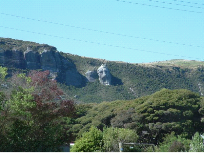
Once we were back, Mish took a pic of the Old Man Rock.. We were basically riding along the top of the mountain you see below. The pic is taken from about where we started (I think it was the entrance to the riding place actually)
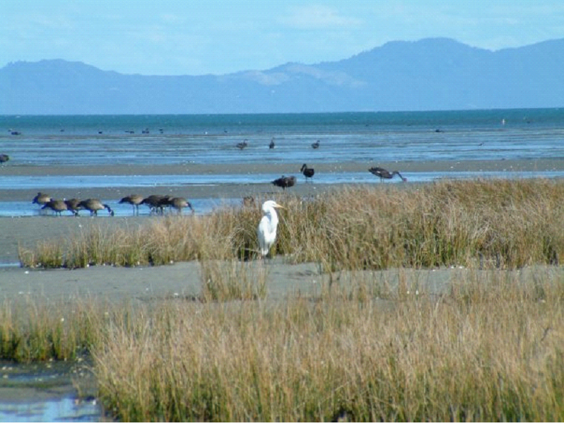
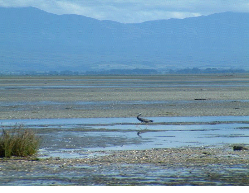
We drove for a bit along the Farwell Spit, but not all the way. Took a little walk on the beach, where there were hundreds of birds.. Geese, black swans, and all sorts of others..
The pic above is just a small area.. but as far as you could see up and down the beach, were swans and geese..
And King Fisher type looking ones..
After that, we headed back to Motueka for groceries and the night’s stay, as kayaking would be tomorrow’s adventure, and it started in Motueka in the morning!
South Island Day 11 & 12 – Arthur’s Pass, Punakaiki, Westport, Buller Gorge
Day 11
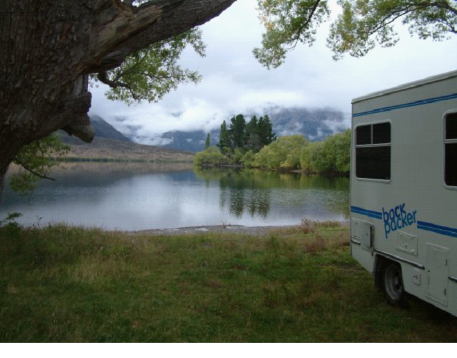
So as I mentioned in the previous post.. We had stayed the night at an amazing spot beside Lake Pearson.. Very picturesque..
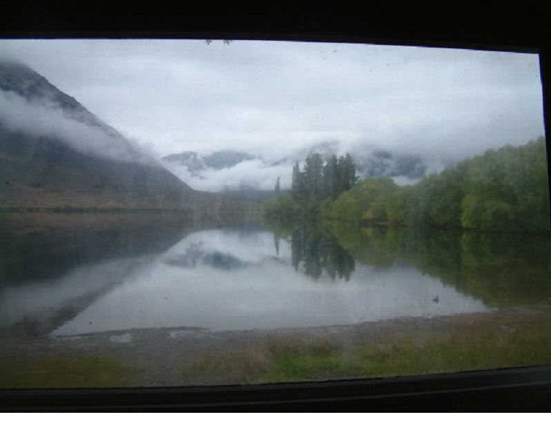
The window was pretty dirty, but I had to take a pic to show our view waking up and eating breakfast.. A duck even swam by (you can see it bottom right)
So anyway, once we got up (pretty early due to a lot of driving planned), we continued on towards our goal of Porter’s Pass (Michelle’s maiden name!)
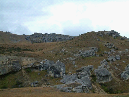
We stopped at a few sites of course along the way.. the first one being a little cave, in the middle of fields of boulders. Bouldering is a very common thing in this area.. Apparently a great place to hone your skills for rock climbing.. We saw a couple folks along the road walking with their mats.
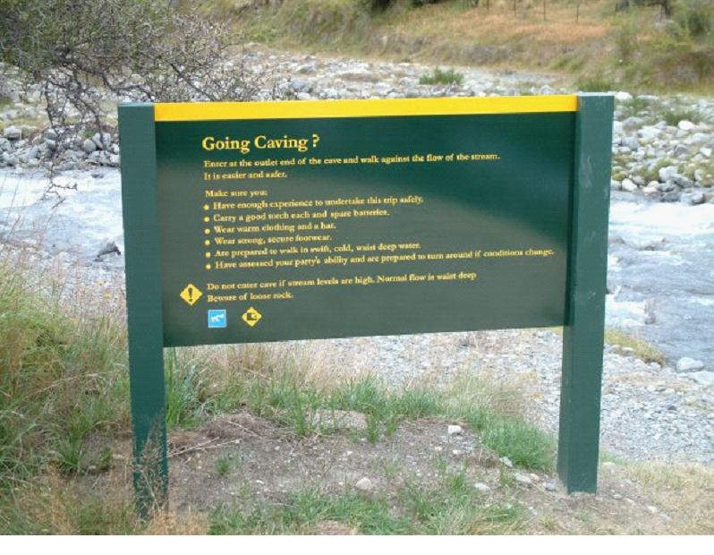
We walked towards the exit of the cave first, and came across a sign.. I was amazed this was the only thing around.. Anyone was welcome to go caving here – open to the public. Just some basic warnings..
A high school (or maybe older grade school) group came while we were walking back to the camper actually, all dressed in water suits going for a class trip through the cave.. That would be a great class trip!
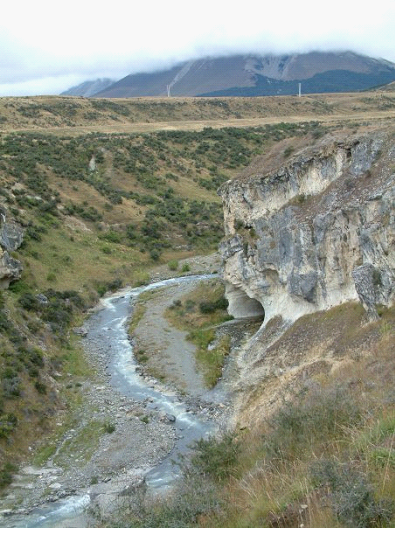
I checked out the exit a little.. I could see where the water fell out of site, there was a metal ladder built into the wall, so the caving was somewhat assisted.. I really wished I had some gear to walk it..
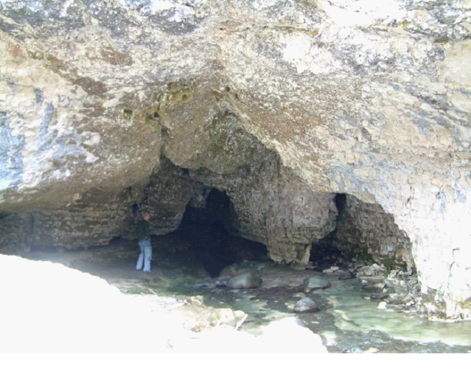
We walked to the entrance, but couldn’t get too close since you had to walk through the river first anyway.. The closest we got was just around the corner of the entrance you see below..
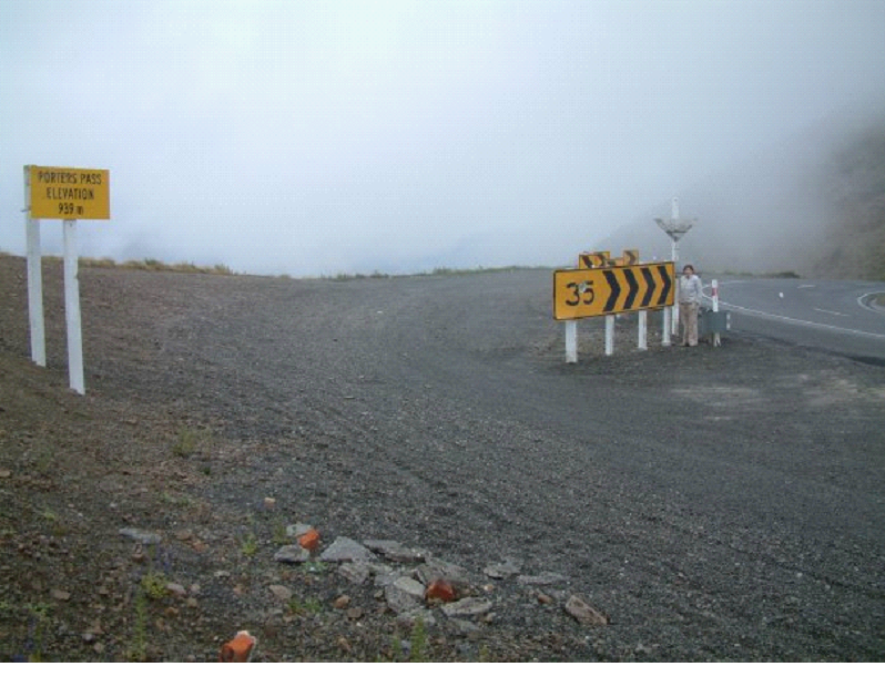
We continued on, and got some funny pics at Porter’s Pass.. The speed limit sign happened to match Michelle’s age 😉
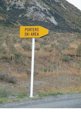
To Mish’s delight, there were all kinds of Porters stuff.. Ski Hills, Rivers, etc.. Here is another example:
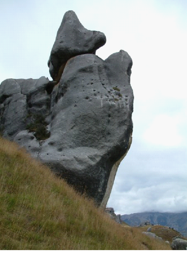
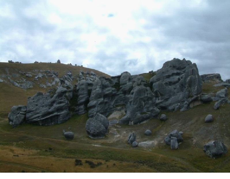
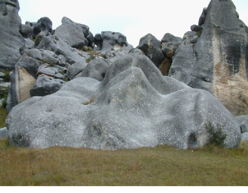
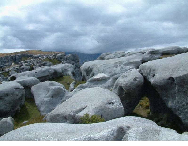
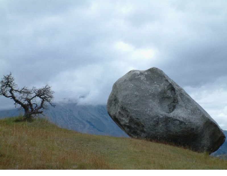
From that point, we turned around, and headed back towards HWY 6 along the coast, stopping at the spots we noted while heading here.. like Arthurs Pass and castle hill.. First was Castle Hill, with more great bouldering. It was actually an ancient Maori village area, since they could find shelter in the rock’s nooks and crannies..
Many of them took on shapes, like the one above as I’m sure you can see the begging dog..
The one below looked a little like a face coming out of the ground at certain angles..
The area was pretty big.. and the rocks are bigger then they look in these pics..
Mish took this one, which I really like:
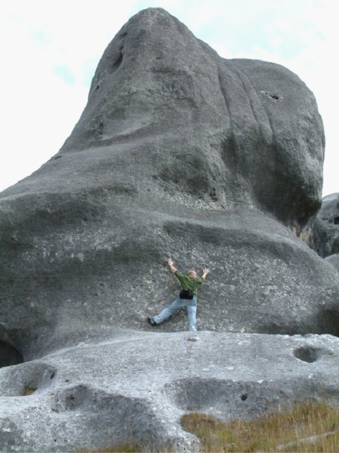
Here is one to try and give you some perspective of the size of some of them.. (I got heckled when I did this ‘fake climb’ by some guy walking by “That doesn’t look real at all man!”)
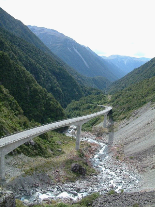
There was some great architecture.. including this bridge through part of Arthur’s pass..
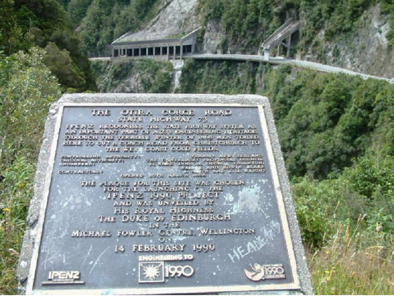
And some protective shelters for the road (one for common landslides, the other for a waterfall / stream)..
Through this drive, some of the rivers had a reddish moss growing on the rocks.. Looked kinda weird
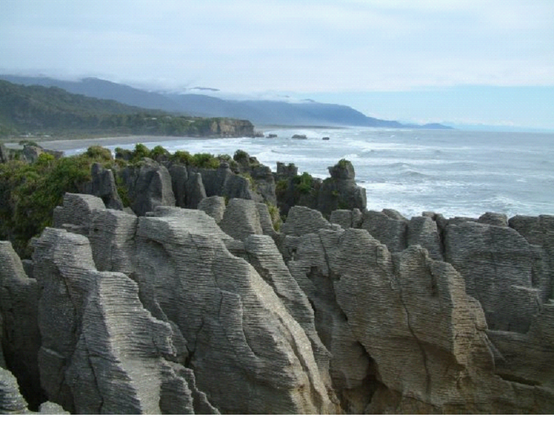
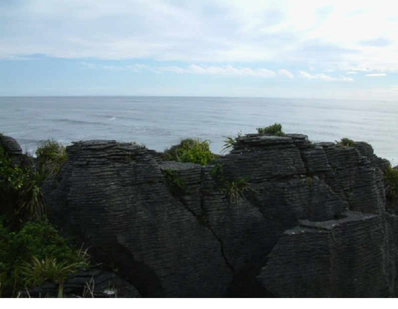
Once we got back to the coast, we drove up to the pancake rocks (Punakaiki), though we missed high tide, so no blow hole action (waves can sometimes splash up in-between these stacked rocks).
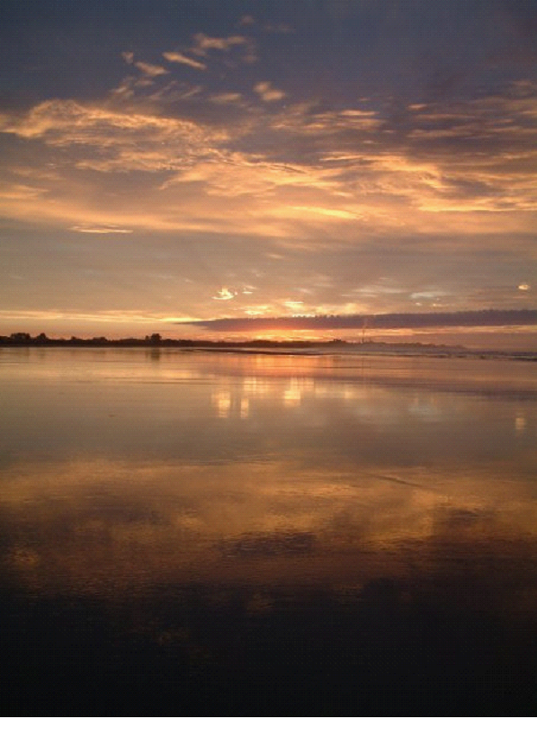
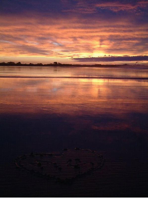
Once we got to Westport, we called it a night at a camp ground just across the road from a huge beach – Carter’s Beach.. So after dinner, we headed over, and watched the sunset.. It was a gorgeous one! I took a million photos, but I’m sure you’ll be happy to know I only posted a couple here..
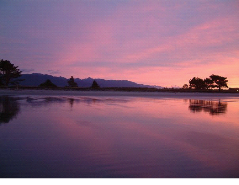
The tide was just changing, so it was leaving a great thin layer of water over a lot of the beach.. made for great mirror shots!
The pic below is looking back towards the campsite pretty much..
We heard it was looking like rain for the next couple days, so we weren’t sure how to handle that with our plans..
Day 12
It turned out the day was going to be a wet one.. So we had to postpone a couple of our plans.. We didn’t actually have anything left that was pre-booked until our last day whale watch, so our plans for horse riding, and sea kayaking were being threatened..
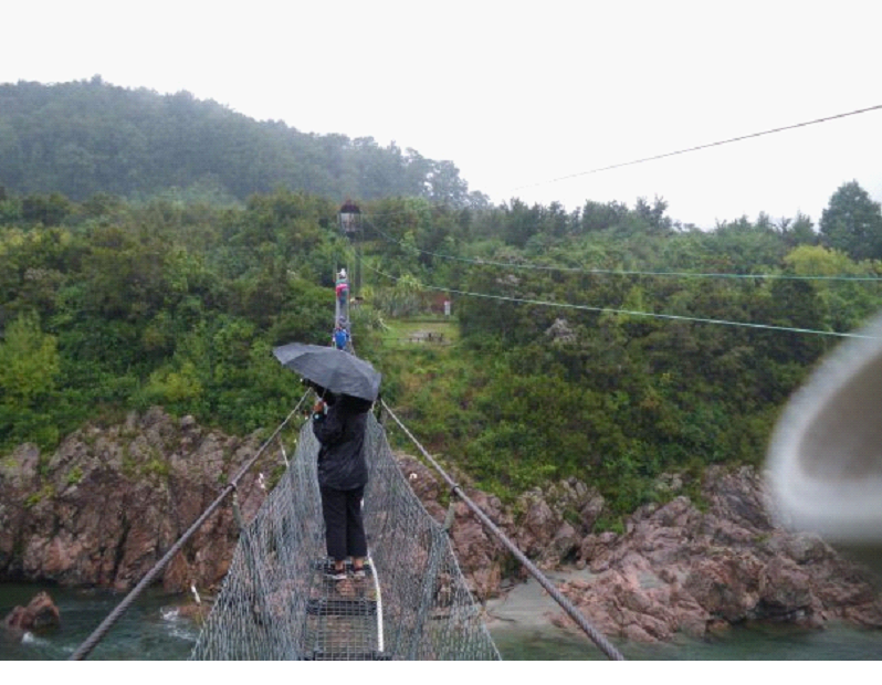
We hoped the rain would go away by the next day, so we planned to just drive towards where we were going to do some horse back riding. We drove north through Lyell, a semi ghost town, which had a near-by swing bridge.
I had a very tough time making it over the swing bridge (thanks to my fear of heights)! Mish went on ahead and tried to get people to stop coming over (it was really tight to fit two people), but they just kept coming.. I kept waiting for some space so I didn’t have to lean over the edge to let someone by.. But eventually, I had to suck it up and head across.
We opted for the zip line back… Which you can see the lines for on the right in this photo:
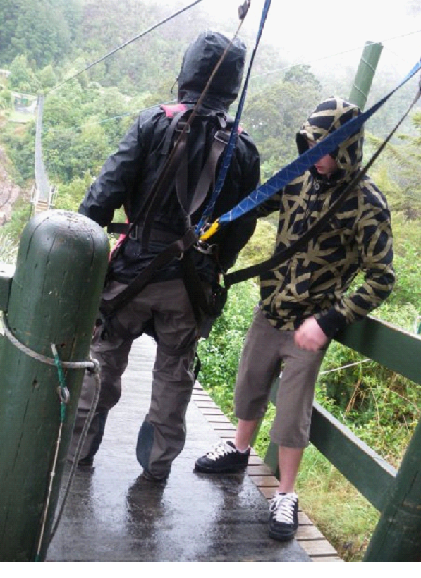
They call it the ‘supaman’ style… It was pretty fun, though easier then expected since you jump off the ledge over land and zip line across the gorge.. I was worried I would be jumping over the gorge.. Here I am getting suited up..
And here is a video taken by Mish before she headed across.. (Sorry its sideways.. turn your monitors on their side to see it straight! )
And here I am from the other side (they take a film of you)..
And here is Mish from the other side.. (she has a little more of a reaction then I did!)
We didn’t get enough of Queenstown, but at least we got a little taste of some adrenaline seeking!
We continued on to Nelson, and stayed at another beach front spot… The largest campground in the southern hemisphere? Maybe largest Holiday Park – Tahunanui Beach.
We went to dinner (Chinese) and a movie (he’s just not that into you) in Nelson. Lots of shops and cafes.. With the rain and all, it was just a relaxing time, and a little more urban then the last few days..
The next couple days would get us back into nature for sure!
So, since Mish and I aren’t morning folks, we didn’t wake up in time for the little Lake Matheson hike. It’s really just a short one that brings you around the lake, to give you a good mirror shot of the mountain and glacier.. But the day was a little cloudy anyway..
When we did wake up, we did drive out to take a quick look at the peaks again from the same spot as yesterday – not much different today… Hopefully the clouds clear a little for our Hike!
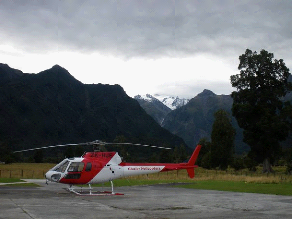
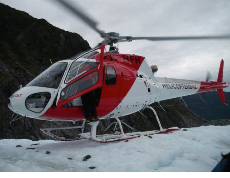
We headed over to the check-in for the Hike, which started off with a bus ride just about back to where we were taking photos that morning.. But, we pulled into a little helicopter pad instead, and got fitted with our gear. Mish and I had our hiking boots on, so we didn’t need to borrow theirs.. Thankfully! they looked stinky, and likely not nearly as comfortable and warm as our own. After a quick lesson regarding take-off and landing procedures around a helicopter, we were broken into groups (weight distributed), and headed out to the helipad.
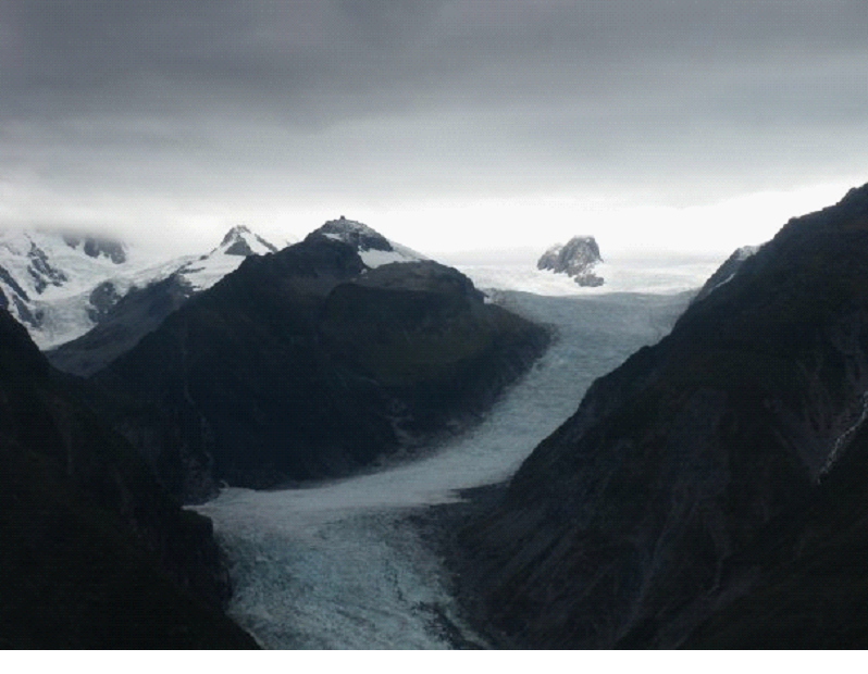
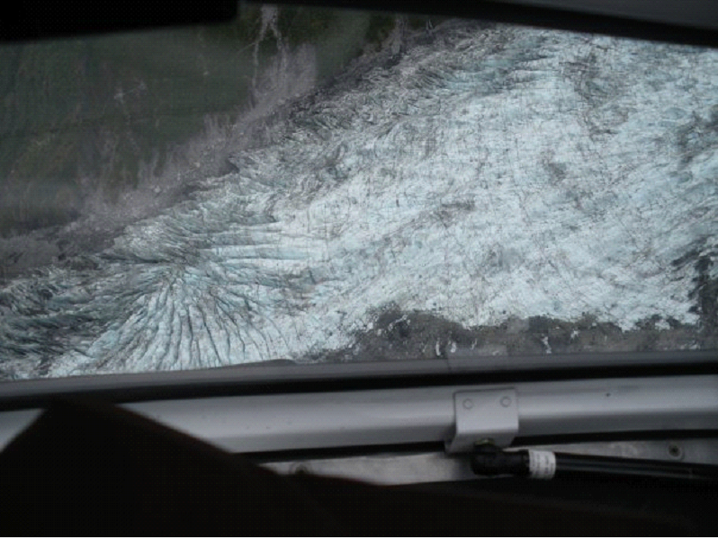
Mish got the front seat for the flight up (the chopper held 6 or 7 people) next to the pilot, so she took the photos for that ride.. It was my first helicopter experience – weird! It just doesn’t feel right to have no run at it.. just straight up like an elevator… It was a pretty quick trip, pretty far up the glacier, with just a couple nice turns to give us the feeling of a couple g’s.
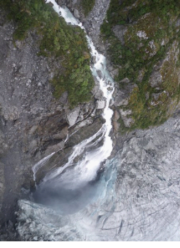
Took in a view from above of a waterfall on the side of the glacier, that was pouring into a dark blue abyss..
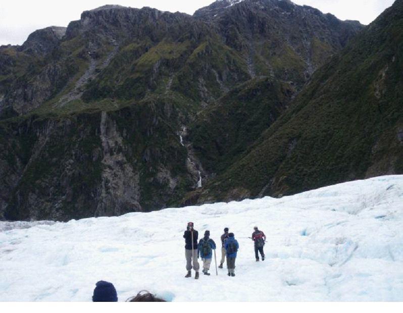
Once we landed, we waited to the side as 2 or 3 more laps were done to bring up a few more people in our tour.. Got our steel spikes strapped onto our boots for walking on the ice.. then started our hike..
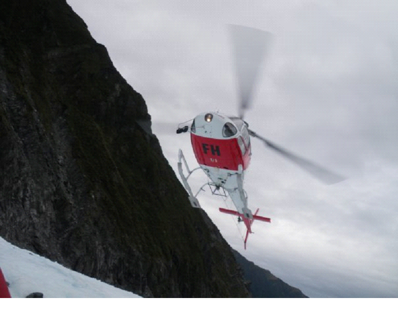
The bits of ice that were shot out when the chopper landed and took off were painful – everyone had to cover their face, else get pelted with ice pellets coming at you fast..
The guide was in short sleeves (not shorts – though other guides were in shorts) even though it was pretty cold out on the ice. He kept chopping up the ice to make it a little easier to walk on.. Chopping out stairs when we needed to climb or descend..
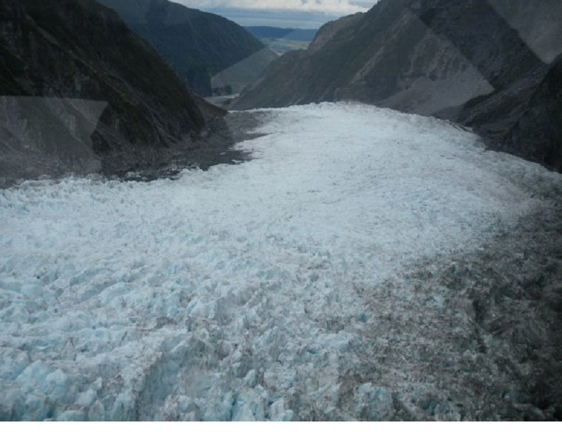
It was amazing stuff… A very slow moving river basically.. Apparently moving about a metre a day? Some years its receding, other years it expands.. Currently it was expanding.. All depends on the amount of snow fall at the top (a few miles up the mountain!).
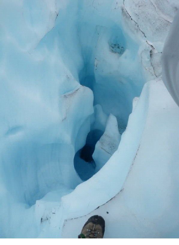
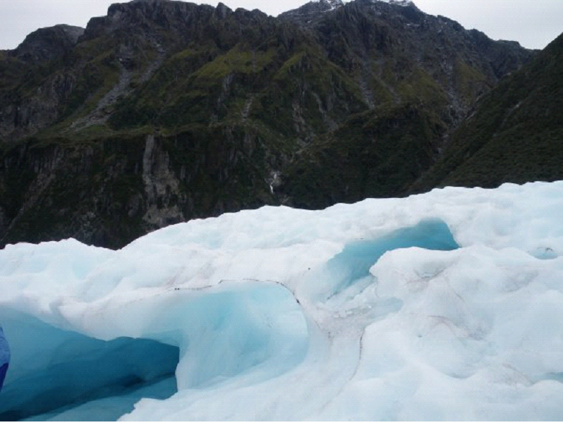
He mentioned that if you slipped through one of the ‘holes’ where the water ran down (like this one pictured here), you would be dead in minutes.. You would likely plug up the hole, have freezing water pour over you, and you’d be frozen very quickly. Though it happened maybe once, that someone fell through, made it right down to the river at the bottom, and came out the end still alive – though hypothermic, and barely alive. One of the folks in our group asked if he would help us if we fell in – like maybe throw us a rope or something, and he simply said ‘nope. It’d be a waste of time. I’d just leave ya’.. He had a dry sense of humour! 😉
We have literally waay too many photos of the glacier, so I am trying hard to narrow down to just a few on this page..
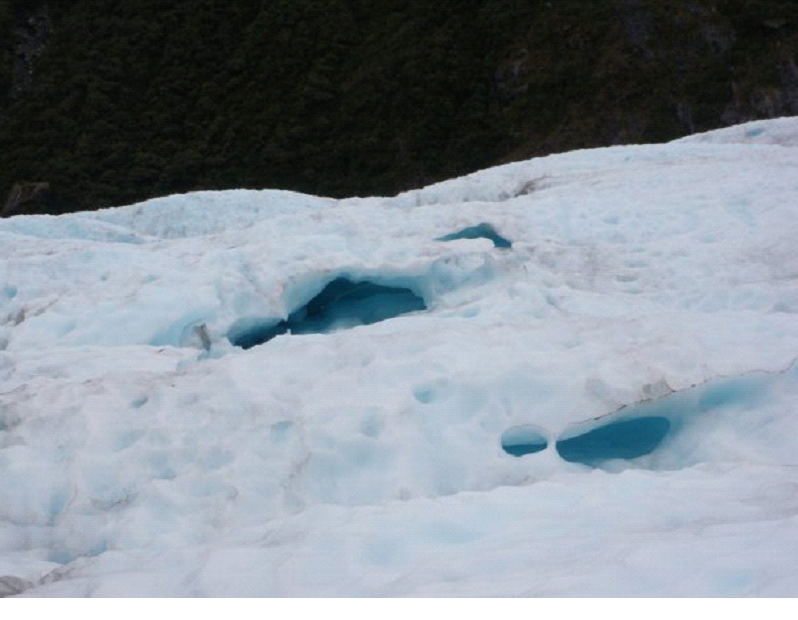
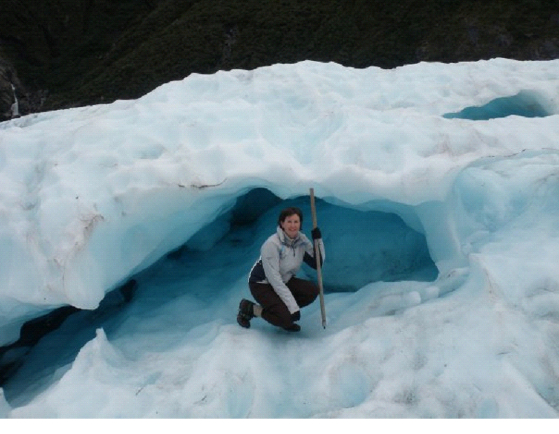
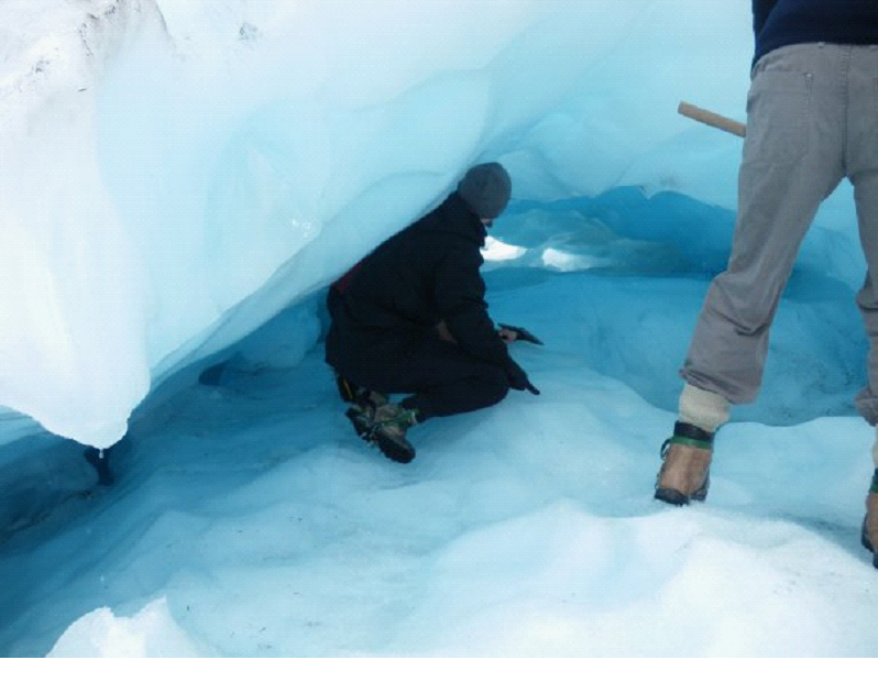
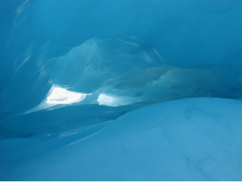
We weren’t lucky enough to find any crevices to squeeze through, or massive caves to walk into, but we did get a small cave that couldn’t quite be crawled all the way through. The guide crawled through, but it was very slippery, so he didn’t let us go too far in. Still an amazing sight though.
A slight unfortunate part of our tour was that we had some slightly elderly / not so agile folks in our tour.. So I think the guide didn’t take us to some of the trickier places.. There was one couple that kept slipping and falling.. even with the walking sticks and steel spikes..
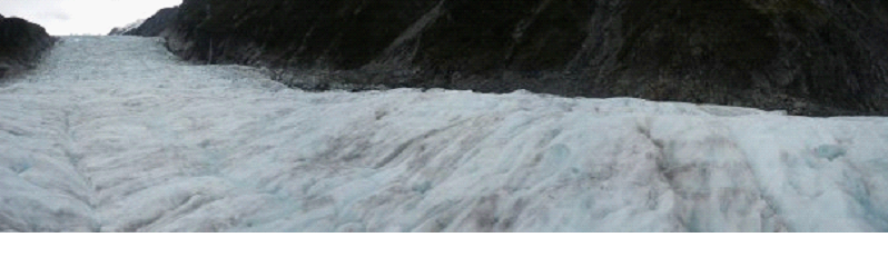
A panoramic from the top to the side..
After about 2 hours (that went by very very fast), we went back to the flattened spot of ice that was currently being used as the heli pad, and grabbed our lift back to the bottom of the mountain. I got the front seat on the way down, and took a short film..
Thanks to having a camper, we had lunch in the parking lot (made some sandwiches and salad), then continued to head north.
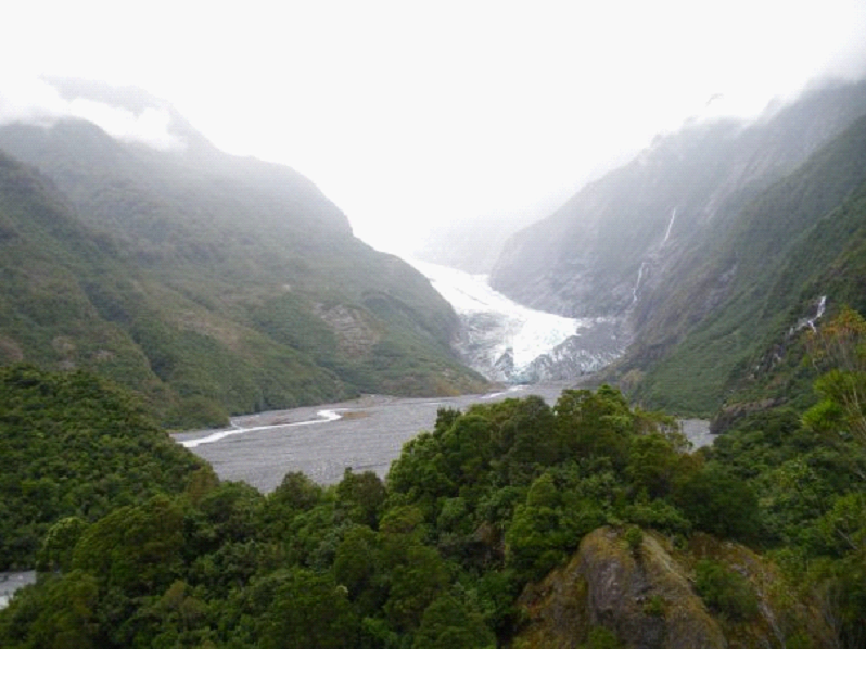
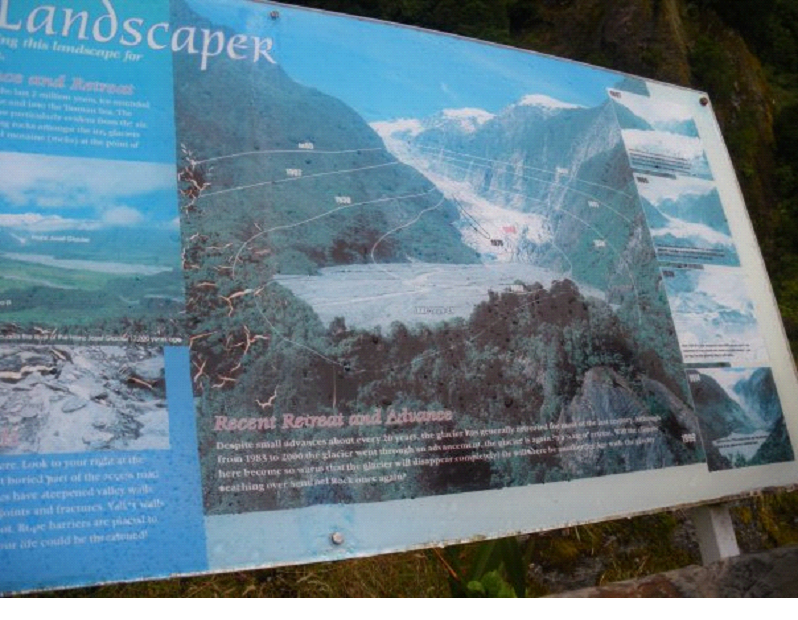
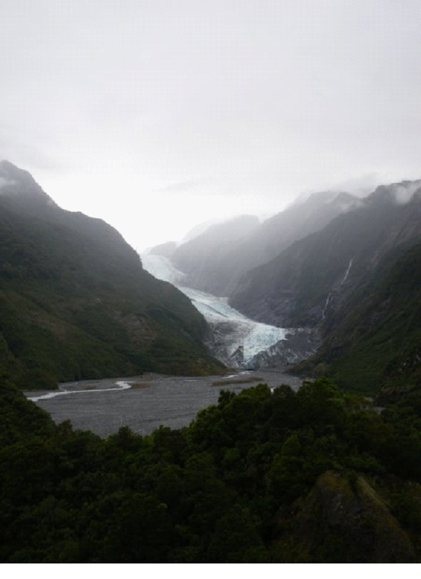
We stopped off at the second Glacier in the area – Franz Joseph. It’s actually the more popular one apparently – so I’m happy we did the heli hike at Fox. We did see distant other hiking groups on the glacier, but I wouldn’t say it was crowded up there at all. Apparently Franz is a little more crowded. Apparently it’s a different glacier too, being steeper, it apparently has more jagged climbs and stuff.. but Fox was great. So we didn’t actually go right up to Franz.. We did the “Sentinel rock walk” for a distant view.
If you look carefully, you can see the levels and the years the glacier was at that level..
Then we continued driving up the coast.. Getting the polite 2 beep thanks when we let folks pass us in the zig zags. Just about everyone was polite that way.. Oh and the possums.. Possum road kills were everywhere on this trip. You could tell they had a population problem. They were more common then squirrel road kills back home!
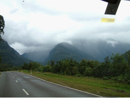
We headed inland a bit to check out Arthurs Pass, as it was supposed to be very beautiful, so even though it was out of our way, we wanted to get there. The rain was picking up again as we drove, but again, it was still beautiful. New Zealand in it’s natural state.
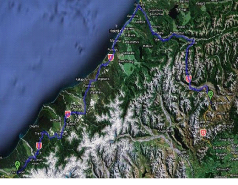
We decided to take photos on the return drive, so you’ll see them in ‘tomorrow’s slate’… But here is the route we took:
It was getting late before we got to the pass, so we spent the night at Lake Pearson… Great little spot for free, and only a couple others there. We went off roading a little with the camper, trying to get a remote spot.. But after nearly getting stuck trying to park, we didn’t want to chance it, so went back to the main area, and found a spot right on the shore. It was maybe the best spot I have ever parked and spent the night. The view out our camper window was inspiring.. And it was free! 😉
The pic above was actually the next morning, but I had to show it anyway.. A couple more will be in the next post..
We whipped up a great spaghetti with garlic bread, and some wine.. and feasted in this glorious spot. The bugs were still a little nuts, so we couldn’t do anything outside though.
When it got dark, it was Pitch black… I mean darker then I’ve ever experienced. It was a bit freaky really, and I bordered on panic attack just due to having no visibility when we turned out the lights to go to sleep. I was a little disoriented at times.. It didn’t matter if my eyes were open or closed – I could not see a single thing, no matter how close it was to my face.
Eventually I managed to pass out though, looking forward to seeing more mountainous landscapes, and then heading back to continue our drive up the coast.
We got up pretty early on our 9th day in New Zealand, to get on the road by 7 30am, since we planned to cover a lot of ground. The day wouldn’t be a total driving waste, since there were a few spots we planned on stopping at.. But the goal really was to cover ground.. I woke up with a bit of a cold definitely, but we were heading out of the damp cool area, and driving towards sunshine!
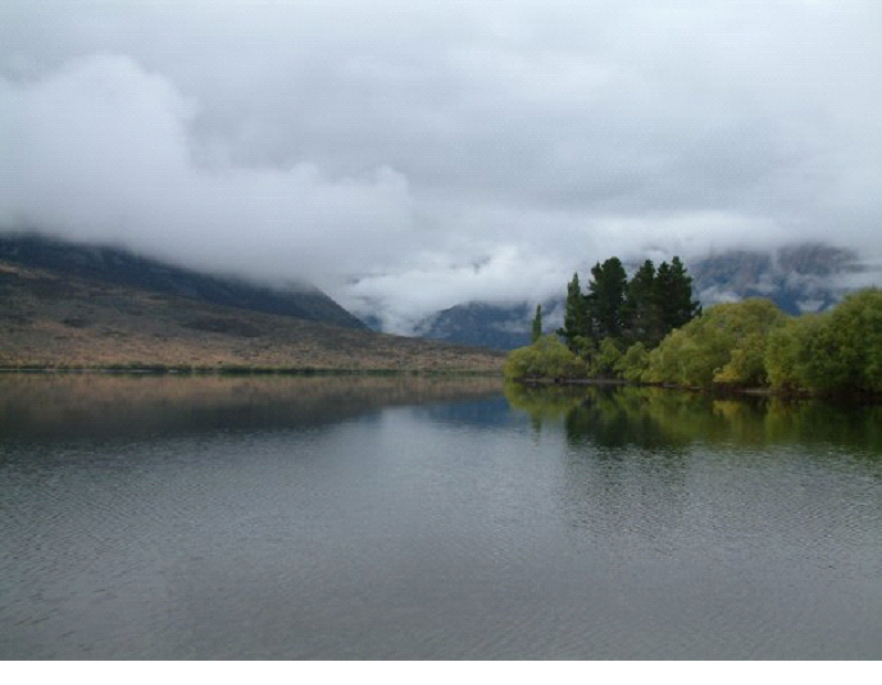
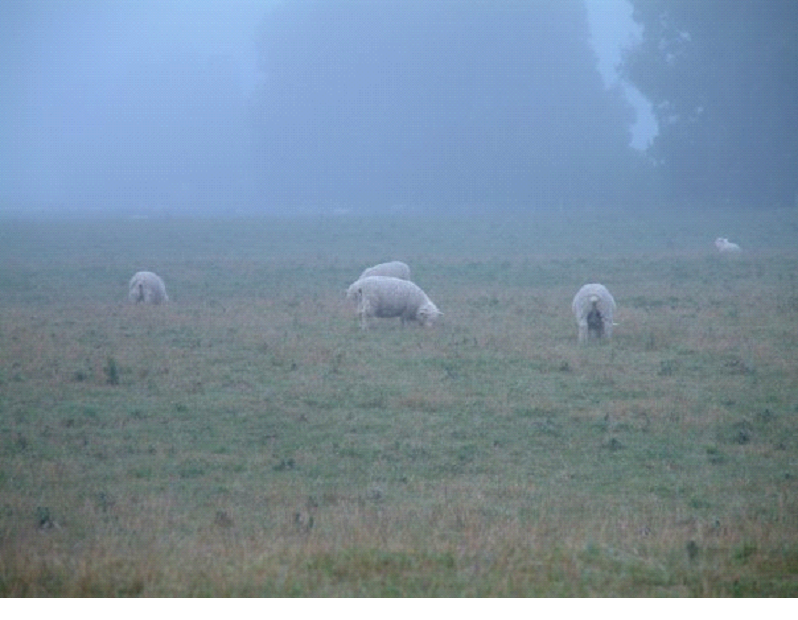
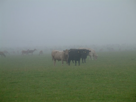
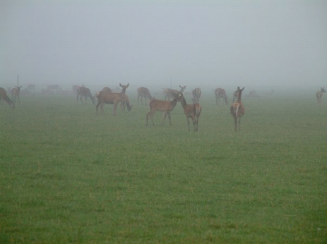
The misty morning gave us a couple nice shots of the farm lands.. Sheep, Sheep and more sheep.. Together with Deer farms and cows and horses..
It was a bit of a surprise to see all of them in the same field sometimes.. And I just couldn’t get used to seeing so many Deer.. Where I live, we see lots of wild deer – never really occurred to me that they would be farmed in some places..
The route was going to take us back up North, towards Frankton, then along a couple lakes to Haast Pass (to get through the Alps), then along the coast to our destination of Fox Glacier – depending on the timing..
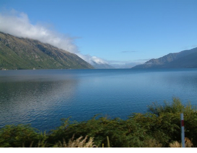
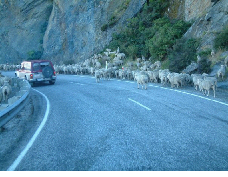
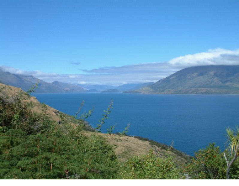
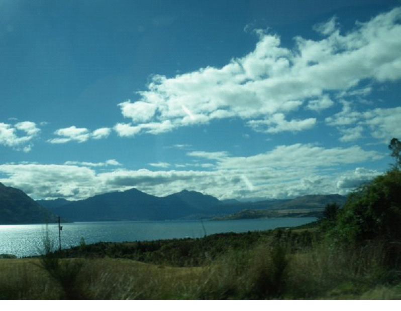
The above is a pic of Lake Wakatipu – we’d be driving along the right side of it.. Swerving in and out along the water.. At one point, a couple kilometers after seeing a sign referring to a shepherd herding his flock, we came across a road full of Sheep! They were walking along the road (the only route possible, since it was a mountain on the right, and a lake on the left.. A river of sheep.. But the folks in the pickup truck, which was carrying a few crazed dogs (going wild wanting to herd their flock), waved us on.. So we just drove slowly, and the sheep parted a path for us to drive through them.. Here is a pic after they parted, some jumping the guard rail, some getting up on the hill..
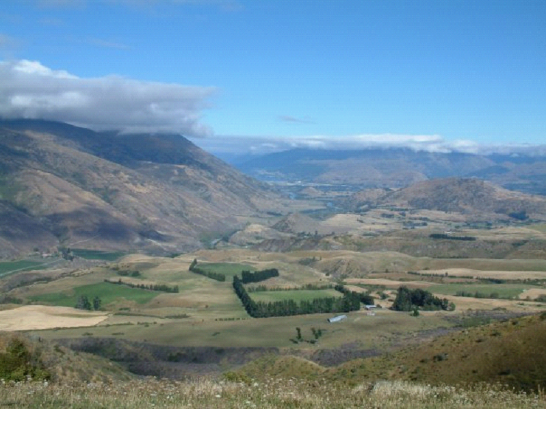
Once we hit Frankton, rather then take the faster highway, we took the scenic route, which brought us up over the hills rather then around them.. This is a look back from the way we came..
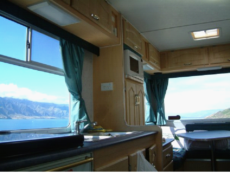
The scenic route brought us through Cardrona then Wanaka… Where I couldn’t get over the views.. Looking back in the camper while Mish drove, every window looked like a painting..
Here is a pic of Lake Wanaka, where we watched some stunt flying for a few minutes (Apparently one of the things you can buy a seat on in Queenstown – sit in the passenger seat while the pilot flips and spins ya)
We made a quick stop in Wanaka.. Where I must say, much like all over New Zealand, the public washrooms were great – very clean. We had a camper with a shower and toilet, but while it was a comfort to have that backup, New Zealand really made it easy to get by without them. Next time, we may just get a van with a bed and sink.
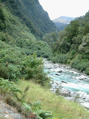
We followed the Makarora river into Haast Pass, making one stop for lunch along the river.. Where I gave way to my cold, and slept while Mish drove..
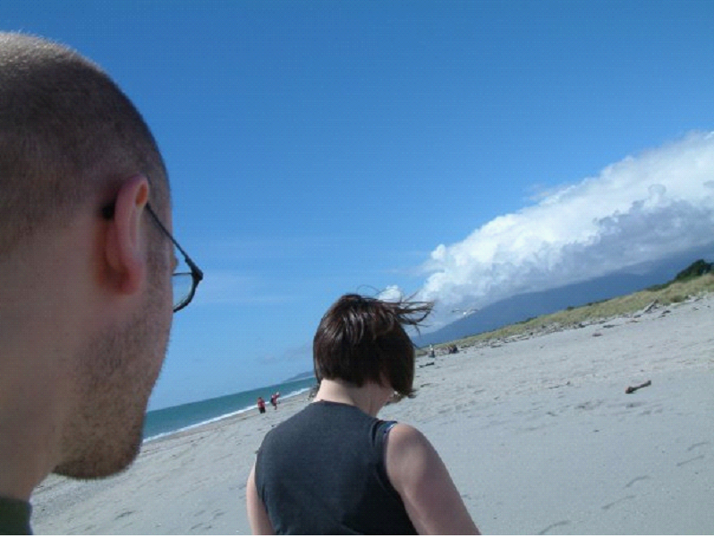
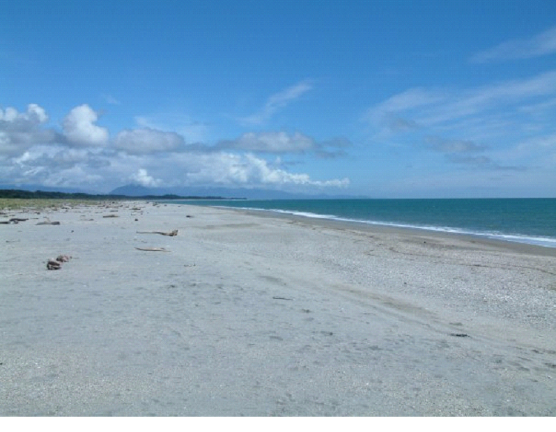
Once I woke up, we were on the other side of the mountains, looking out towards the ocean.. We stopped at Haast beach for a little stretch… Buggy but warm and sunny… Bit of a rocky beach… The sand flies were a bit fierce – and when I moved one of the beached logs, the swarm of bugs underneath that came jumping out made me jump! The birds thanked me though.
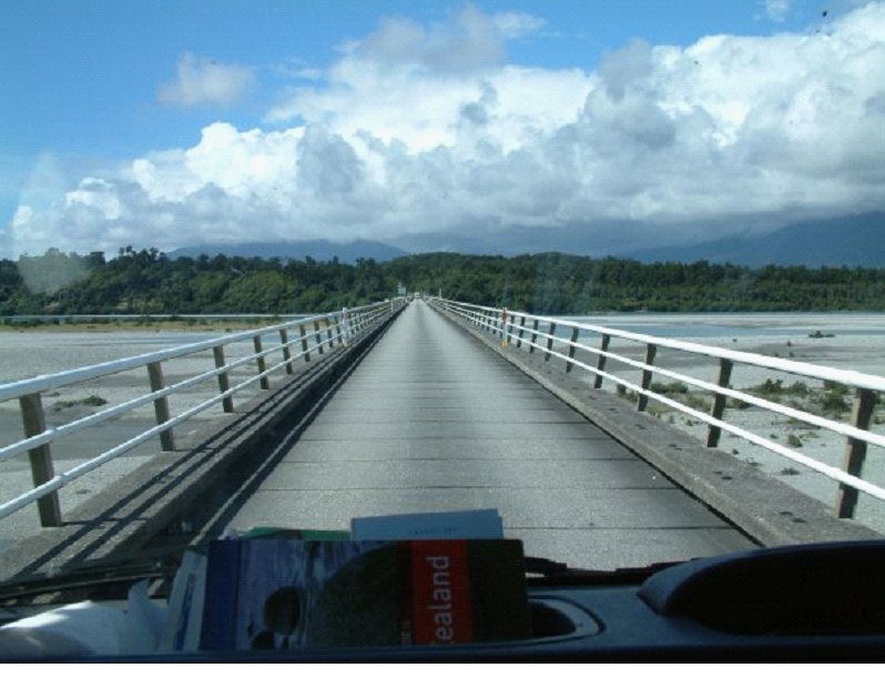
Leaving Haast beach, we headed through Haast Junction, and a one-way bridge that was very long.. had to play chicken with people to make it to the couple tiny little passing areas..
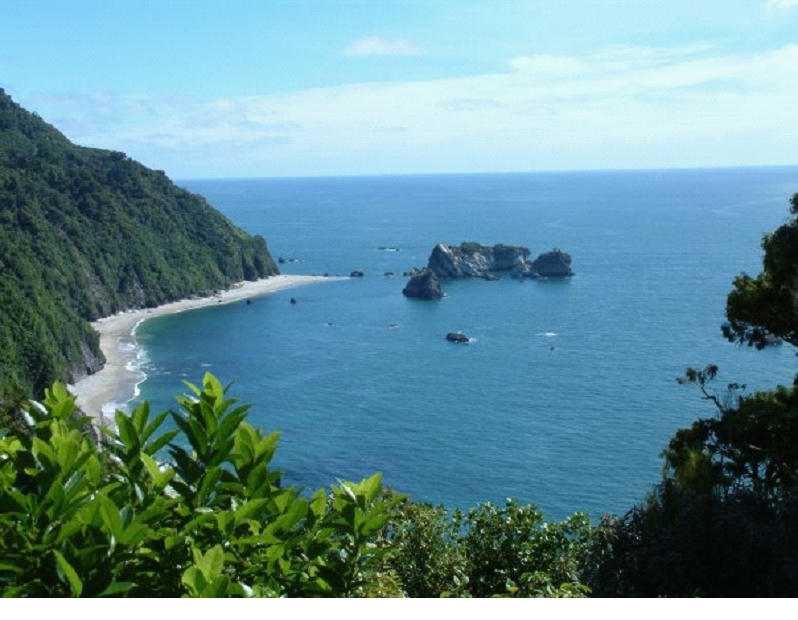
There were quite a few gorgeous little bays along the coast.. Another spectacular drive..
We heard of a few places where penguins frequent.. And since we didn’t have time to check out the main areas which are at the southern tip of the island, we decided to try our luck at a couple spots along the coast. The prime time to catch one on the beach is at dusk though.. So we didn’t get to see any.. Though the Monro beach walk was at least a break from the driving… Lots of bugs though once we got to the beach – way too many. It was fine as soon as you entered the bush.
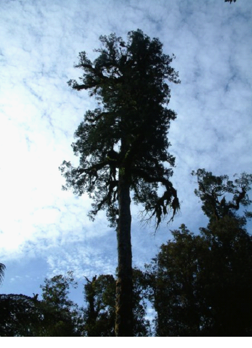
There were some big trees along the walk.. and at one point I nearly tumbled down into the forest from the walking path. I’m someone who rarely loses their balance, and pretty much never falls.. but when I slipped off the side of the trail, I was down in half a second, clutching the dirt to keep from sliding down into the depths..
We continued up the coast until we arrived at Fox Glacier..
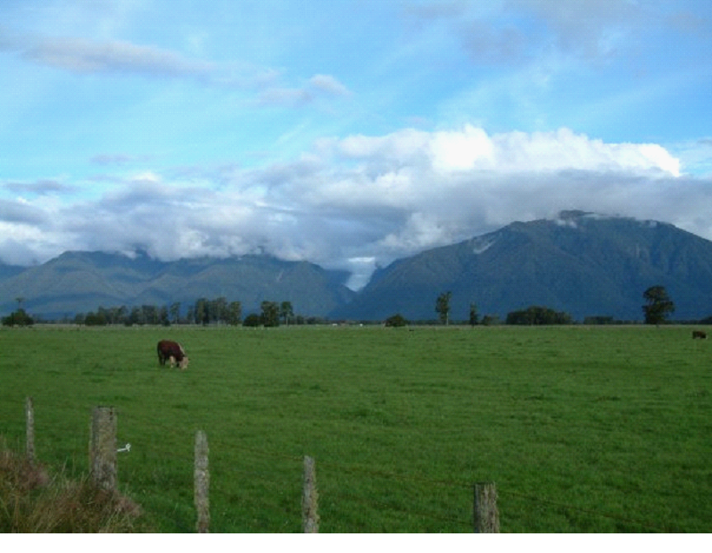
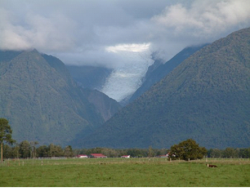
As you may get from the picture above, the first thing that struck me was that while here lies one of the world’s most accessible glaciers, and one of the most active, etc etc.. It’s barely commercialized. It’s basically surrounded by some farm lands, some homes, a little school, some restaurants, and a few tour companies.
We got a camper spot at Fox Glacier lodge, confirmed our heli hike for tomorrow, then quickly checked out a couple viewpoints. The clouds didn’t co-operate with us – and tomorrow was supposed to be cloudy as well.. So the photos aren’t the best unfortunately..
Lots of cows chatting it up at the Peak view – I had a brief conversation with them 😉
We had dinner at the Cafe Neve, which had good food but horrible service – got my food wrong, forgot to return with the corrected one, gave us the wrong bill, and forgot to bring me my second beer… It wasn’t busy at the time either.. I guess the waitresses at the time were new or something.
We hit the showers (which were the best yet)… Took in the view of the southern stars again.. Then hit the sack to be up in time for our Heli Hike onto the glacier!
Our third day hiking would be the shortest.. We had to make our way down to the Routeburn Shelter, along an almost constantly descending trail, on time to catch a couple buses back to our camper..
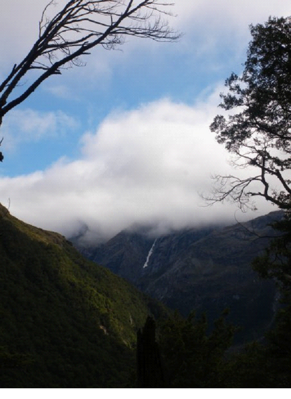
The morning started out with much more sun then we’d seen in the past couple days.. We stopped soon after setting out, on one of the ‘slips’ to rest, and take in the view… We watched clouds constantly forming on one mountain, roll over the next one, and disappear..
As we continued to descend, we were starting to see the Routeburn flats down below..
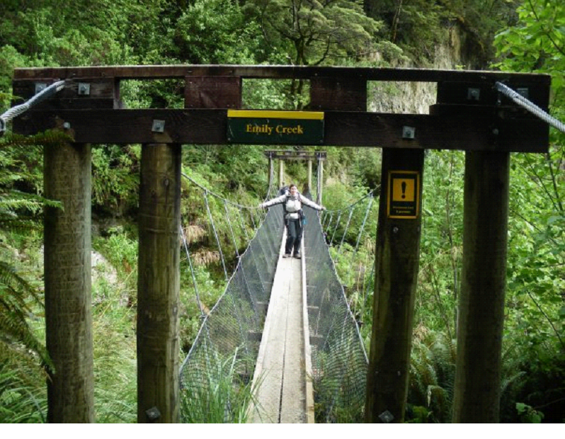
We crossed a few more bridges, each with a little warning as to how many people it could hole – 1, 2, 3 or in this case 4:
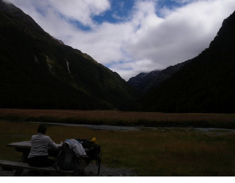
Once we got down to the Routeburn Flats hut, we had lunch in-between the mountains… We didn’t stay too long, as it was a pretty popular spot for blackflies (a.k.a sand flies)
We did see some nice birds, and talked to a couple folks passing through, before continuing on..
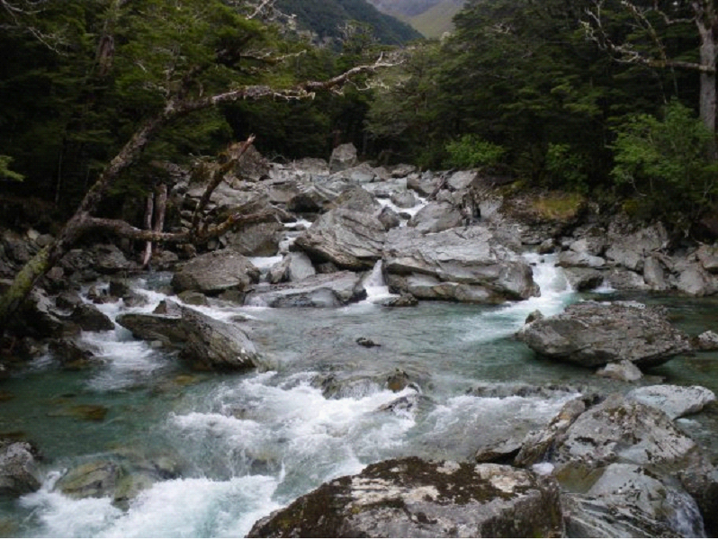
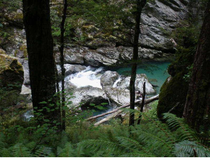
As we got to the bottom, the trail started following the river.. With wickedly blue water – crystal clear.
We passed a few kids groups heading the opposite way.. Not a bad day trip for kids – head up to the Routeburn Falls and back..
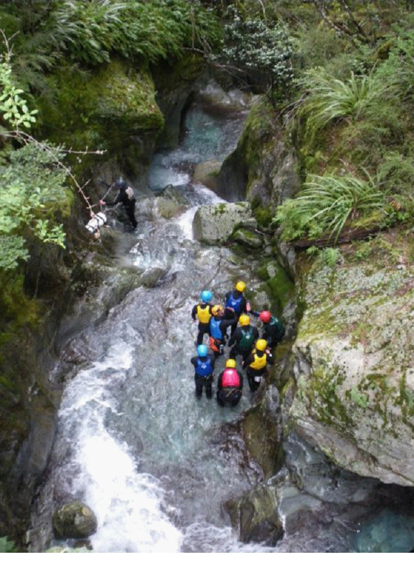
Near the end, we started getting back to civilization.. over one bridge there was a gathering, which turned out to be watching some canyoning going on.. We watched a guy jump down from about the height of the photo below, into a little pool along the canyon.. and then watched the group make there way down and out of sight. Looked like a fun, but scary little excursion..
We were getting a little nervous along the last stretch, as our time was getting short! But, in the end, we arrived at the end of the trail, with just 1 min to spare – catching the bus to glenorchy. The driver was actually calling our name just as we emerged from the forest. We sprayed our shoes (they are fighting an outbreak of algae that they don’t want spread between their waters)..
We hopped on the bus for Glenorchy, where we would catch our second bus to Queenstown, and then another bus back to Te Anau. All the bus rides drove through great scenic areas.. Here is a pic on the way to Glenorchy, through the bus window…
This is one point where our plans got a little screwed up.. I thought I had nearly an hour in Queenstown waiting for the bus, and so I was hoping to catch one or two of the adrenaline rush rides there.. But it turned out we barely had time to have a bite to eat. When we stopped in Glenorchy, the driver washed the bus, and ate up about half an hour, while we sat and waited.
Then to queenstown, a bustling city of adventure tours and crazy rides like the canyon swing, and of course bungee jumping (Queenstown is the birthplace of bungee jumping – so they are always trying to take it to the next level)..
But, just time for lunch, then grab the bus to Te Anau, along more beautiful turquoise lakes and mountains. All the wet weather may have gotten to me, as I was starting to feel a little sick, with a runny nose starting up, and low energy..
Once we got to the Lakeview Holiday Park, got the camper out of the ‘storage parking’, and got a spot for the night. The next day would be a lot of driving, so we just planned out our route, and took it easy for the evening, cooking up a real good meal which tasted extra good after 3 days in the wilderness!













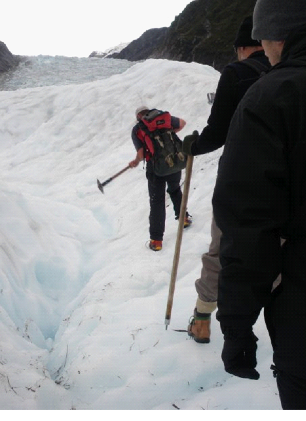
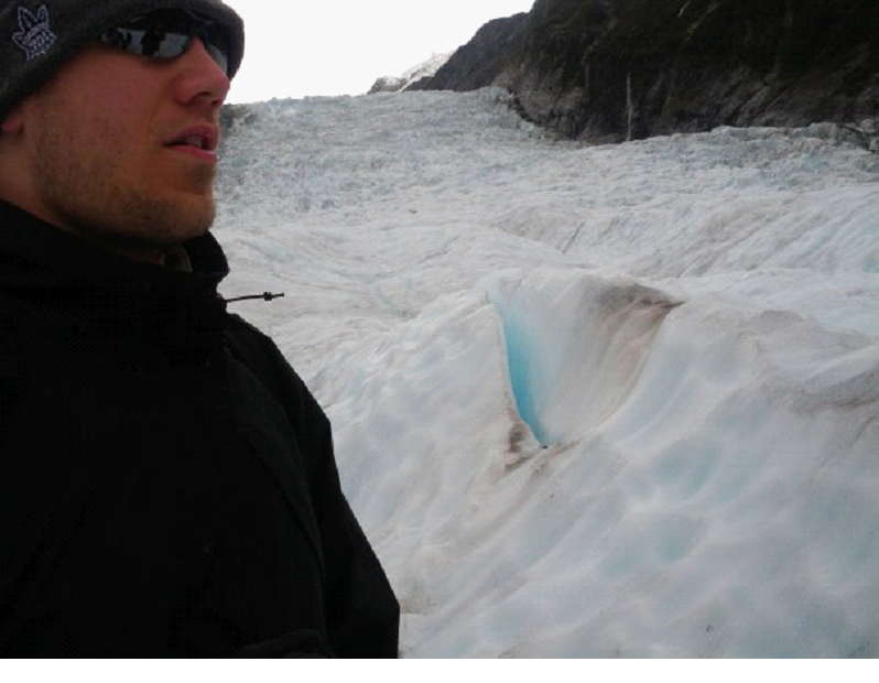
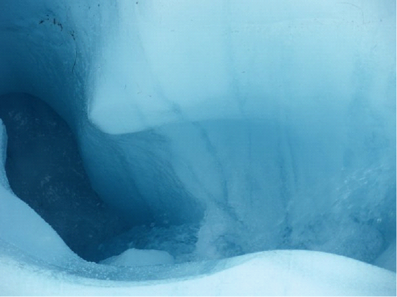 you would be dead in minutes.. You would likely plug up the hole, have freezing water pour over you, and you’d be frozen very quickly. Though it happened maybe once, that someone fell through, made it right down to the river at the bottom, and came out the end still alive – though hypothermic, and barely alive. One of the folks in our group asked if he would help us if we fell in – like maybe throw us a rope or something, and he simply said ‘nope. It’d be a waste of time. I’d just leave ya’.. He had a dry sense of humour! 😉