Our Honeymoon blog: Day 8

South Island Day 8 – Routeburn Hike Day 3

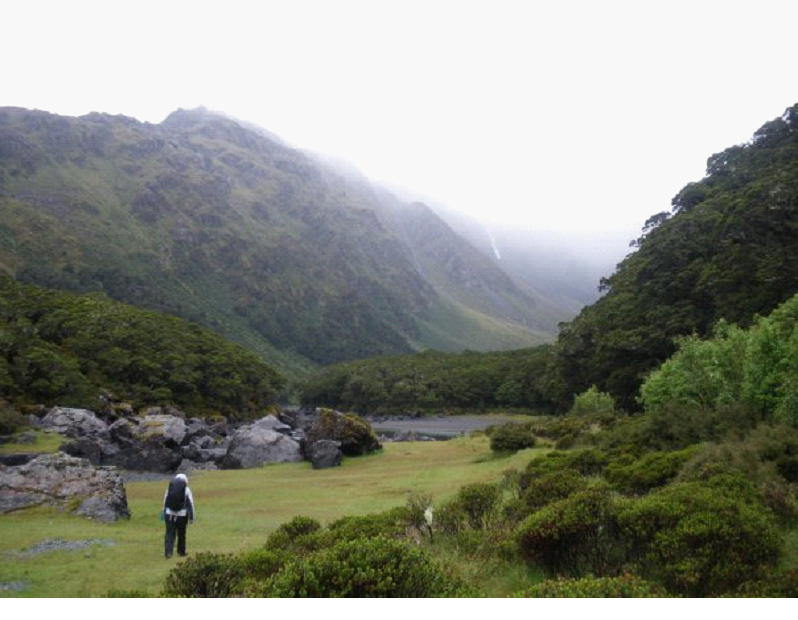
Our third day hiking would be the shortest.. We had to make our way down to the Routeburn Shelter, along an almost constantly descending trail, on time to catch a couple buses back to our camper..

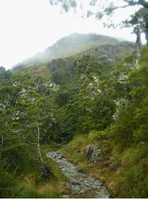
The morning started out with much more sun then we’d seen in the past couple days.. We stopped soon after setting out, on one of the ‘slips’ to rest, and take in the view… We watched clouds constantly forming on one mountain, roll over the next one, and disappear..
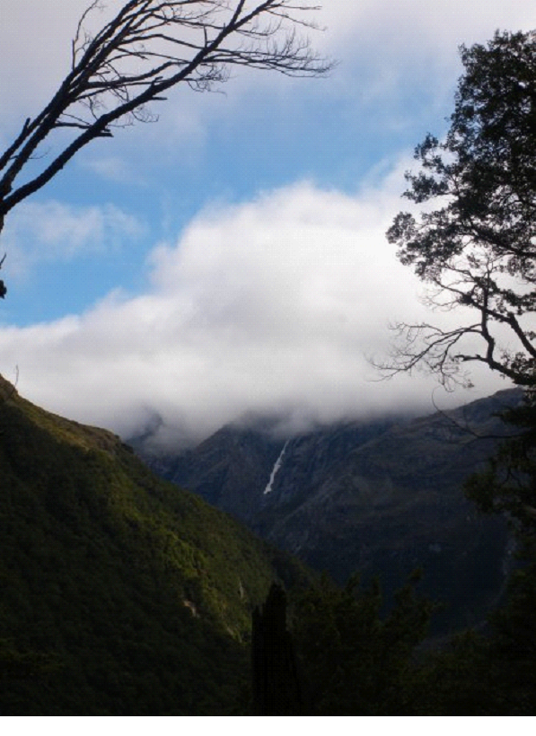


As we continued to descend, we were starting to see the Routeburn flats down below..


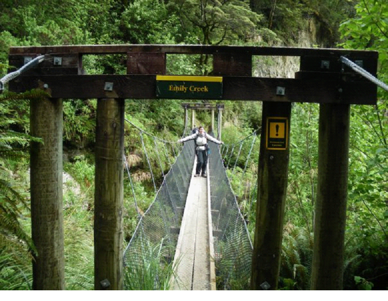
We crossed a few more bridges, each with a little warning as to how many people it could hole – 1, 2, 3 or in this case 4:

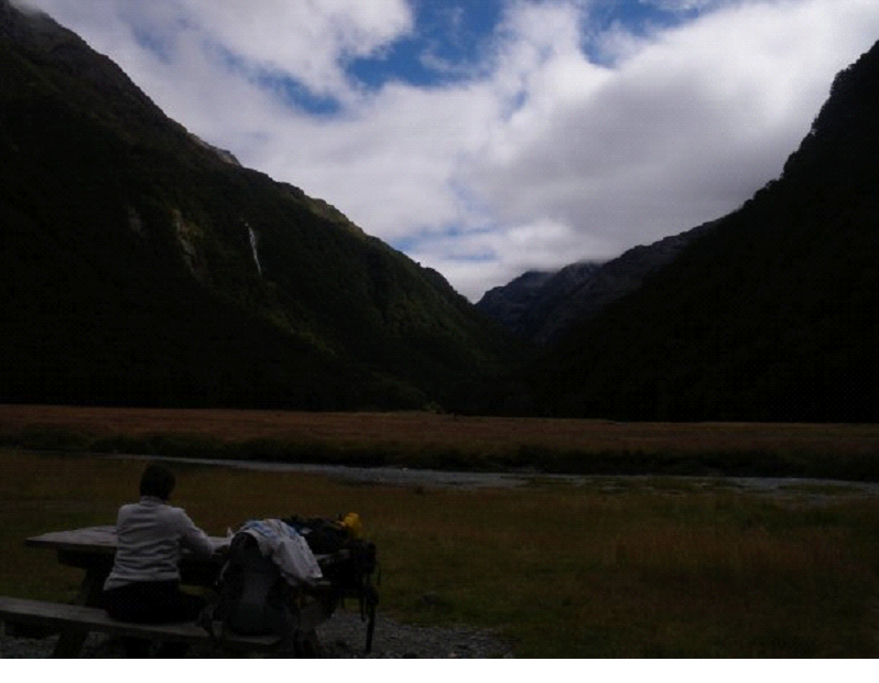
Once we got down to the Routeburn Flats hut, we had lunch in-between the mountains… We didn’t stay too long, as it was a pretty popular spot for blackflies (a.k.a sand flies)

We did see some nice birds, and talked to a couple folks passing through, before continuing on..
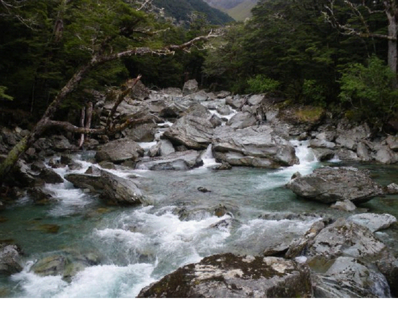

As we got to the bottom, the trail started following the river.. With wickedly blue water – crystal clear.

We passed a few kids groups heading the opposite way.. Not a bad day trip for kids – head up to the Routeburn Falls and back..
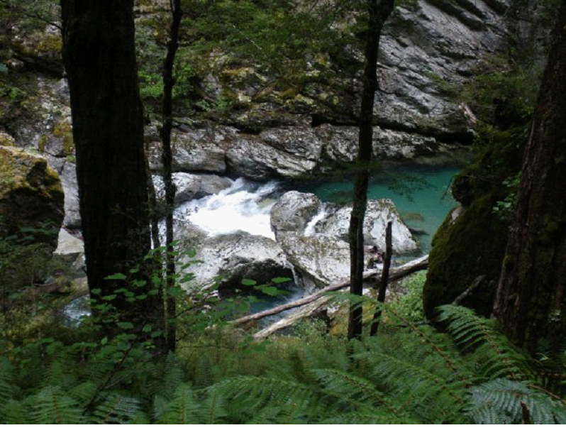

Near the end, we started getting back to civilization.. over one bridge there was a gathering, which turned out to be watching some canyoning going on.. We watched a guy jump down from about the height of the photo below, into a little pool along the canyon.. and then watched the group make there way down and out of sight. Looked like a fun, but scary little excursion..
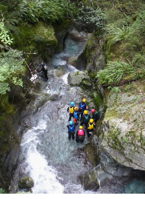

We were getting a little nervous along the last stretch, as our time was getting short! But, in the end, we arrived at the end of the trail, with just 1 min to spare – catching the bus to glenorchy. The driver was actually calling our name just as we emerged from the forest. We sprayed our shoes (they are fighting an outbreak of algae that they don’t want spread between their waters)..

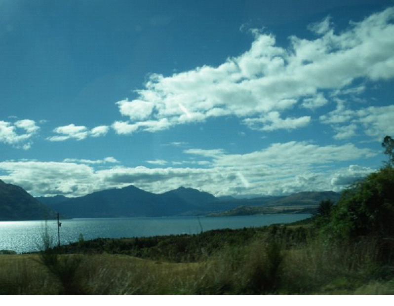
We hopped on the bus for Glenorchy, where we would catch our second bus to Queenstown, and then another bus back to Te Anau. All the bus rides drove through great scenic areas.. Here is a pic on the way to Glenorchy, through the bus window…

This is one point where our plans got a little screwed up.. I thought I had nearly an hour in Queenstown waiting for the bus, and so I was hoping to catch one or two of the adrenaline rush rides there.. But it turned out we barely had time to have a bite to eat. When we stopped in Glenorchy, the driver washed the bus, and ate up about half an hour, while we sat and waited.

Then to queenstown, a bustling city of adventure tours and crazy rides like the canyon swing, and of course bungee jumping (Queenstown is the birthplace of bungee jumping – so they are always trying to take it to the next level)..

But, just time for lunch, then grab the bus to Te Anau, along more beautiful turquoise lakes and mountains. All the wet weather may have gotten to me, as I was starting to feel a little sick, with a  runny nose starting up, and low energy..

Once we got to the Lakeview Holiday Park, got the camper out of the ‘storage parking’, and got a spot for the night. The next day would be a lot of driving, so we just planned out our route, and took it easy for the evening, cooking up a real good meal which tasted extra good after 3 days in the wilderness!
Our Honeymoon blog: Day 7

South Island Day 7 – Routeburn Hike Day 2

We didn’t plan on waking very early.. since we had all day to get to the next hut.. But it was a tough battle to try and sleep through everyone else waking up really early, and rustling around in all their plastic bags!  Once they all made their way out, we finally grabbed a bit more sleep, cooked up some breakfast, then headed out..

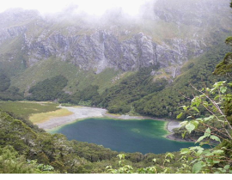
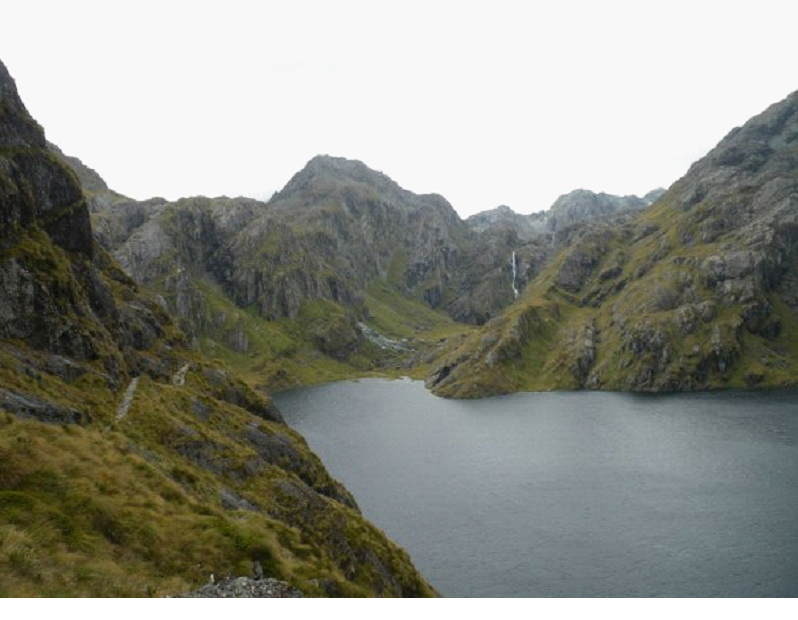
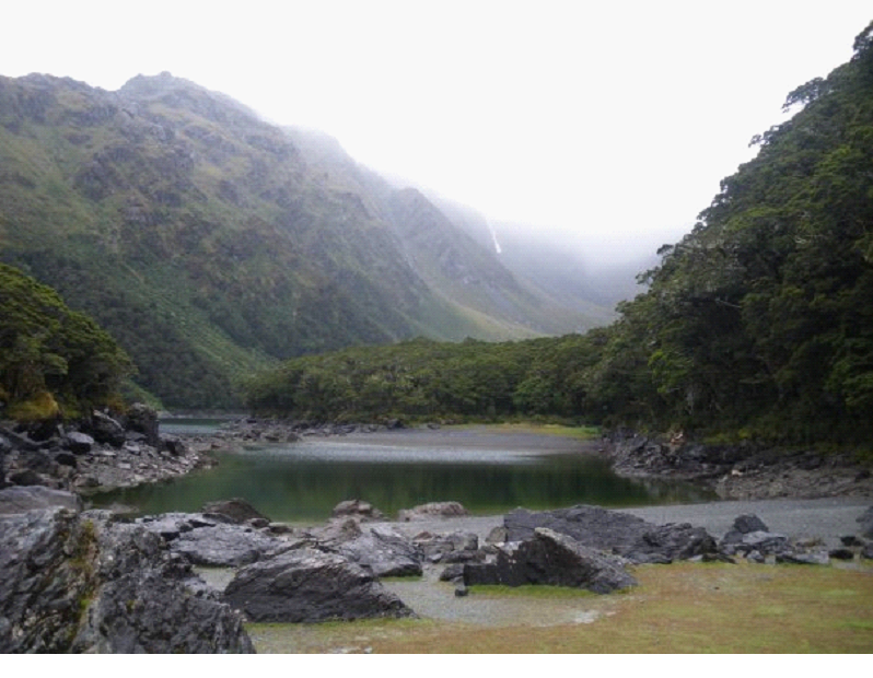
We walked over to Lake Mackenzie to check it out before getting back on the trail.. Apparently in summer, folks are swimming in it, and laying out all along the shore.. It is a great looking lake – but too cold right now.


We started out the hike, with a steady climb up the mountain on the left.. in fact, within about an hour, here was our view back:


The day was shaping up to be mostly cloudy, but no rain.. so things were looking up weather-wise.. And lots of great scenery to come..

The hike was steeper then yesterday’s, but not too bad.. A steady climb which eventually brought us up past the tree line.. At one point, we even had to traverse a bit of a rock face – a pretty big drop, with little to step on. Probably the only scary point of the trail.

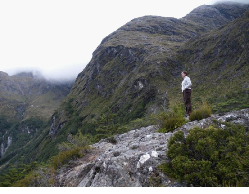
Coming around the turn for the Hollyford Valley, we actually caught up to a group of older Chinese ladies who had stopped for lunch at a nice lookout point. You can see them in the distance below..


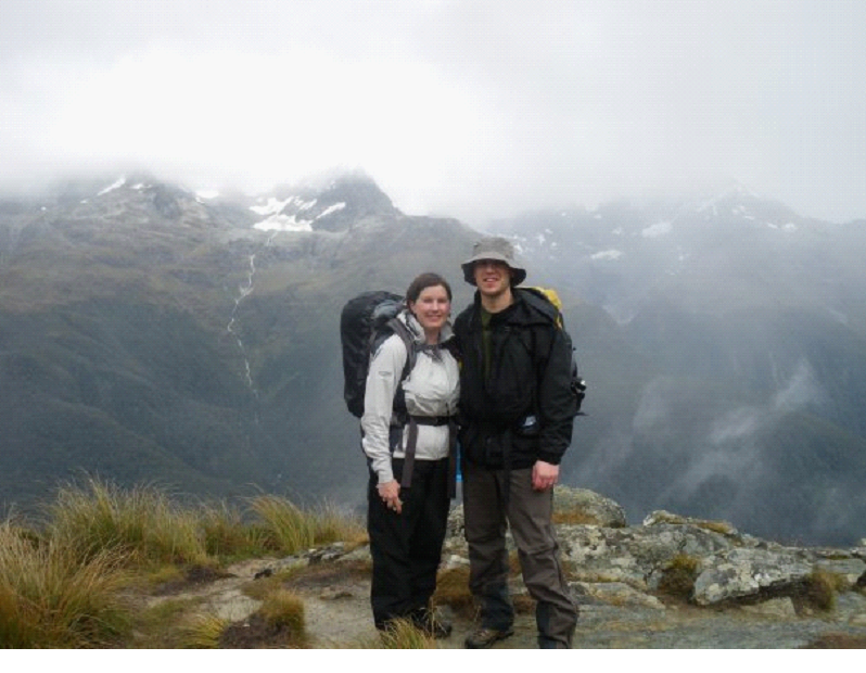
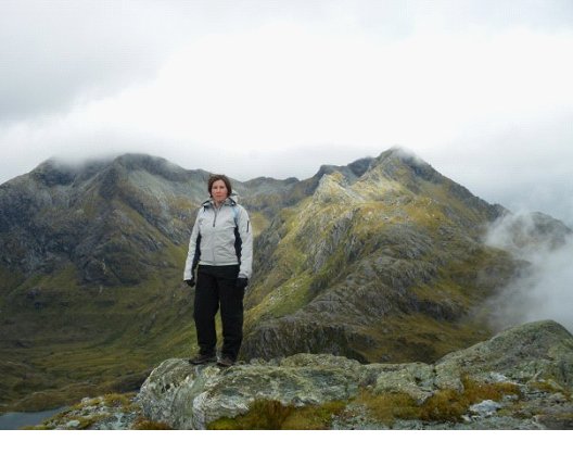
They were nice enough to take our pic before they headed out in front of us (they were moving much quicker then us)


We bumped into one chatty woman coming the other direction as we neared Conical Hill.. She was from Colorado, and was really enjoying the track. She warned us there was a class of kids coming up behind her..

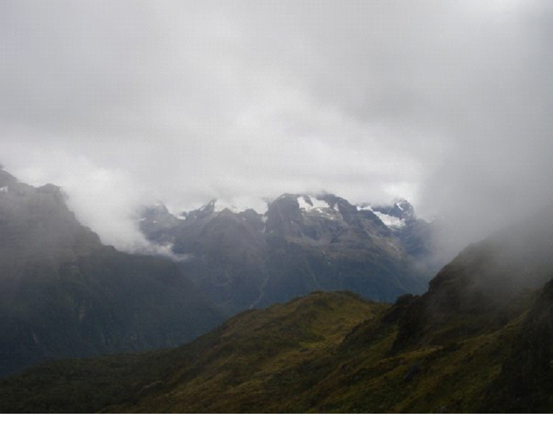
We were well above the tree line now… With views of snow capped mountains between the clouds..


I took a short flick to try and get the feel of how some of the trail was.. Kinda scary, but not too bad: (don’t mind my dry humour imitating the NZ accent of ‘ten’ sounding like ‘teen’ ! )
Once we got to the Harris Saddle, we had another bite to eat, and gathered some energy for the side trip up conical hill..

We thought it was a quick side trip, like up to the point of this pic.. Showing the way back (the emergency shelter, with the trail – to the right is were we came from, and to the left is were we’d head once we got back from the side track – the trail heading toward the camera)


The Side track brought us up to the peak, with great views after some steep rock climbing. Turned out the view above was only about half way up the side track! It was amazing just to watch the clouds pour over the mountain top we were on.. rolling up the hill in front of us, continue over us, and disappear.. At one point a helicopter went by.. Which was a little weird since we had to look down to see it !

The view below is still only about 3 quarters up the sidetrack.. the last quarter was pretty much rock climbing, with the ‘trail’ nothing more then some poles drilled into the rock (I guess to help mark the path in the winter)


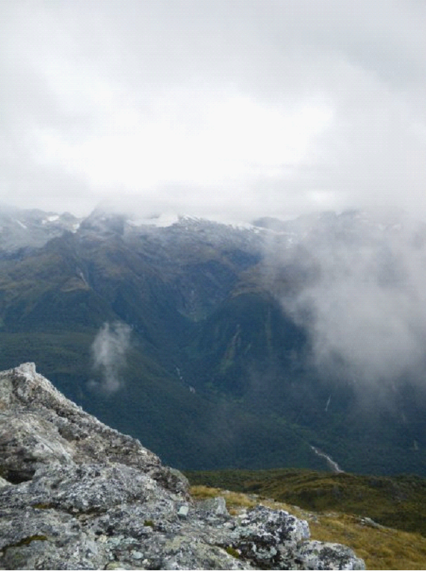
Finally at the top, we had a 360 degree view.. One direction saw the valley head out to the sea..


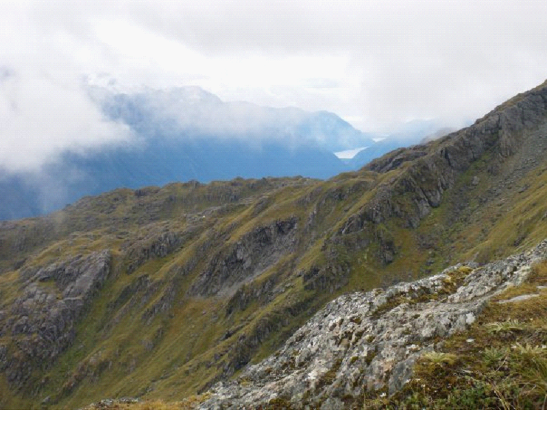
And the other saw the path we were going to be following..


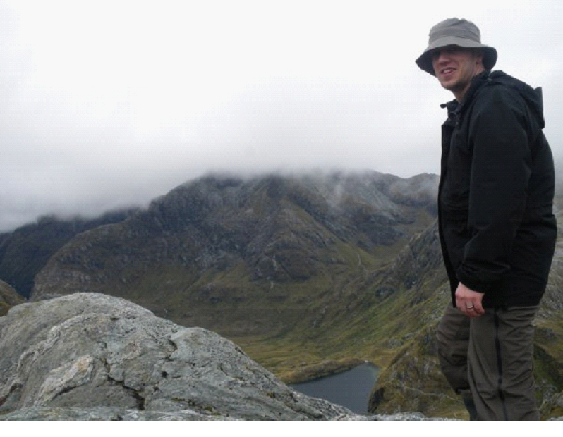
Just below my knee, you can see the path we would be following once we returned back to the shelter, and headed toward the Routeburn hut. The views across the valley were amazing.. I Joined a couple photographers at the peak, waiting for breaks in the clouds to grab a better shot of the snow capped mountains across from us..


We headed back down, grabbed our backpacks which we left at the shelter.. And continued along the track. Once we got around the bend, a bit further then you can see along the trail in the photo a couple pics above (the one where the trail is a little below my knee), we took a picture looking back to the peak we just climbed:


The peak in the middle of the photo is the one we just came from  (Conical Hill). The trail is on the left.

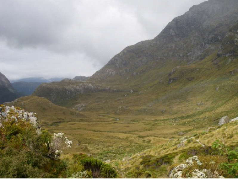
Continuing on, we were starting to head downhill into the final stretch toward the Routeburn Falls hut.. And we would follow the water there.. As we were walking, along the trail, down a cliff, under a big boulder, we came across a rainbow.. which was still below us! You can make it out around the right-center of this pic:


A short clip of the area as we hiked down along the river..


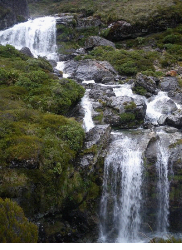
Once we finally arrived at the Routeburn Falls hut, we immediately saw what it was named after.. The mountain river came to an area of a few waterfalls, which wound it’s way right around where the hut was. It was one of the best situated places I’ve slept in my life. The soft thunder of the falls all night.. And the scenery continued to marvel us.


After picking our bed (in a much more modern looking hut), we quickly went back out to check out the surroundings.. The hut was literally just over the rock, to the right of the pic below..


Another short clip showing the area in motion.. pardon the Canadian accent 😉


Routeburn falls hut seemed much cleaner and generally better then the Lake Mackenzie hut… Though it was a bit darker for some.. We happened to take the center bunk, which actually got some light from the transom windows..

They were building an extension? to the guided tours hut (the guided tours give you clean showers, cooked meals, etc), and so there was a helicopter pad, and some work going on at the time..

We were happy to cook up our little meal in the shared kitchen area, where an Irish guy recommended the freeze dried lamb packs to us.. Maybe next time!

The hut warden wasn’t nearly as entertaining.. So we played cards, read a bit, then hit the sack for our final day’s hike out of the track..

Our Honeymoon blog: Day 6

South Island Day 6 – Routeburn Hike Day 1

We woke up in time to have a little breakfast, make some final adjustments to our backpacks, and double check our route and timing..  We then put our gear on (waterproof head to toe, since it was gonna be wet for the first day at least), and headed to the parks and rec building just a block away from the campsite in Te Anau to catch our bus to the Divide – the western side of the Routeburn track. We had decided to go west to east, as opposed to the more common east to west direction, which i think turned out great… We did it not only due to the steepness of some of the sections, but also, I had a plan to spend some time in Queenstown after the trek, but as you read on, you’ll see that didn’t work out.

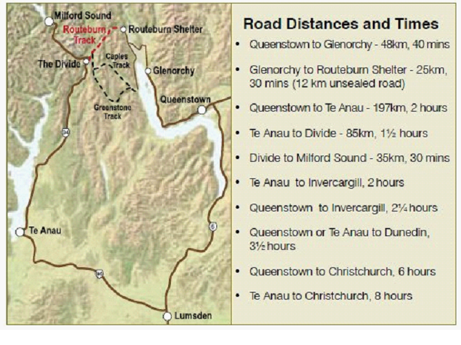
Here is the route we were taking.. the red section is the hike, the rest are bus rides. So Te Anau to Divide was our start, then we walk for 3 days (2 nights) to get to the Routeburn Shelter, then buses eventually all the way back to Te Anau.  The walk can be shorter, but we planned on a relaxing stroll, with lots of stops for picture taking, etc.


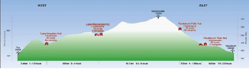
The actual walk elevations are shown below.. We stayed the first night at Lake Mackenzie Hut, then the second night at the Routeburn Falls Hut…


So we started off with a slightly steep climb from the divide.. Which was kinda tough… After the driving ‘injury’ and now lugging around a backpack with 3 days supplies, the shoulder(s) are killing and the feet are getting sore as hell.  But it could have been much worse. We were very prepared, with great breathable waterproof gear that we spent good coin on, as well as great hiking boots and great backpacks.


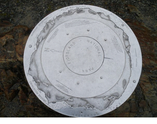
So the first day was a lot of climbing.. though well worth it, with countless amazing waterfalls we would walk right up to, as well as a side trip to the Key Summit. While the rain was making the water falls come alive, we lost out on some landscape visibility… This plaque at the Key Summit shows the 360 degree view of mountains which would be visible on clear days…


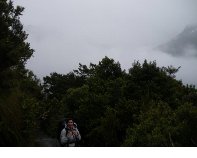
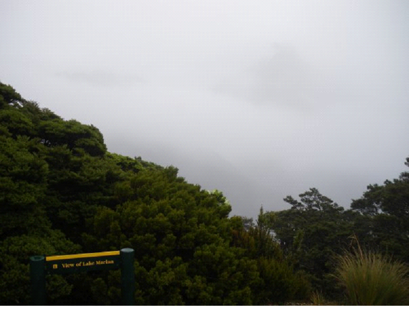
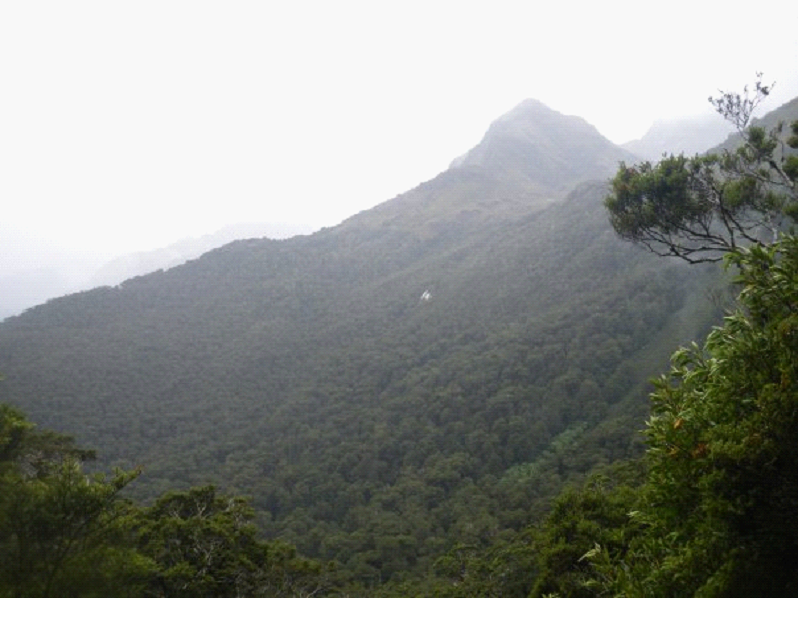
But here is an example what we saw when it came to distant views:


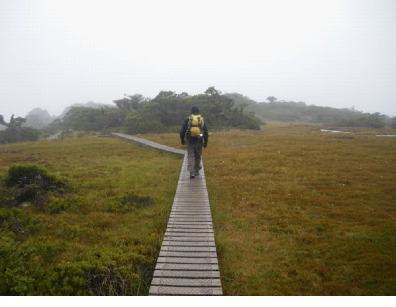
On top of this mountain, at the Key Summit, there was a Alpine Nature walk, with water bogs and other alpine plants.. Here I am walking along a boardwalk above some of the water bogs…


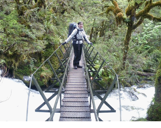
The trails were pretty well groomed, with sturdy bridges in some places – other areas you had to walk into the water across small streams.

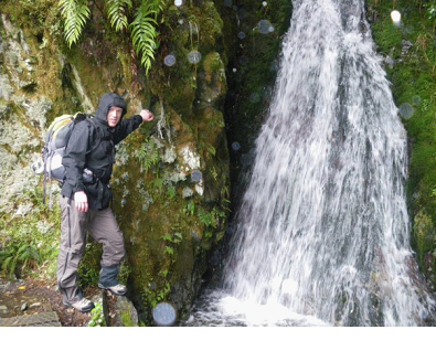
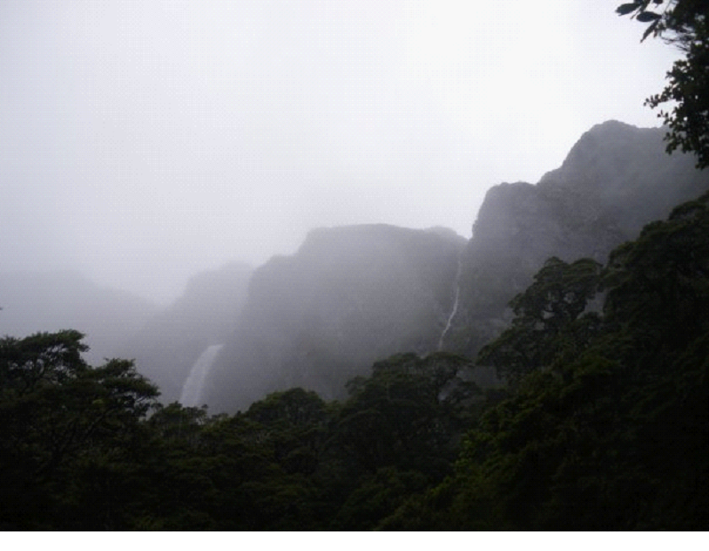
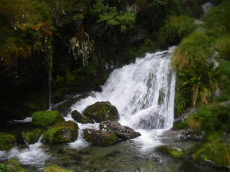
You could see waterfalls in the distance at all times.. Peaking through the forest.. In some cases, the waterfalls you first saw in the distance, were eventually right above you!


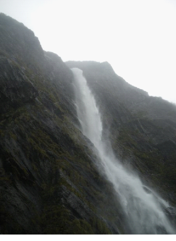
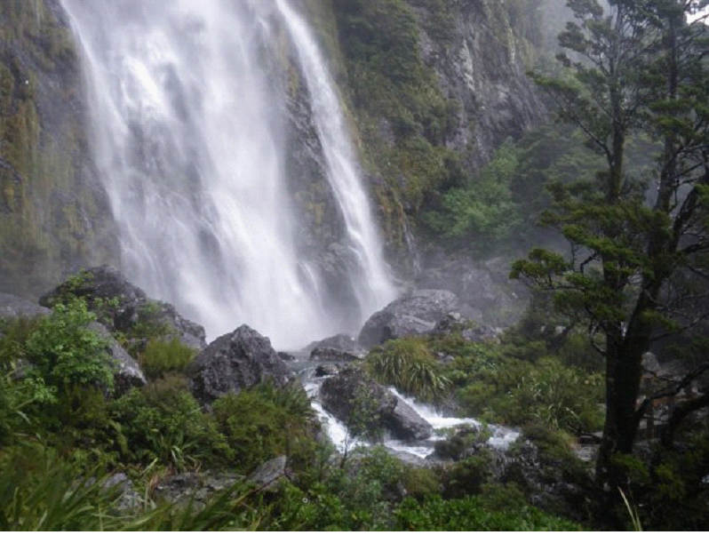
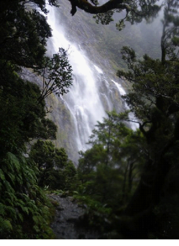
The big falls on the above photo were called Earland Falls.. They were spectacular.. and amazingly enough, the trail basically brings you right under them.. Boy that was windy! And a little too wet to take photos.. But I took one just after passing by it:


And in this pic below, you can see part of the trail (a small bridge) in the bottom right corner:


When we were finally able to tear ourselves away from this place, I took another pic looking back, from a few steps into the forest.. I just couldn’t get over the beauty..


We continued on.. At this point with a camera which was getting a little too wet.. Between the off and on drizzle, the dampness in general, and then a waterfall or two, the water was starting to affect the pics..  But still great looking sites nonetheless..


Great pic showing the white lichens growing on the trees in many places:


Once we finally arrived at the Hut, we were told to just grab a bunk that was open, then sign a sheet that you arrived, and what bunk you took… The warden would be paying a visit soon, and would check that you had your reservation ticket, etc.  There were basically 3 buildings – a common room that had some bunks on the upper floor above it, a bathroom building with sinks and toilets, and another building with just more bunks. There was also a little cottage, where the warden on duty stayed. The common area had a stove where very wet people were constantly feeding the fire, a few tables and chairs, as well as a kitchen area with a ton of gas stoves to cook on, and a few sinks.  The stove area of the hut was jammed with clothes drying, in every possible place they could be hung.. Apparently not everyone heeded the warnings that you are basically guaranteed at least one day of rain while on the track.

Here is a steamy (camera was drying out still) and blurry (it was dim, and I didn’t steady the camera) view of what the bunk building looked like:


The bunks were basically 4 to a bed, with an upper and lower level. There were 4 of them in this building. We were lucky enough to have an entire level to ourselves to stretch our sleeping bags out on. There is no heat in the building – which was fine with our great sleeping bags (it was a little chilly outside at night – probably 10 degrees or so).

We cooked ourselves up some dinner, ate it, and started playing cards / reading.. And then the warden came. He was hilarious. He got the room’s attention, and preceded to tells some great stories, and some interesting history of the place. He referred to the wardens as the most dangerous creature in the NZ wilderness 😉

Told us stories of people who got lost on the trails.. Some of the folks who came along not realizing it wasn’t going to be a nicely paved path, etc..

Anyway, it wasn’t very hard to fall asleep a little later on.. Our second day of the hike would be the most spectacular, but also the one with the most hiking..

Our Honeymoon blog: Day 5 [cont]

South Island Day 5 – Milford Sound

After an amazing drive through the mountains, a tunnel, and with a bunch of walking trips on the side, we finally arrived in Milford Sound.

The first thing we noticed (other then the beauty of course), was how it wasn’t very ‘commercial’.  A very small place, with a pub, and a pier. A selection of tours you can go on.. but no McDonalds or anything like that.. Good stuff.


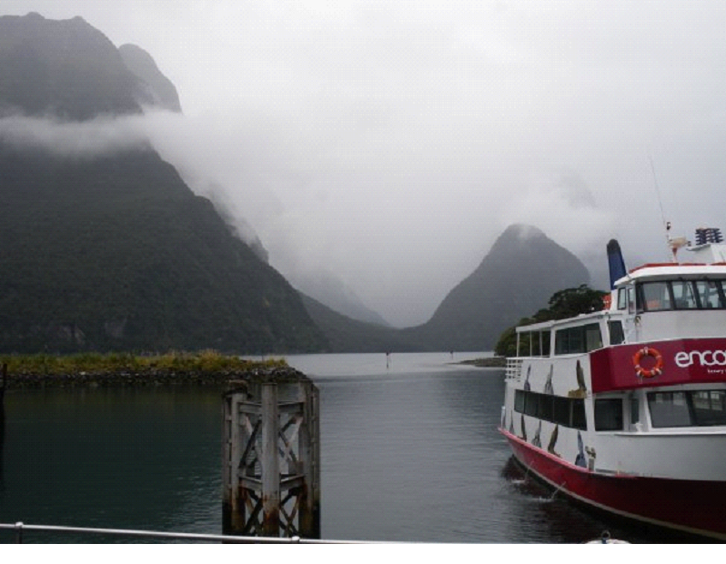
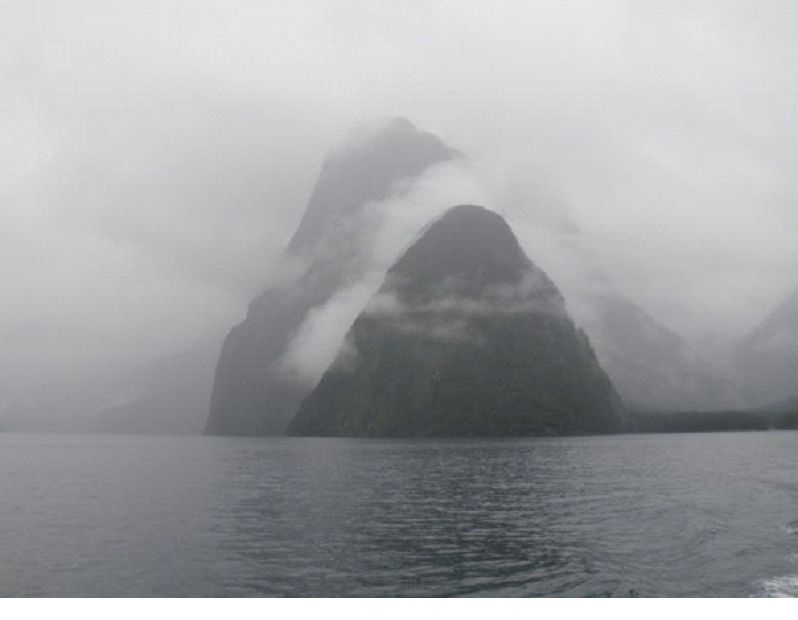
We got there about a half hour before the last tour, so the timing worked out great again..  One annoying thing though was that while we wanted to sit and wait on the pier, the ‘sand flies’ were just too much. Swarms of them came at ya if you stopped moving.. So we waited indoors for the most part. Above is the view from the Pier, with the boat we were about to go on, and Mitre Peak in the background.

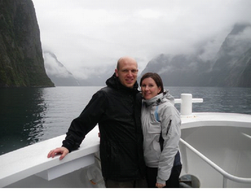
Soon, we were off on the couple hour tour..  The guides were pretty interesting, with the odd joke here and there.. He informed us that we had come after one of the longest droughts – 9 days without rain.. But thanks to the rain over the past 2 days, nearly all the waterfalls were alive…

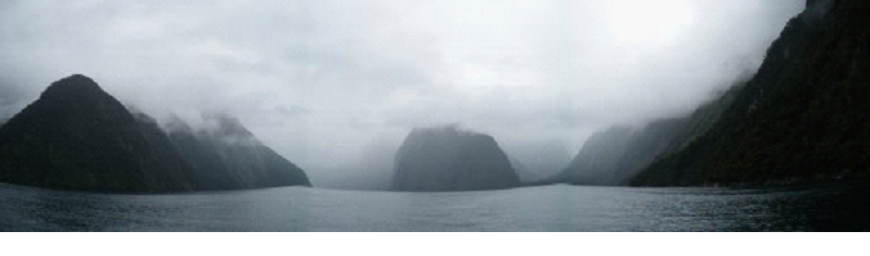
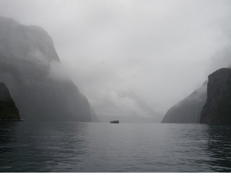
Here is a slightly warped panoramic looking ahead to where we were going..


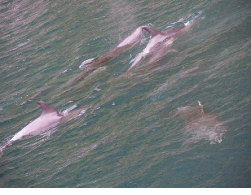
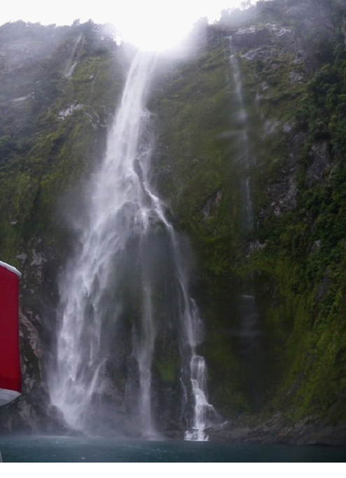
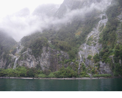
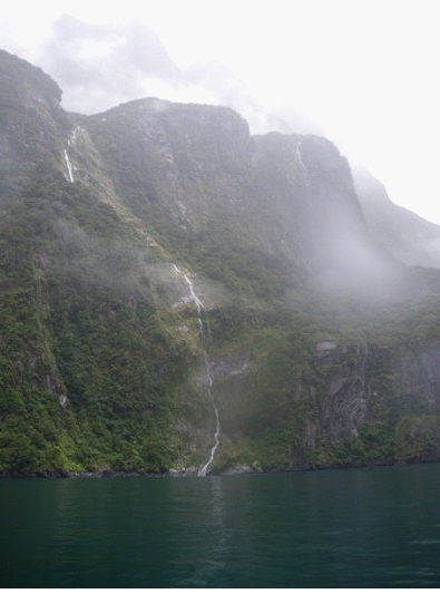
Sooo many waterfalls.. it’s hard to cut down on the photos I’m posting up here.. but just know it’s just a small sample..  As we were boating along, the captain noticed a small pod of dolphins.. so we followed them around for a bit.. First time I ever saw wild dolphins.. They came to check us out as well..


Again, the water was a brilliant blue.. and the surroundings were amazing.. Here is a short clip of the dolphins – sorry about the camera work, but I did a quick pan just to quickly show where we were..


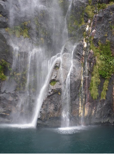
We continued on.. Just in awe of the waterfalls and the natural beauty.. We were told many of the cliff faces had precious metals in them, but they were protected by the national lands.. Here are a bunch of pics..


The boat came up right under one of the waterfalls.. So i took a clip of that as well.. You can also just make out the fish that were swimming around under it..


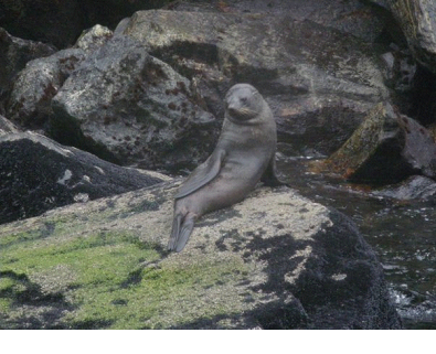
The tour continued on.. And then happened upon a few Furry Seals sunbathing..


I also took a film of them hoping around.. Again, quite a shaky film, sorry!


We continued on, to where the land gave way to the ocean / Tasman sea, it got pretty choppy out there, so we turned around, and headed back in..

More of the waterfalls..


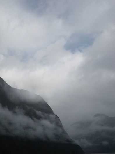
At one point, the clouds gave way to a bit of sky.. so we had to take a pic! first bit of blue sky in awhile!


Being the last tour out, they offered ‘End of day specials’ – all the leftovers at a cheap cost.. Paid a buck for a cup of pretty tasty soup..

Once docked, we headed back down the road to Te Anau, with just a couple stops to make.. There were just a couple spots on the way up that we noted down to stop at when coming back..

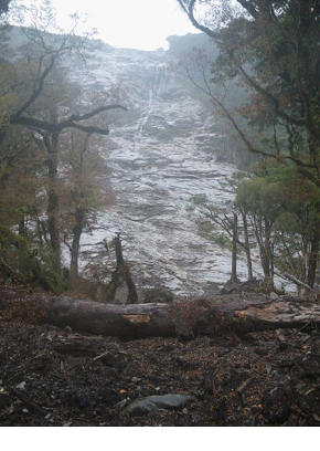
A “Slip” as they call it, where a side of a mountain has an avalanche – but not snow – trees and soil.


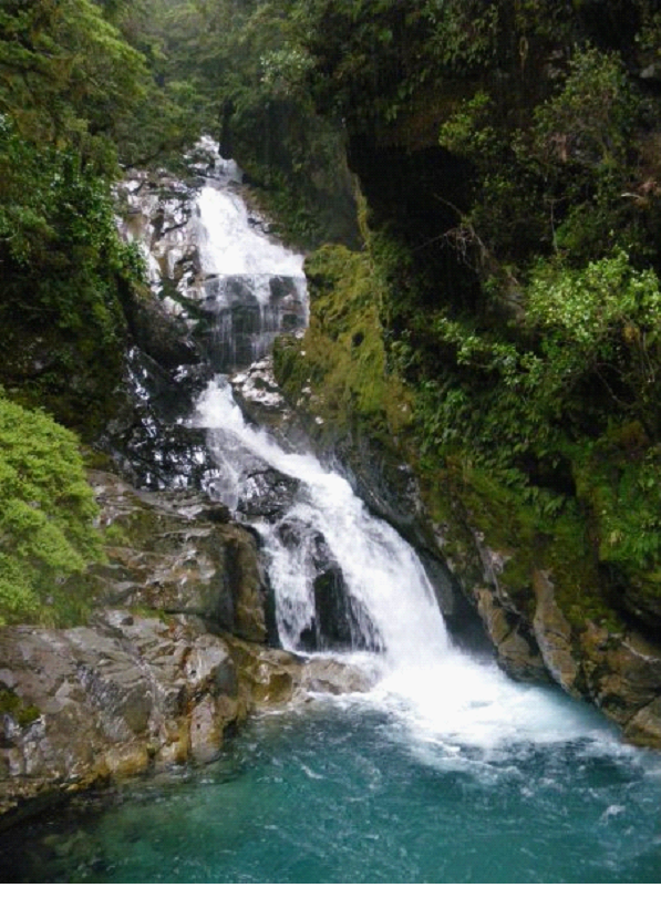
Another little waterfall above, and another great view of the valley while driving back:


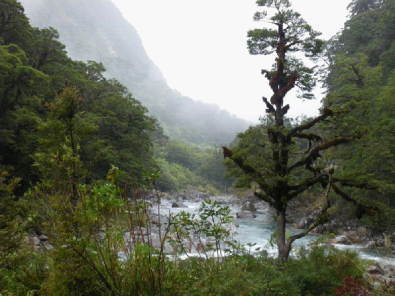
And a great view along the valley river:


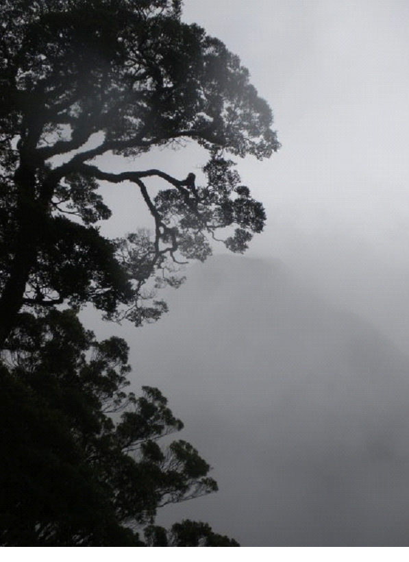
And one final shot that I love, of a misty tree..


Then, it was back at our campsite, to pack for tomorrow’s start to a 3 day hike into the mountains, along the Routeburn track!

Our Honeymoon blog: Day 5

South Island Day 5 – The Road to Milford Sound


We woke up and after a quick stop at the grocery store to pick up a few more things we needed – specially for the hike starting tomorrow, we started our day trip up to Milford Sound and back. We also called ahead to book a spot on a boat tour of the Fjords (Milford is actually a fjord rather then a sound – bit of a misnomer by the guy who named the area ages ago)..
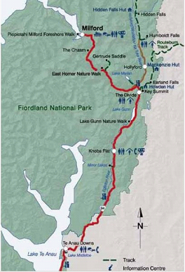
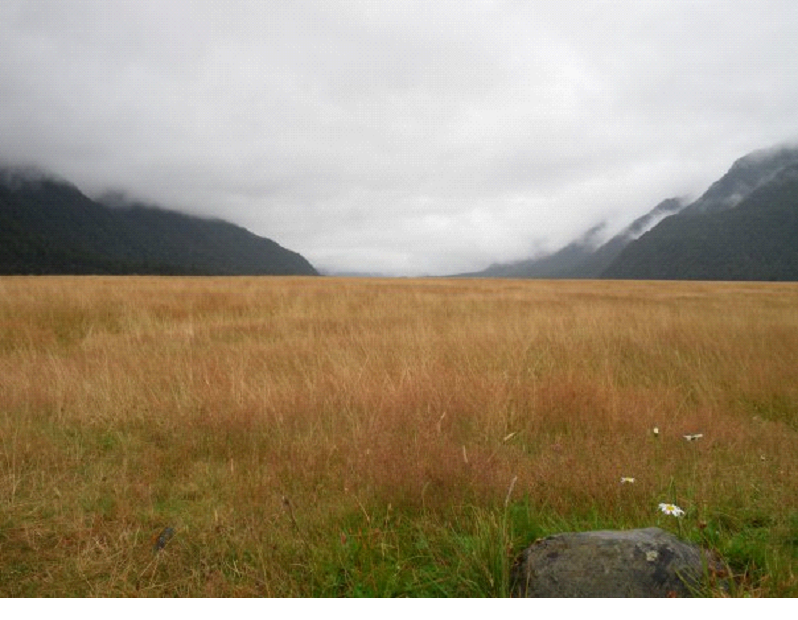
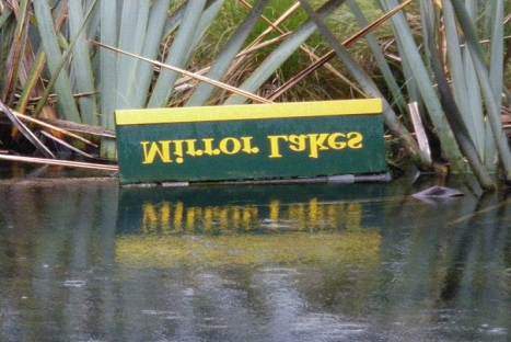


As you can see from the map to the right, the road started out pretty flat, with gorgeous mountains in the distance.. but we quickly caught up to them, and beautiful sites ensued!


There are a ton of points to stop at along the way, so we targeted the ones we really wanted to do, and left the rest depending on timing..

Here is a pic of the guide which the parks and rec folks make available on their site (http://doc.govt.nz), showing many of the places you can stop and take a walk into the rainforests of Fjordland..(specific pamphlet: http://www.doc.govt.nz/upload/documents/parks-and-recreation/tracks-and-walks/southland/fiordland-day-walks.pdf )

Here is a pic where we were nearing the end of the flat land, and entering the mountains..


Our first stop was the Mirror lakes.. Which, on a clear day, gives folks famous images of the southern alps reflected in the little ponds.. But alas, the rain was messing with that plan..


Our first little hike was an amazingly blue stream / rapids.. I wish the blue that we saw, showed up more in these photos – and it was sooo clear!  Any the water levels and number of waterfalls we were going to see, was all thanks to the rain.. So while it messed with some aspects of photos, the rain gave us the opportunity to enjoy the land, as it is 250 days of the year – wet, with waterfalls coming alive all around us…


In the photo above, right about where my feet are when taking this photo, was where I very nearly slipped into the rapids, and said bye bye to the world! I like to refer to it as ‘Incident # 2’ 😉

Here is a look back from the board walk, where you can see the moss I slipped on, while walking backwards for Mish to take a photo of me..


Maybe it wasn’t the best idea to walk out on that rock and then think the boots I had on were going to grip anything I stood on!

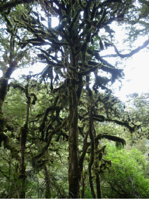
The trees in these forests are just absolutely covered with growth of all sorts.. Sometimes with many different coloured mosses, and other times, such as the pic on the right, with a thick layer of green moss.

After this walk, we continued on despite the road looking like it was headed towards a dead end..


The dead end turns out to be Homer or Gertrude? Saddle, where Homer tunnel has been built to continue the road to Milford. before the tunnel, the mail man had to walk the Milford trek to deliver mail to Milford sound.. I think the tunnel was completed in the 50s?

Here is a clip of our drive towards the tunnel – with a sample of the fact that waterfalls and snow capped mountains were everywhere we looked..


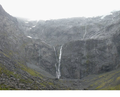
While waiting for the tunnel light to go green, we snapped some photos of the waterfalls around us.. There was another walk here, that would bring you up to the top, but we passed on this one..


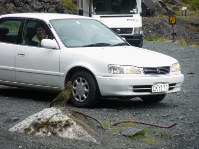
Then, still while we were waiting for the light, a wild parrot paid a visit.. The Kea parrot, which we had only previously known due to the millions of “Don’t feed the Kea” signs everywhere… Needless to say, the dumbass in the car was soon feeding the Kea.. (note the yellow sign in the background is just one of millions of such signs in NZ, which is basically saying don’t feed the birds)
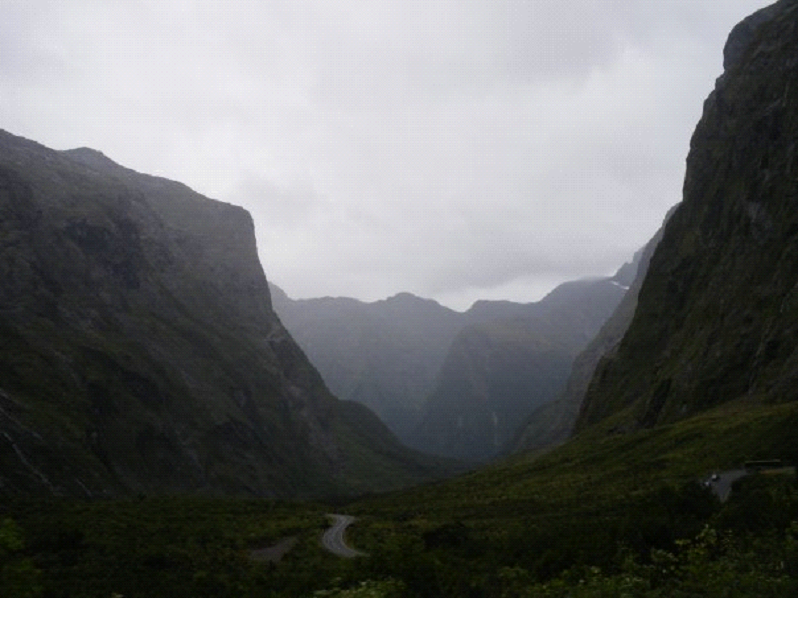
Once the light changed, we moved on, through a very roughly built tunnel.. lots of water dripping.. the walls were exactly as they looked when the last chunk was hammered off – no concrete or smoothing it over..

Here is a little video of the tunnel drive:


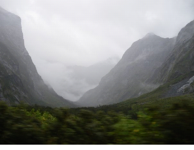
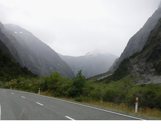
We emerged on the other side, to the views of still more amazing mountainscapes.. and a winding road back down into another valley..


I can’t get over how beautiful the area was.. Even in the rain – maybe more so with the rain.. I dunno.. with clear skies we may have seen into the distance more, and maybe the tips of the mountains.. but the rain brought a definite natural look to the area.. and of course the waterfalls..

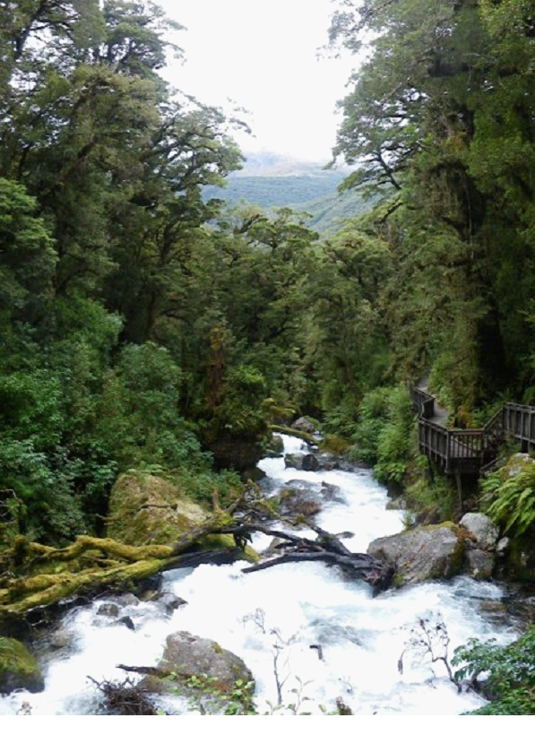
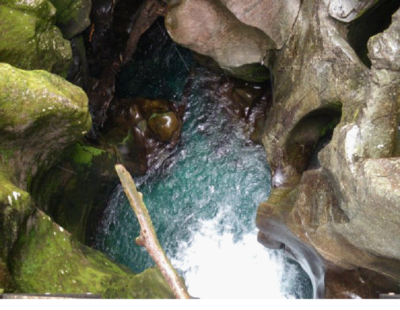
One more side trip on the way before we actually got to Milford Sound.. This side walk was called the Chasm. It had more of the sooo blue, sooo clear water rushing down through smoothly sculpted stone and fallen trees.. Here is a look down the ‘Chasm’..


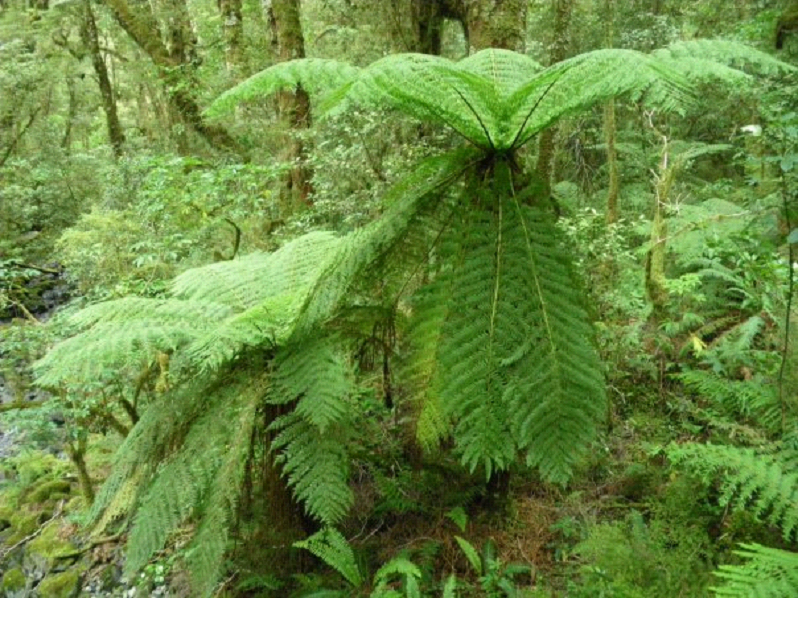
Another example of the fern trees which are all around


Next up.. A boat cruise around the waters of Milford Sound..