Our Honeymoon blog: Days 11 & 12

South Island Day 11 & 12 – Arthur’s Pass, Punakaiki, Westport, Buller Gorge


Day 11

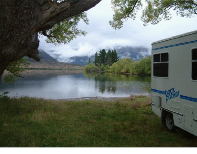
So as I mentioned in the previous post.. We had stayed the night at an amazing spot beside Lake Pearson.. Very picturesque..

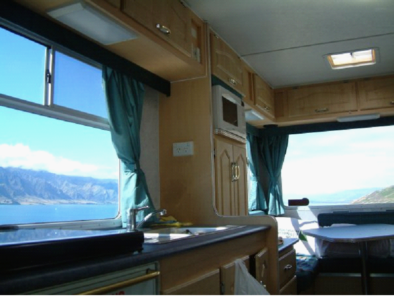
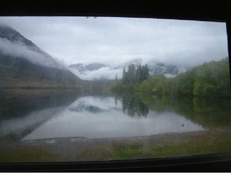
The window was pretty dirty, but I had to take a pic to show our view waking up and eating breakfast.. A duck even swam by (you can see it bottom right)

So anyway, once we got up (pretty early due to a lot of driving planned), we continued on towards our goal of Porter’s Pass (Michelle’s maiden name!)

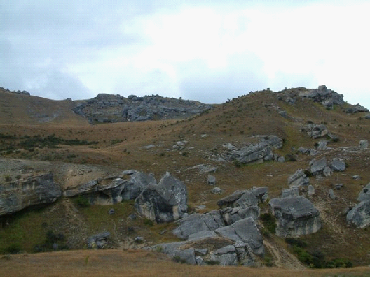
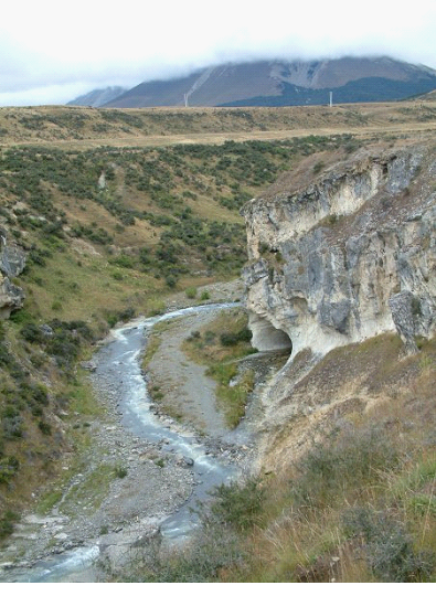
We stopped at a few sites of course along the way.. the first one being a little cave, in the middle of fields of boulders. Bouldering is a very common thing in this area.. Apparently a great place to hone your skills for rock climbing.. We saw a couple folks along the road walking with their mats.

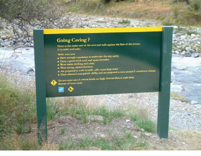
We walked towards the exit of the cave first, and came across a sign.. I was amazed this was the only thing around.. Anyone was welcome to go caving here – open to the public. Just some basic warnings..

A high school (or maybe older grade school) group came while we were walking back to the camper actually, all dressed in water suits going for a class trip through the cave..  That would be a great class trip!

I checked out the exit a little.. I could see where the water fell out of site, there was a metal ladder built into the wall, so the caving was somewhat assisted.. I really wished I had some gear to walk it..
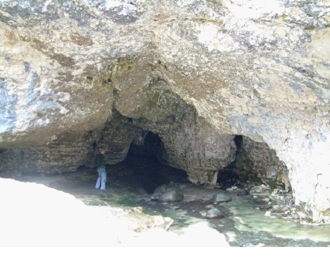

We walked to the entrance, but couldn’t get too close since you had to walk through the river first anyway.. The closest we got was just around the corner of the entrance you see below..

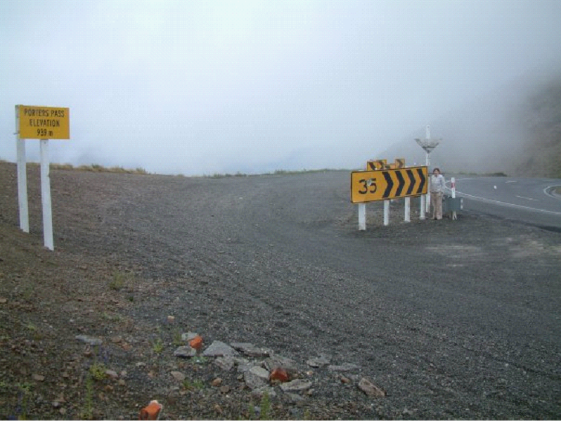
We continued on, and got some funny pics at Porter’s Pass..  The speed limit sign happened to match Michelle’s age 😉 

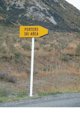
To Mish’s delight, there were all kinds of Porters stuff.. Ski Hills, Rivers, etc..  Here is another example:

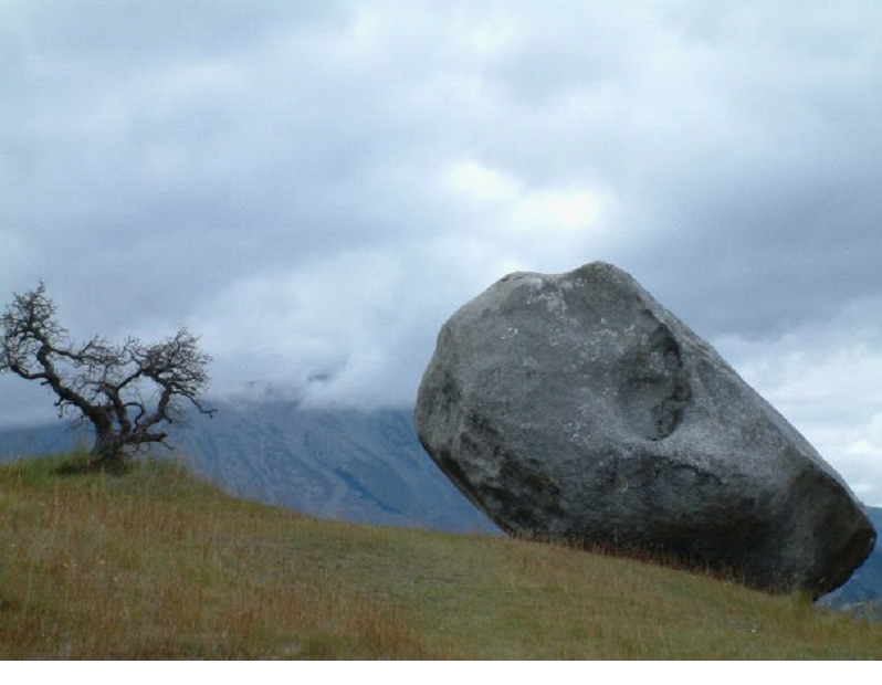
From that point, we turned around, and headed back towards HWY 6 along the coast, stopping at the spots we noted while heading here.. like Arthurs Pass and castle hill.. First was Castle Hill, with more great bouldering. It was actually an ancient Maori village area, since they could find shelter in the rock’s nooks and crannies..
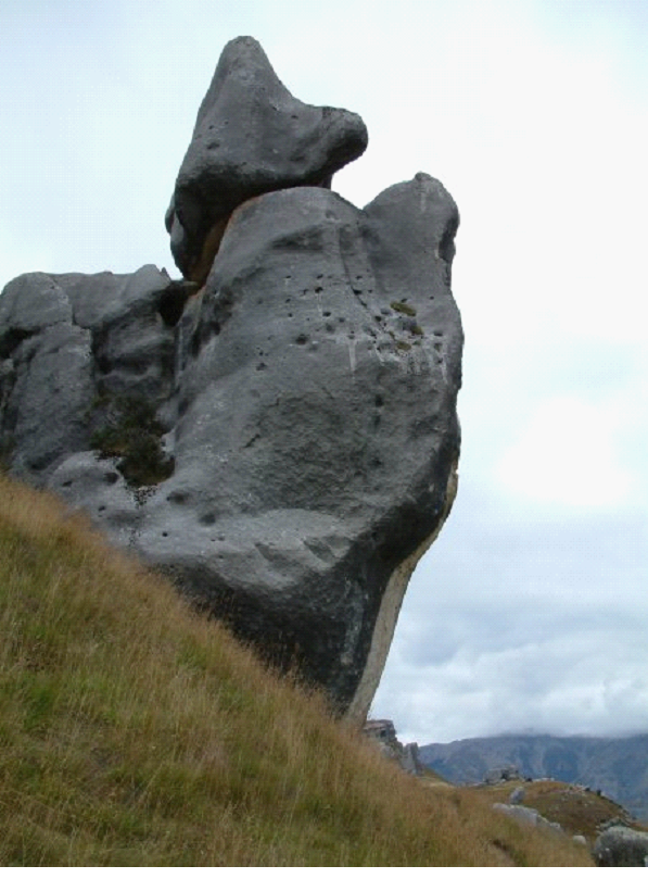

Many of them took on shapes, like the one above as I’m sure you can see the begging dog..
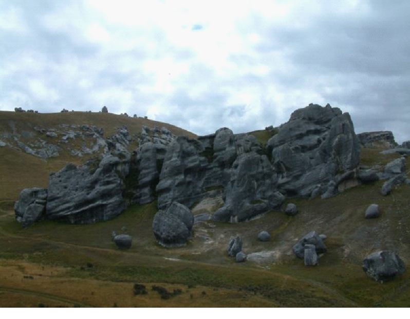

The one below looked a little like a face coming out of the ground at certain angles..
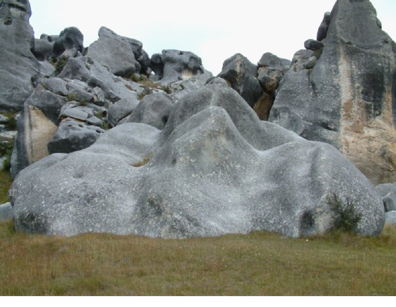

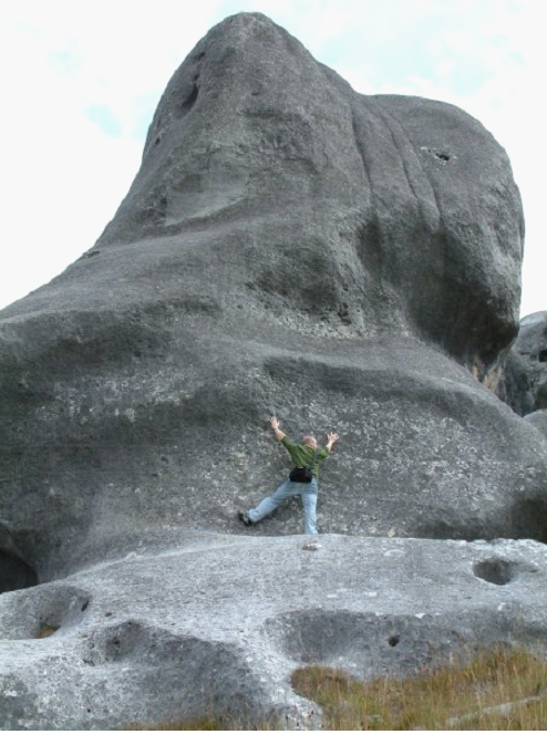
The area was pretty big.. and the rocks are bigger then they look in these pics..
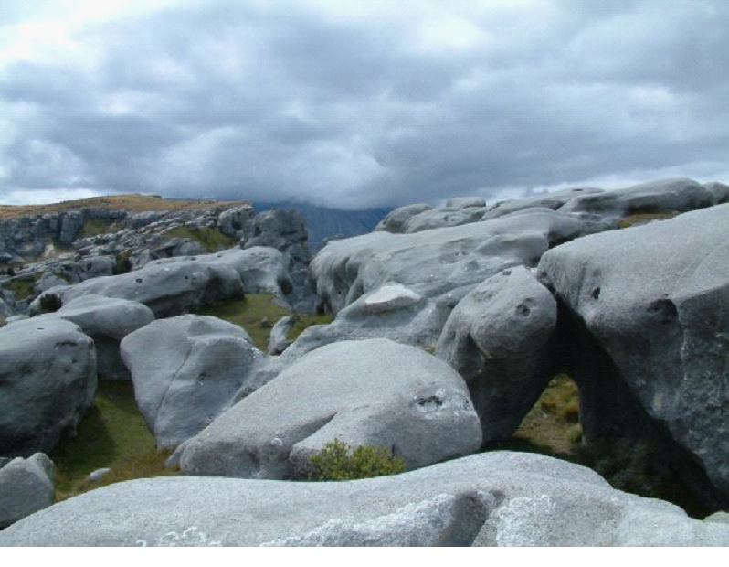

Mish took this one, which I really like:

Here is one to try and give you some perspective of the size of some of them.. (I got heckled when I did this ‘fake climb’ by some guy walking by “That doesn’t look real at all man!”)

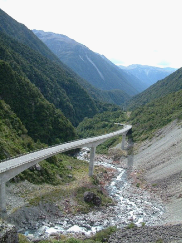
There was some great architecture.. including this bridge through part of Arthur’s pass..

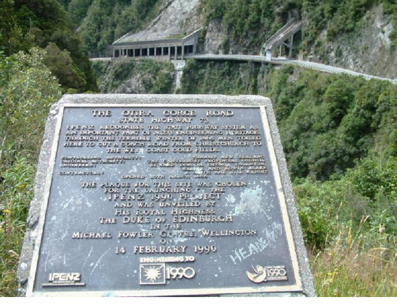
And some protective shelters for the road (one for common landslides, the other for a waterfall / stream)..

Through this drive, some of the rivers had a reddish moss growing on the rocks.. Looked kinda weird


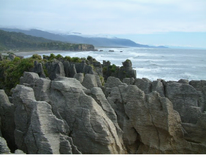
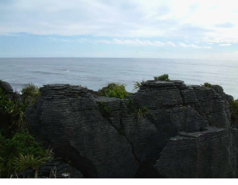
Once we got back to the coast, we drove up to the pancake rocks (Punakaiki), though we missed high tide, so no blow hole action (waves can sometimes splash up in-between these stacked rocks).

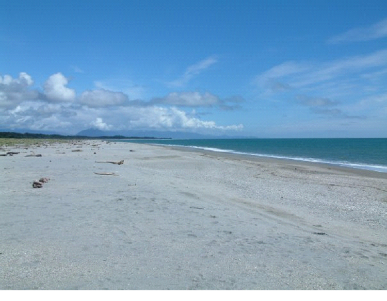
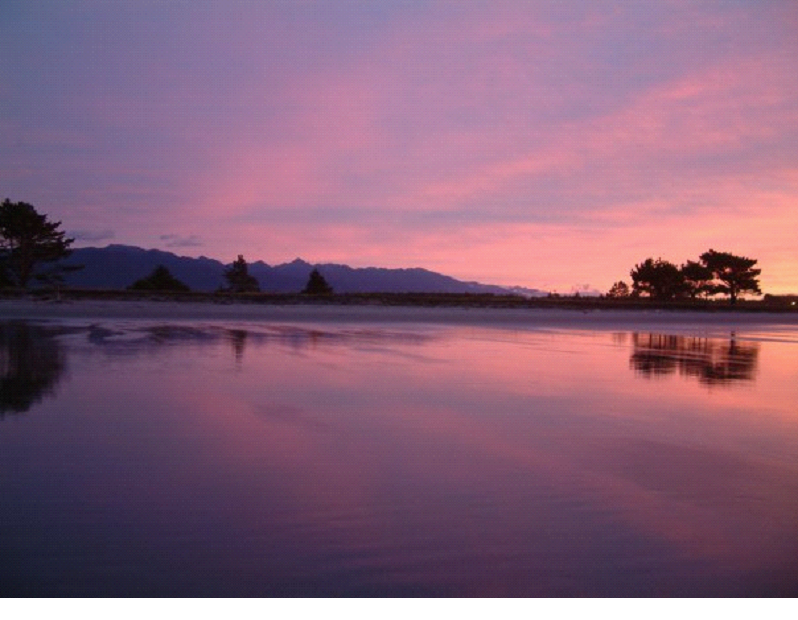
Once we got to Westport, we called it a night at a camp ground just across the road from a huge beach – Carter’s Beach.. So after dinner, we headed over, and watched the sunset.. It was a gorgeous one! I took a million photos, but I’m sure you’ll be happy to know I only posted a couple here..
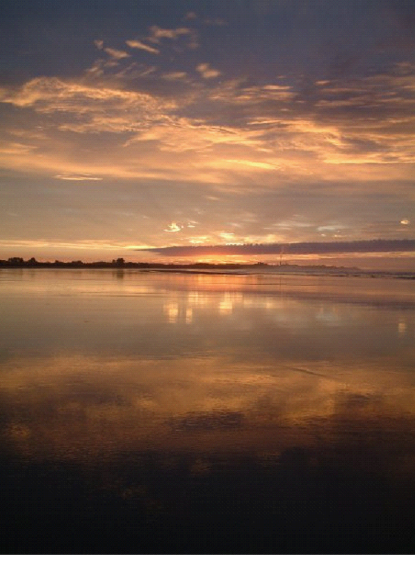

The tide was just changing, so it was leaving a great thin layer of water over a lot of the beach.. made for great mirror shots!
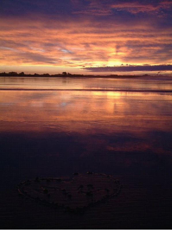

The pic below is looking back towards the campsite pretty much..

We heard it was looking like rain for the next couple days, so we weren’t sure how to handle that with our plans..

Day 12

It turned out the day was going to be a wet one.. So we had to postpone a couple of our plans.. We didn’t actually have anything left that was pre-booked until our last day whale watch, so our plans for horse riding, and sea kayaking were being threatened..

We hoped the rain would go away by the next day, so we planned to just drive towards where we were going to do some horse back riding. We drove north through Lyell, a semi ghost town, which had a near-by swing bridge.

I had a very tough time making it over the swing bridge (thanks to my fear of heights)! Mish went on ahead and tried to get people to stop coming over (it was really tight to fit two people), but they just kept coming.. I kept waiting for some space so I didn’t have to lean over the edge to let someone by.. But eventually, I had to suck it up and head across.

We opted for the zip line back… Which you can see the lines for on the right in this photo:
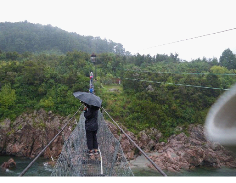

They call it the ‘supaman’ style… It was pretty fun, though easier then expected since you jump off the ledge over land and zip line across the gorge.. I was worried I would be jumping over the gorge.. Here I am getting suited up..
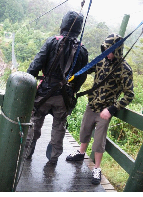

And here is a video taken by Mish before she headed across.. (Sorry its sideways.. turn your monitors on their side to see it straight! )


And here I am from the other side (they take a film of you)..

And here is Mish from the other side.. (she has a little more of a reaction then I did!)


We didn’t get enough of Queenstown, but at least we got a little taste of some adrenaline seeking!

We continued on to Nelson, and stayed at another beach front spot… The largest campground in the southern hemisphere? Maybe largest Holiday Park – Tahunanui Beach.

We went to dinner (Chinese) and a movie (he’s just not that into you) in Nelson. Lots of shops and cafes.. With the rain and all, it was just a relaxing time, and a little more urban then the last few days..

The next couple days would get us back into nature for sure!
Our Honeymoon blog: Day 10

South Island Day 10 – Fox Glacier Heli-Hike

So, since Mish and I aren’t morning folks, we didn’t wake up in time for the little Lake Matheson hike. It’s really just a short one that brings you around the lake, to give you a good mirror shot of the mountain and glacier.. But the day was a little cloudy anyway..

When we did wake up, we did drive out to take a quick look at the peaks again from the same spot as yesterday – not much different today… Hopefully the clouds clear a little for our Hike!

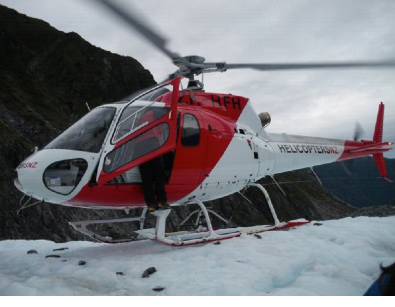
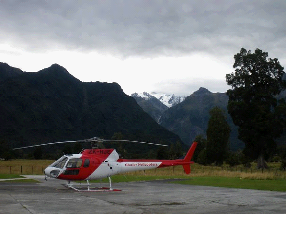
We headed over to the check-in for the Hike, which started off with a bus ride just about back to where we were taking photos that morning.. But, we pulled into a little helicopter pad instead, and got fitted with our gear. Mish and I had our hiking boots on, so we didn’t need to borrow theirs.. Thankfully! they looked stinky, and likely not nearly as comfortable and warm as our own. After a quick lesson regarding take-off and landing procedures around a helicopter, we were broken into groups (weight distributed), and headed out to the helipad.


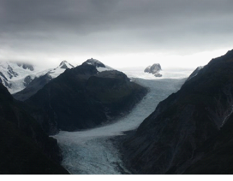
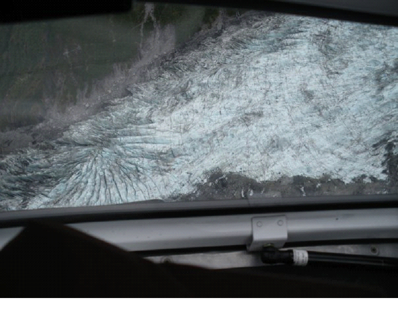
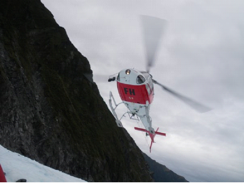
Mish got the front seat for the flight up (the chopper held 6 or 7 people) next to the pilot, so she took the photos for that ride.. It was my first helicopter experience – weird!  It just doesn’t feel right to have no run at it.. just straight up like an elevator…  It was a pretty quick trip, pretty far up the glacier, with just a couple nice turns to give us the feeling of a couple g’s.


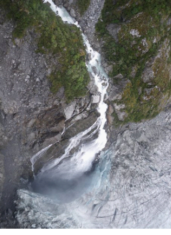
Took in a view from above of a waterfall on the side of the glacier, that was pouring into a dark blue abyss..


Once we landed, we waited to the side as 2 or 3 more laps were done to bring up a few more people in our tour.. Got our steel spikes strapped onto our boots for walking on the ice.. then started our hike..


The bits of ice that were shot out when the chopper landed and took off were painful – everyone had to cover their face, else get pelted with ice pellets coming at you fast..

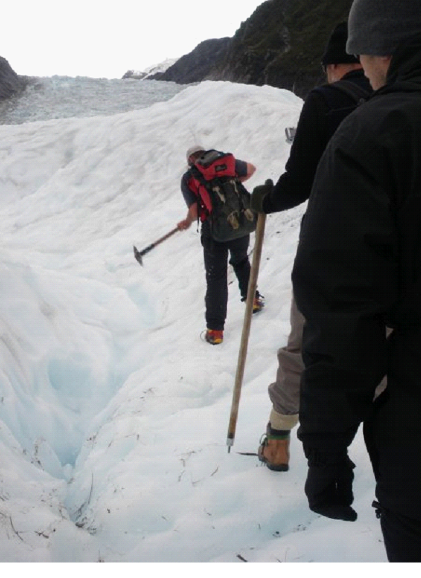
The guide was in short sleeves (not shorts – though other guides were in shorts) even though it was pretty cold out on the ice. He kept chopping up the ice to make it a little easier to walk on.. Chopping out stairs when we needed to climb or descend..


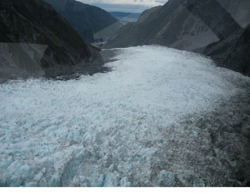
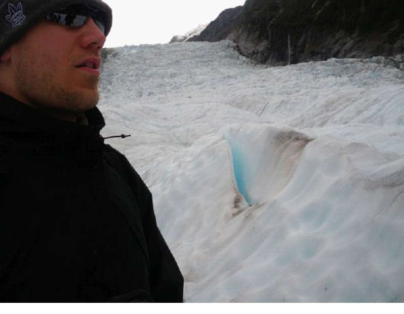
It was amazing stuff… A very slow moving river basically.. Apparently moving about a metre a day? Some years its receding, other years it expands.. Currently it was expanding.. All depends on the amount of snow fall at the top (a few miles up the mountain!).


He mentioned that if you slipped through one of the ‘holes’ where the water ran down (like this one pictured here), you would be dead in minutes.. You would likely plug up the hole, have freezing water pour over you, and you’d be frozen very quickly. Though it happened maybe once, that someone fell through, made it right down to the river at the bottom, and came out the end still alive – though hypothermic, and barely alive. One of the folks in our group asked if he would help us if we fell in – like maybe throw us a rope or something, and he simply said ‘nope. It’d be a waste of time. I’d just leave ya’.. He had a dry sense of humour! 😉
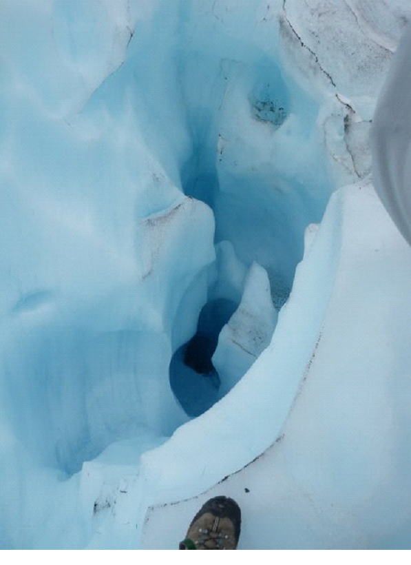
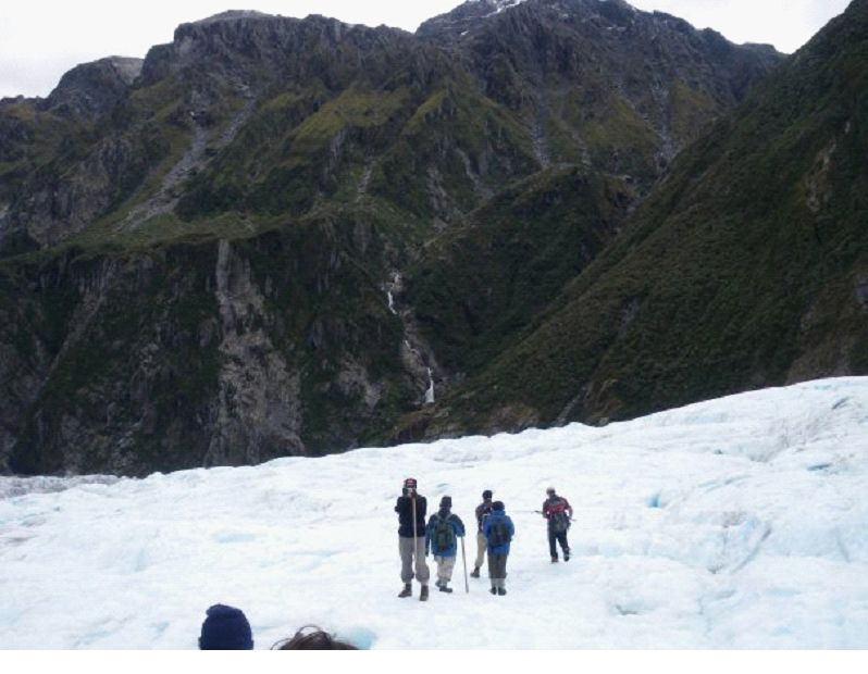
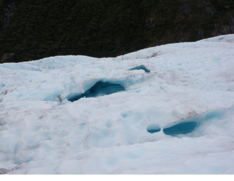
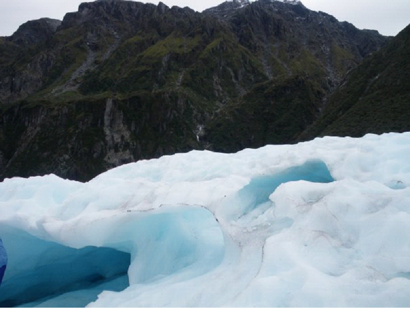
We have literally waay too many photos of the glacier, so I am trying hard to narrow down to just a few on this page..


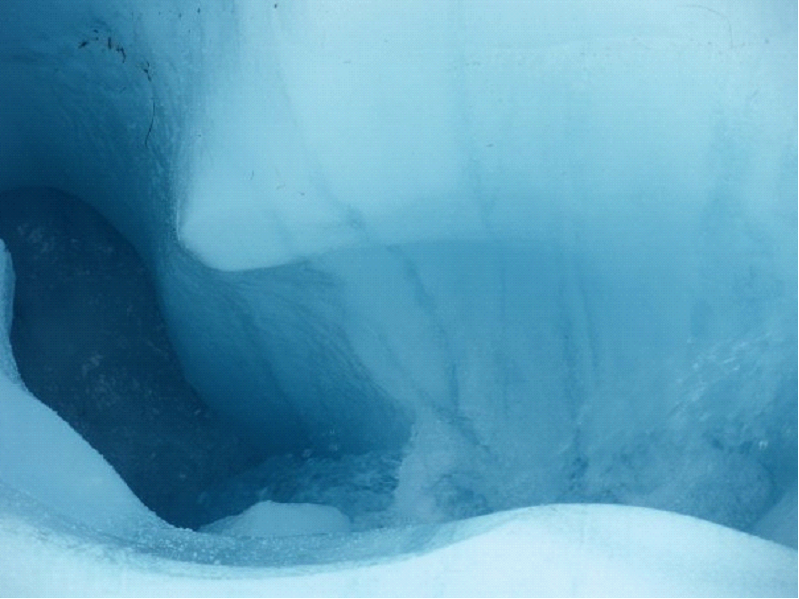
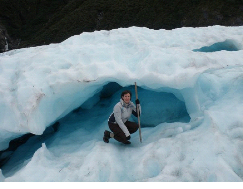
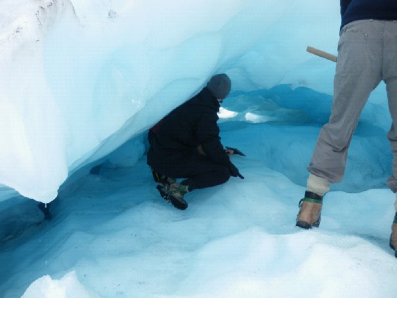
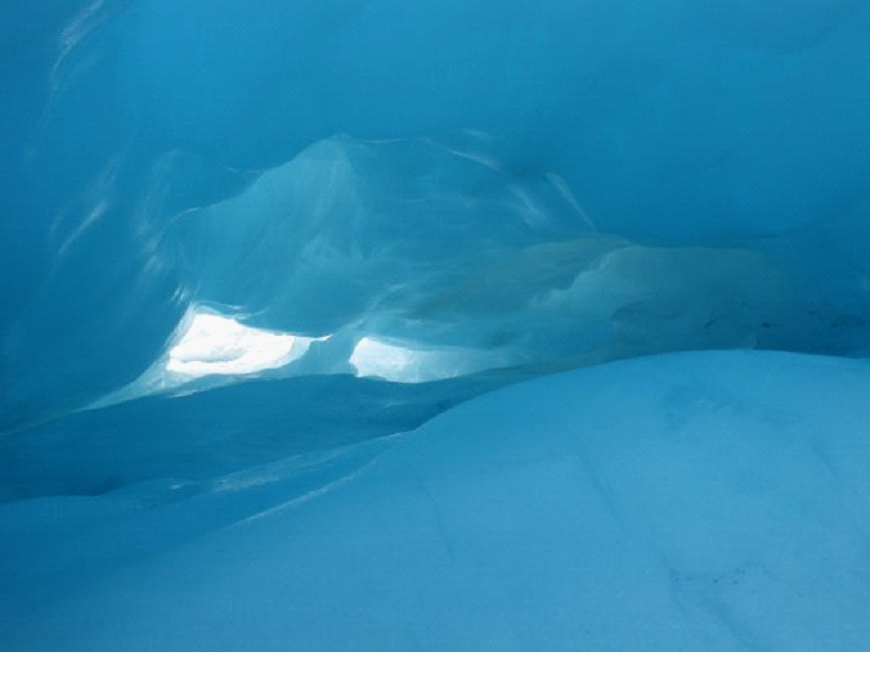
We weren’t lucky enough to find any crevices to squeeze through, or massive caves to walk into, but we did get a small cave that couldn’t quite be crawled all the way through. The guide crawled through, but it was very slippery, so he didn’t let us go too far in. Still an amazing sight though.


A slight unfortunate part of our tour was that we had some slightly elderly / not so agile folks in our tour.. So I think the guide didn’t take us to some of the trickier places.. There was one couple that kept slipping and falling.. even with the walking sticks and steel spikes..


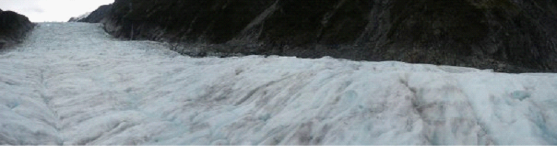
A panoramic from the top to the side..


After about 2 hours (that went by very very fast), we went back to the flattened spot of ice that was currently being used as the heli pad, and grabbed our lift back to the bottom of the mountain. I got the front seat on the way down, and took a short film..

 Thanks to having a camper, we had lunch in the parking lot (made some sandwiches and salad), then continued to head north.

We stopped off at the second Glacier in the area – Franz Joseph. It’s actually the more popular one apparently – so I’m happy we did the heli hike at Fox. We did see distant other hiking groups on the glacier, but I wouldn’t say it was crowded up there at all. Apparently Franz is a little more crowded. Apparently it’s a different glacier too, being steeper, it apparently has more jagged climbs and stuff.. but Fox was great. So we didn’t actually go right up to Franz.. We did the “Sentinel rock walk” for a distant view.


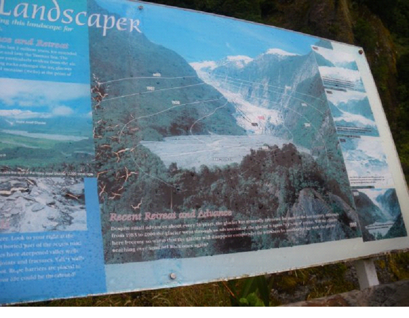
If you look carefully, you can see the levels and the years the glacier was at that level..


Then we continued driving up the coast.. Getting the polite 2 beep thanks when we let folks pass us in the zig zags. Just about everyone was polite that way..  Oh and the possums.. Possum road kills were everywhere on this trip.  You could tell they had a population problem. They were more common then squirrel road kills back home!

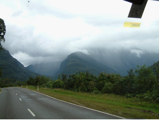
We headed inland a bit to check out Arthurs Pass, as it was supposed to be very beautiful, so even though it was out of our way, we wanted to get there. The rain was picking up again as we drove, but again, it was still beautiful. New Zealand in it’s natural state.

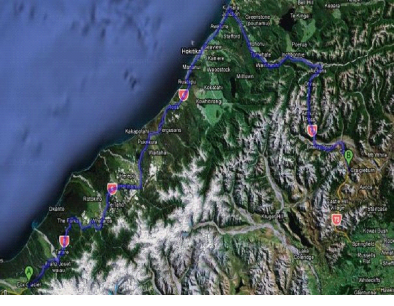
We decided to take photos on the return drive, so you’ll see them in ‘tomorrow’s slate’… But here is the route we took:


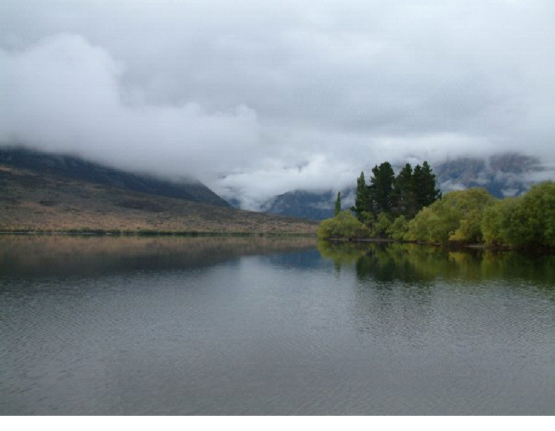
It was getting late before we got to the pass, so we spent the night at Lake Pearson… Great little spot for free, and only a couple others there. We went off roading a little with the camper, trying to get a remote spot.. But after nearly getting stuck trying to park, we didn’t want to chance it, so went back to the main area, and found a spot right on the shore.  It was maybe the best spot I have ever parked and spent the night.  The view out our camper window was inspiring.. And it was free! 😉


The pic above was actually the next morning, but I had to show it anyway.. A couple more will be in the next post..

We whipped up a great spaghetti with garlic bread, and some wine.. and feasted in this glorious spot. The bugs were still a little nuts, so we couldn’t do anything outside though.

When it got dark, it was Pitch black… I mean darker then I’ve ever experienced. It was a bit freaky really, and I bordered on panic attack just due to having no visibility when we turned out the lights to go to sleep. I was a little disoriented at times.. It didn’t matter if my eyes were open or closed – I could not see a single thing, no matter how close it was to my face.

Eventually I managed to pass out though, looking forward to seeing more mountainous landscapes, and then heading back to continue our drive up the coast.

Our Honeymoon blog:Day 9

South Island Day 9 – Head to the west coast

We got up pretty early on our 9th day in New Zealand, to get on the road by 7 30am, since we planned to cover a lot of ground. The day wouldn’t be a total driving waste, since there were a few spots we planned on stopping at.. But the goal really was to cover ground.. I woke up with a bit of a cold definitely, but we were heading out of the damp cool area, and driving towards sunshine!

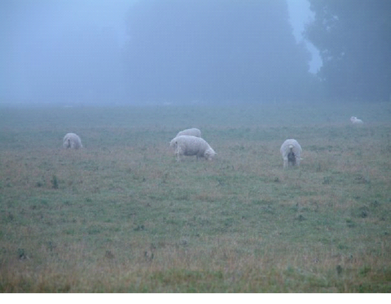
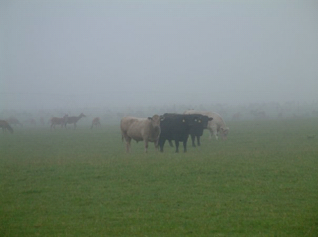
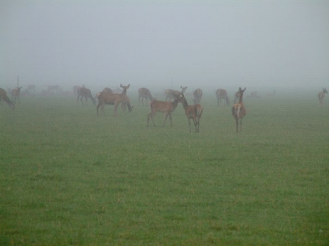
The misty morning gave us a couple nice shots of the farm lands.. Sheep, Sheep and more sheep.. Together with Deer farms and cows and horses..


It was a bit of a surprise to see all of them in the same field sometimes.. And I just couldn’t get used to seeing so many Deer.. Where I live, we see lots of wild deer – never really occurred to me that they would be farmed in some places..


The route was going to take us back up North, towards Frankton, then along a couple lakes to Haast Pass (to get through the Alps), then along the coast to our destination of Fox Glacier – depending on the timing..


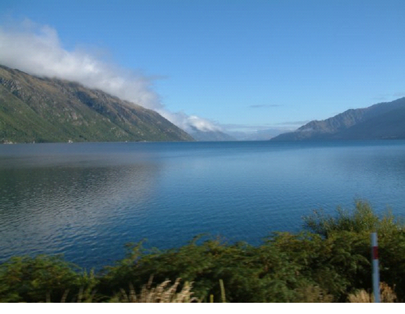
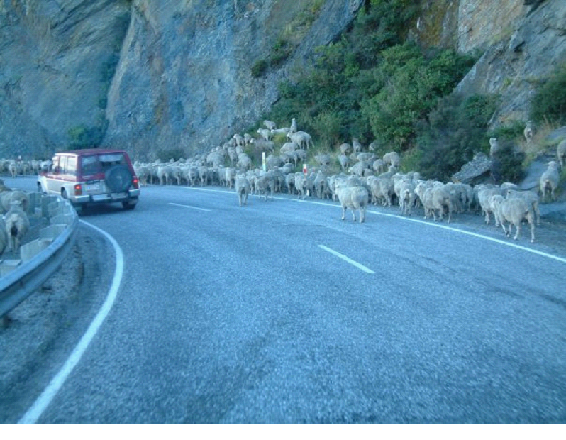
The above is a pic of Lake Wakatipu – we’d be driving along the right side of it.. Swerving in and out along the water.. At one point, a couple kilometers after seeing a sign referring to a shepherd herding his flock, we came across a road full of Sheep!  They were walking along the road (the only route possible, since it was a mountain on the right, and a lake on the left.. A river of sheep.. But the folks in the pickup truck, which was carrying a few crazed dogs (going wild wanting to herd their flock), waved us on.. So we just drove slowly, and the sheep parted a path for us to drive through them.. Here is a pic after they parted, some jumping the guard rail, some getting up on the hill..


Once we hit Frankton, rather then take the faster highway, we took the scenic route, which brought us up over the hills rather then around them.. This is a look back from the way we came..


The scenic route brought us through Cardrona then Wanaka… Where I couldn’t get over the views.. Looking back in the camper while Mish drove, every window looked like a painting..


Here is a pic of Lake Wanaka, where we watched some stunt flying for a few minutes (Apparently one of the things you can buy a seat on in Queenstown – sit in the passenger seat while the pilot flips and spins ya)


We made a quick stop in Wanaka.. Where I must say, much like all over New Zealand, the public washrooms were great – very clean. We had a camper with a shower and toilet, but while it was a comfort to have that backup, New Zealand really made it easy to get by without them. Next time, we may just get a van with a bed and sink.

We followed the Makarora river into Haast Pass, making one stop for lunch along the river.. Where I gave way to my cold, and slept while Mish drove..


Once I woke up, we were on the other side of the mountains, looking out towards the ocean.. We stopped at Haast beach for a little stretch… Buggy but warm and sunny… Bit of a rocky beach… The sand flies were a bit fierce – and when I moved one of the beached logs, the swarm of bugs underneath that came jumping out made me jump! The birds thanked me though.


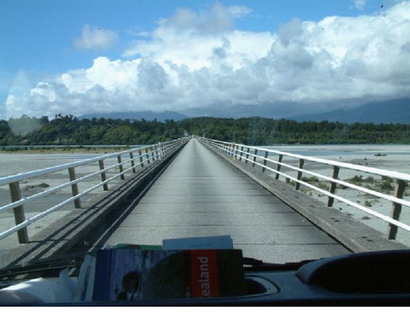
Leaving Haast beach, we headed through Haast Junction, and a one-way bridge that was very long.. had to play chicken with people to make it to the couple tiny little passing areas..


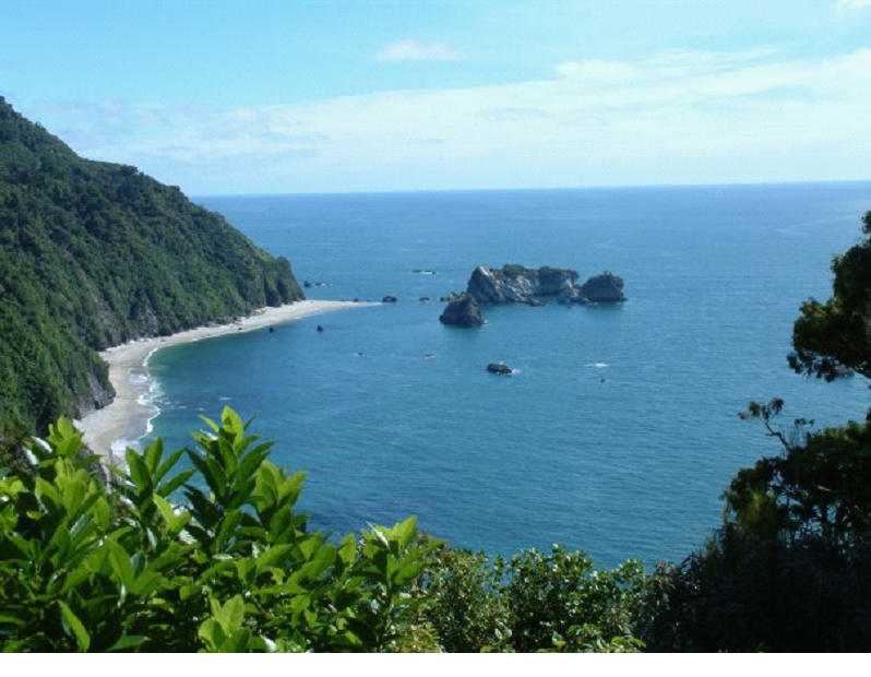
There were quite a few gorgeous little bays along the coast.. Another spectacular drive..


We heard of a few places where penguins frequent.. And since we didn’t have time to check out the main areas which are at the southern tip of the island, we decided to try our luck at a couple spots along the coast. The prime time to catch one on the beach is at dusk though.. So we didn’t get to see any.. Though the Monro beach walk was at least a break from the driving… Lots of bugs though once we got to the beach – way too many. It was fine as soon as you entered the bush.

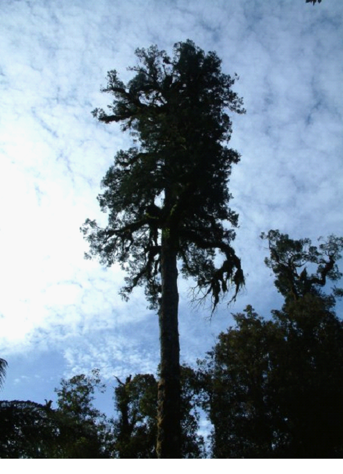
There were some big trees along the walk.. and at one point I nearly tumbled down into the forest from the walking path. I’m someone who rarely loses their balance, and pretty much never falls.. but when I slipped off the side of the trail, I was down in half a second, clutching the dirt to keep from sliding down into the depths..


We continued up the coast until we arrived at Fox Glacier..


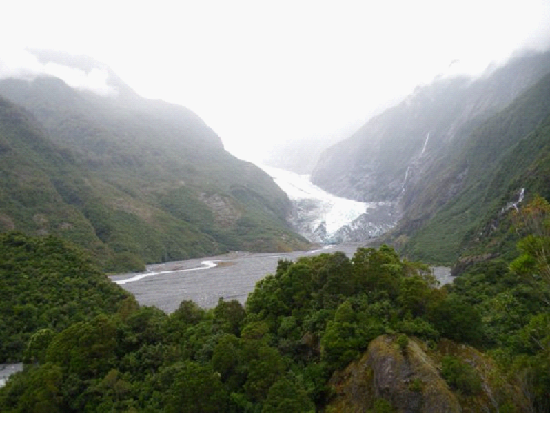
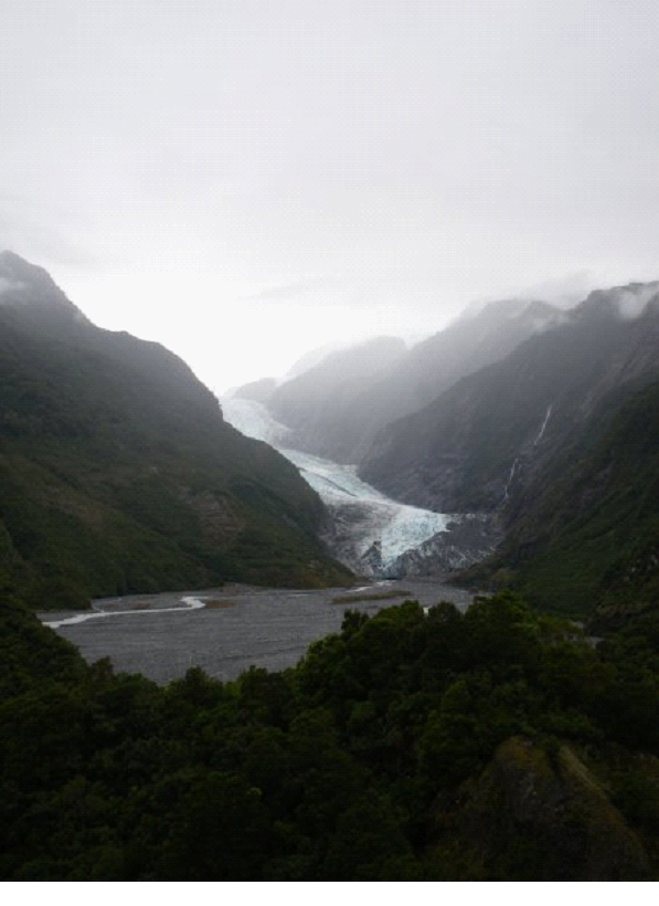
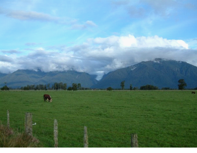
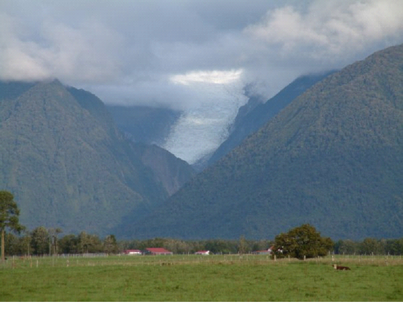
As you may get from the picture above, the first thing that struck me was that while here lies one of the world’s most accessible glaciers, and one of the most active, etc etc.. It’s barely commercialized.  It’s basically surrounded by some farm lands, some homes, a little school, some restaurants, and a few tour companies.

We got a camper spot at Fox Glacier lodge, confirmed our heli hike for tomorrow, then quickly checked out a couple viewpoints. The clouds didn’t co-operate with us – and tomorrow was supposed to be cloudy as well.. So the photos aren’t the best unfortunately..


Lots of cows chatting it up at the Peak view – I had a brief conversation with them 😉

We had dinner at the Cafe Neve, which had good food but horrible service – got my food wrong, forgot to return with the corrected one, gave us the wrong bill, and forgot to bring me my second beer… It wasn’t busy at the time either.. I guess the waitresses at the time were new or something.

We hit the showers (which were the best yet)… Took in the view of the southern stars again.. Then hit the sack to be up in time for our Heli Hike onto the glacier!